GIS Used to Respond to Oil Spill Disaster
By Jesse Theodore, Esri Writer
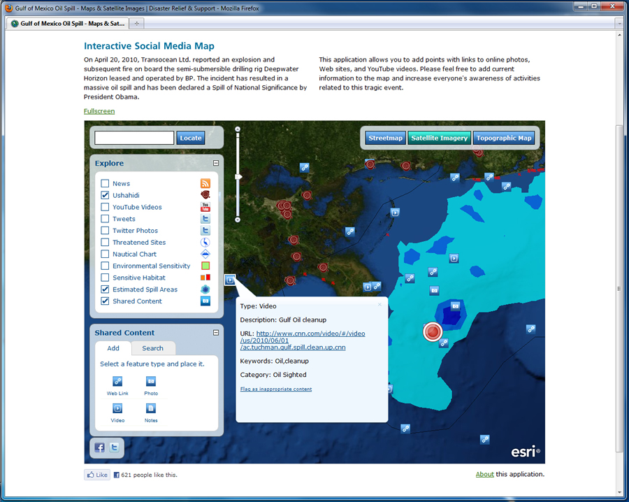 The Interactive Social Media Map lets you add points with links to Web sites, YouTube videos, and online photographs. |
First responders, government officials, environmental experts, and commercial companies are using geographic information system (GIS) technology to monitor the oil spill in the Gulf of Mexico and identify potential impacts to natural resources, including wildlife. GIS analysis and data help responding agencies collaborate by increasing situational awareness to support command and control.
Agencies are using GIS to make better decisions to manage the spill's repercussions. GIS technology supports incident management efforts by delivering current, accurate information to these organizations using a powerful common operating picture (COP).
The spill began in late April after an explosion on the BP-operated drilling rig Deepwater Horizon. In the Gulf of Mexico, Esri continues to work closely with dozens of agencies and the GIS community. Esri's disaster response team is providing assistance to users in local, state, and federal government agencies as well as in the private sector. The team is supplying software, technical support, GIS data, and personnel.
Dozens of agencies have responded to the oil spill, with many using GIS for situational awareness, data collection, and analysis. For example, participants in a Spill of National Significance (SONS) exercise used GIS to compile and consolidate information in a spatial context, providing incident commanders with a COP.
"Since the spill is accruing over a large geographic area, various analysis techniques are being employed to verify placement of boom assets used to mitigate the effects of oil on the shoreline," says David Gisclair, technical assistance program director, Louisiana Oil Spill Coordinator's Office. "By using GIS technology, field information can be processed into products [that are] useful in the incident command decision-making process."
Texas A&M University Sends in "GIS Smoke Jumpers"
Devon Humphrey, geospatial intelligence officer and instructor, Texas A&M University, Corpus Christi, discussed how he and his staff came to help. "We see ourselves as kind of GIS smoke jumpers," says Humphrey. "We came in to fight the spill and set things up so that others can rotate through over the next several years. The plan is for these GIS professionals to train replacement GIS staff as they rotate through the Houma command post and provide them with certification from the National Spill Control School at Texas A&M University. The training will be conducted here in the GIS lab and will include a combination of GIS for oil spill and National Incident Management System [NIMS] training required to work on this spill."
The GIS group at the incident command post, located in Houma, Louisiana, and coordinated by Humphrey and his team, was able to collate all collection data (imagery and maps) from state and federal agencies on oil boom and oil slick information. All this geographic information was posted to allow the situation to be rapidly assessed in a visual way by senior officials in the field.
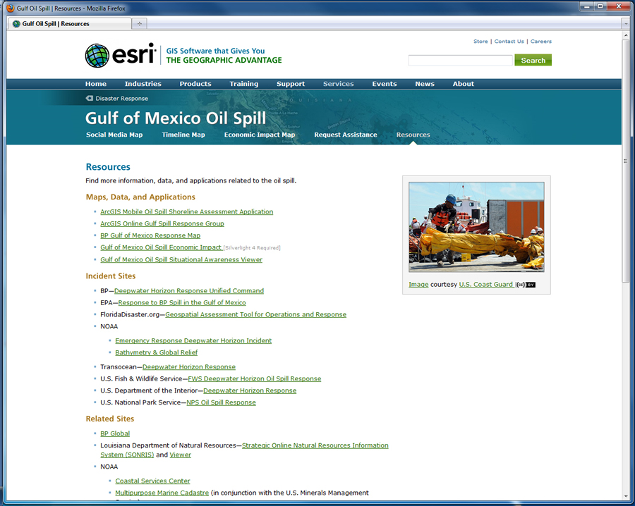 Esri provides many resources related to the oil spill. |
"GIS folks were able to rapidly change layers of information to match user needs," says Lt. Col. Roy Worrall, Incident Awareness and Assessment (IAA), supporting civil authorities, U.S. Army National Guard. "For example, they built a product for the state leadership that reflected information on engineering projects, such as breakwaters, Tiger Dams, and sandbagging operations. All this was done on a daily basis, and products were updated continuously as information became available."
Data Management and Collection also Critical
URS Corporation, an engineering, construction, and technical services firm, has been successfully using GIS to provide data management and decision support to the myriad of businesses and government entities responding to the oil spill.
"The coordination of spatial data for so many agencies, companies, and entities is daunting at best," says Eric Songer, GISP, URS Corporation. "Every federal agency dealing with natural resources is present as well as the state agencies of four different states and all the contractors brought in to help with the response. There are dozens of entities, all with varying degrees of spatial awareness."
Esri's ArcGIS Mobile 10 also was deployed.
"Alabama used ArcGIS Mobile 10 to collect the locations and condition of deployed booms," says Lynn Ford, GIS manager for the Alabama Department of Environmental Management. "The application allows the marine police and resources officers to stream GPS coordinates to a laptop, attribute the line, and edit the attributes. The data is sent to a server in near real time to provide the data to the planners."
 You can find for maps and map services related to the oil spill at www.arcgis.com. |
Esri Sets Up Disaster Response Web Site
Esri continues to offer support and services for the gulf oil spill through its disaster response Web site. Resources include continuously updated maps, data, and applications as well as links to incident-related Web sites. These resources provide responders with tools to anticipate any adverse effects and respond proactively.
As part of its Web site, Esri launched an interactive map application that allows users to add volunteered geographic information (VGI) in the form of links to online photos, Web sites, and YouTube videos. By doing so, volunteers can add current information to the map and increase everyone's awareness of activities related to the spill.
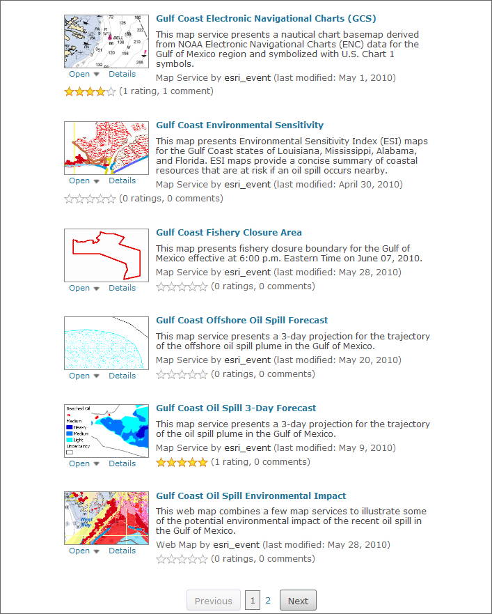
ArcGIS Online was used to rapidly set up portals for situational awareness. The applications, services, data, and maps shared via ArcGIS Online assist with response efforts and help meet mitigation requirements. The site also includes links to relevant map services and downloadable data, maps, and layer packages. Services include an oil spill plume trajectory model, an environmental sensitivity index map, and electronic navigation charts.
Learn More
For more information, contact Geoff Wade, Esri (gwade@esri.com), or Russ Johnson, Esri (russ_johnson@esri.com). You can also visit the Esri disaster response Web site at www.esri.com/services/disaster-response.