ArcWatch: Your e-Magazine for GIS News, Views, and Insights
July 2011
ArcGIS for iOS Improves Users' Experience
New Version of the Application Includes Support for Popups and Basemap Gallery
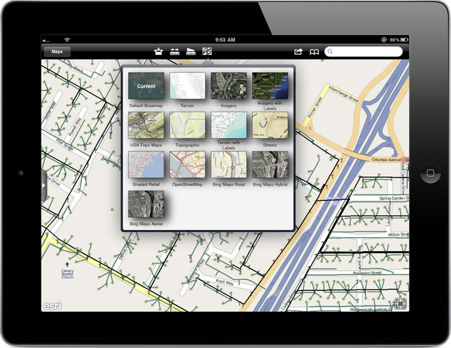
ArcGIS for iOS users can use a variety of ArcGIS Online basemaps for viewing data.
An updated version of ArcGIS for iOS for iPhone, iPad and iPod Touch devices from Esri includes support for popups, the ability to switch basemaps, and other significant improvements.
You can download the ArcGIS for iOS application from the App Store.
The new update lets users view popups in their maps, giving them the ability to see additional information by tapping on the map. Text, photos, pie charts, and website links can be accessed via the pop-up feature.
ArcGIS for iOS users can now use a variety of ArcGIS Online basemaps for viewing data. The basemap gallery contains topographic, aerial, and satellite coverages. The topographic map that's included is a community basemap that users have contributed to, ensuring that the data is authoritative.
ArcGIS for iOS also promotes collaboration and information sharing between multiple users and within the online community. Maps in ArcGIS can now be shared via short message service (SMS), Twitter, Facebook, and e-mail. Users can instantly send their custom maps via text message or post them on social media sites to inform coworkers and friends and collaborate with others in the GIS community.
Esri has added an intelligent dynamic legend to ArcGIS for iOS. Unlike static legends, which define symbology that is not visible at all scales, dynamic legends define symbols as they are revealed on the map.
Finally, the user interface in ArcGIS for iOS has been streamlined to create more map space. Locations on the map can also be bookmarked in ArcGIS for iOS, making it easier to switch between areas of interest.