ArcGIS Online Offers a Simple Way to Share Information and Collaborate
ArcGIS software users now have an easy way to access and share maps, layers, services, and tools for their GIS work. Through ArcGIS Online, users can connect to basemap and task services, create Web Maps without any programming, and upload and share their own maps with other users.
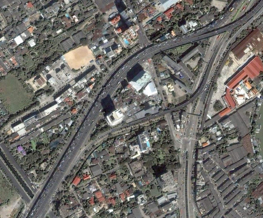 This imagery of Bangkok, Thailand comes from IKONOS World Cities Imagery, which is a free ArcGIS Online standard service. |
ArcGIS Online provides an online platform where users can leverage free cloud-based content for their GIS work and share and collaborate with others who have common interests.
Esri hosts and maintains ready-to-use, precached maps and advanced GIS tasks that require no additional investment in infrastructure or technology for your organization. ArcGIS Online map services, available as standard or premium services, include high-quality imagery, street, shaded relief, topography, and other basemaps. There's no cost for ArcGIS Online standard map services for internal or external noncommercial use. Using ArcGIS Online standard map services in a commercial environment or using ArcGIS Online premium map services requires an annual subscription fee.
Bing Maps is a premium map service from Microsoft available through ArcGIS Online that is seamlessly integrated with ArcGIS. ArcGIS Desktop users current on maintenance have free access during their maintenance year. ArcGIS Explorer users who have an ArcGIS Desktop license on the same machine can also access Bing Maps. ArcGIS Server and ArcGIS Web Mapping API users can evaluate Bing Maps for 90 days at no cost and purchase an annual-transaction-based subscription when the evaluation period ends.
ArcGIS Online task services include world geocoding and routing as well as drive-time and demographic analysis. Except for drive-time and demographic analysis, these services are available at no cost for both internal and external noncommercial use. An annual subscription fee is required for commercial use. Additional free content is available through ArcGIS Online Sharing, a Web-based repository for maps, layers, layer packages, and services uploaded and shared by Esri, ArcGIS users, and other authoritative data providers.
Learn more about ArcGIS Online, including how to access content.