Smart Grid Study Identifies Utility Hurdles
U.S. utilities must correct, update, and integrate customer and infrastructure data before a smart grid can be effectively implemented, according to the findings in a new benchmark study conducted by Esri.
The Esri report, "Is your GIS Smart Grid Ready?," found that that utilities report a lag time of up to 90 days to move data from the field into the GIS. In addition, respondents reported that data accuracy is "spotty" and data is either incomplete or not GPS accurate. Only 15 percent of respondents report high confidence (less than 2 percent errors) in their GIS data.
The report was based on responses from 226 utilities, mostly in the United States.
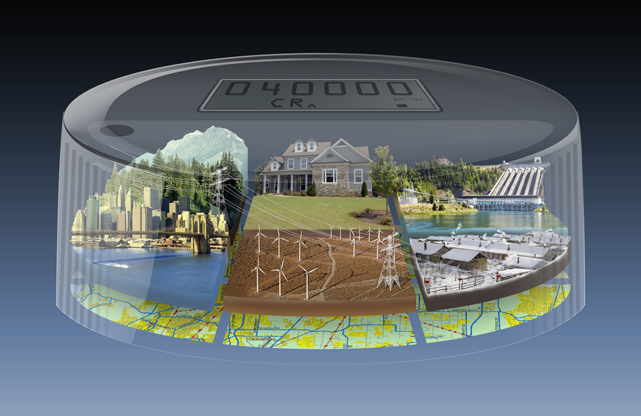
The smart grid, a popular plan to add communication and computer technology to electric networks, promises to make energy cleaner and more reliable.
Utility operators will need GIS to meet crucial smart grid requirements, including collecting and updating data and managing the installation of smart meters and sensors. GIS is also used to analyze energy consumption and help incorporate renewable energy resources into the electric network.
"Simply put, GIS facilitates the building and operation of a smart grid," said Bill Meehan, Esri's utility solutions director. "However, many utilities in the United States acknowledge that the data in their GIS is not ready for the smart grid. Without accurate data and GIS for monitoring things like demand response and consumer behavior, the smart grid may not live up to its lofty expectations."
To view the study's results, watch the video Is Your GIS Smart Grid Ready? To learn more about the role of GIS in the smart grid, visit www.esri.com/smartgridstudy.