ArcGIS Image Server Speeds Enterprise Imagery Distribution and Processing at CenterPoint Energy
CenterPoint Energy now deploys Esri's ArcGIS Image Server for an advanced enterprise application infrastructure, allowing employees to quickly and easily access valuable geospatial imagery.
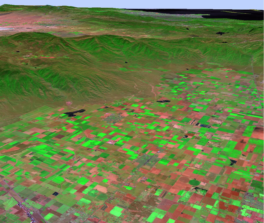 Landsat raster data is quickly displayed with ArcGIS Image Server. |
While the application is initially being used by clients in Minnesota, it will be made available to all CenterPoint Energy employees in the seven states the company serves. The new solution delivers rapid deployment of imagery for multiple simultaneous users, providing high-performance, on-the-fly image processing that aids decision making and boosts productivity.
"We set ambitious goals for using our imagery data, and we needed fast processing times to meet the demands we set up for ourselves," says Cynthia Salas, GIS manager for CenterPoint Energy, the third largest publicly traded natural gas delivery company in the United States. "When we tested ArcGIS Image Server, we found designers, technicians, and digitizers were all very pleased with the processing time. It was twice as fast-in some cases even faster-than previously. And they were impressed with the resolution. It was much better. This is the first time since I've been here that we tested a new technology and had staff come to us requesting that we immediately go into full production."
CenterPoint began using ArcGIS Image Server in the fourth quarter of 2006. The application was initially configured to support mission-critical needs in the event of a large-scale natural disaster, such as a hurricane, which would disrupt service to CenterPoint customers. The value of digital image data was recognized as vital to the restoration of service. CenterPoint wanted to implement a solution that would enable fast, quality delivery of image data immediately after such a large-scale event. ArcGIS Image Server is poised to fulfill those requirements, providing quick access to imagery of an impacted area and damaged assets. This type of information will enable strategic decision making about restoration plans as well as provide the information needed to deliver initial assessment to the media.
The demand for timely imagery led to the opportunity for using image data for numerous other challenges at the utility such as new construction and maintenance. Future uses will include land management, right-of-way management, environmental concerns, pipeline integrity, high-consequence area analysis, and customer service. For example, CenterPoint engineers can look at aerial photography to see hospitals, schools, day-care facilities, and other high-population centers to determine the best locations for adding new pipelines or other assets. Overlaying and integrating imagery data with proposed network data provides a complete view for making the best possible decisions.
ArcGIS Image Server provides fast access and visualization of large quantities of file-based imagery-processed on the fly and on demand. Output imagery can be displayed nearly instantly for a number of users working simultaneously, without the need to preprocess the data and load it into a database management system.