Create and Deploy Rich Interactive GIS Web Applications
By David Martinez, Esri Product Marketing
 With ArcGIS Web Mapping APIs, organizations can create GIS Web applications for free in a noncommercial environment. |
Interested in adding fast, modern Web mapping applications to an Internet or intranet site? Esri's ArcGIS Web Mapping APIs are now available for free for noncommercial use, letting you easily embed, consume, and deploy mapping capabilities in Web or service-oriented desktop applications.
Using ArcGIS Web Mapping APIs, you can offer users rich maps and GIS capabilities similar to those in desktop mapping applications but with Web benefits. For example, you can design applications that offer compelling graphics and an intuitive interface with a consistent user experience across multiple browsers and platforms. Applications built from Web Mapping APIs often perform better and display better maps than traditional server-side applications. In particular, applications that avoid round trips to the server by processing locally on client machines can also improve server performance.
The APIs provide the tools to generate fast cross-browser and cross-platform dynamic maps, with the ability to interact not only with the map itself but also with its attributes and features. Web Mapping APIs for Microsoft Silverlight, Adobe Flex, and JavaScript offer several platforms for creating applications.
Going Beyond Simple Map Display
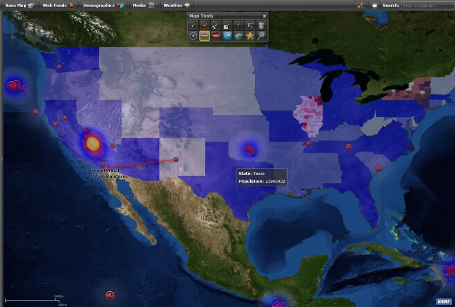
Often, GIS Web applications need to include geospatial functionality that goes beyond simply displaying a map with points. For instance, an appliance repair company may want to use a geoprocessing task to generate drive-time polygons on a map to estimate the length of service calls, then use a routing task to calculate the routes and directions before dispatching vehicles on those calls.
 Create your applications using APIs for Silverlight, Flex, or JavaScript. |
For these types of functions, these APIs provide a set of task classes to perform GIS tasks. These classes allow developers to easily write application-specific code to extract information such as addresses, geometries, and attributes from ArcGIS services and present that information to users. These APIs also allow graphics to be drawn on top of the map (e.g., multipoint, polyline, polygon, and rectangle). For example, a parcel viewer application could contain map tools that allow users to draw on the map to execute a spatial query or measure distances, radius, and areas to provide additional interaction and analysis. In addition, the Web mapping APIs provide components to display maps that support multiple map projections, as well as both dynamic and cached (tiled) map services.
With the APIs, developers can include a variety of tasks in their applications:
- Query—Retrieves features from map services that satisfy attribute queries
- Identify—Obtains features from map services that intersect a location
- Find—Retrieves features from map services that contain a particular value in their attributes
- Address locator—Obtains the location of an address (geocode) or the address of a location (reverse geocode)
- Route—Calculates the routes for vehicles and provides directions between a defined set of stops
- Geometry—Performs geometric operations such as buffering, projecting, and simplifying
- Geoprocessing—Conducts complex GIS analysis by executing geoprocessing models that have been published as geoprocessing services
Resources Available
To save time and resources while learning how to use these APIs, Esri offers the following:
- Live samples—You can simply copy and paste the source code from various samples from the APIs Resource Center.
- Recorded training seminars—You can view code samples and listen to demonstrations from Esri experts on how to use the APIs.
- ArcGIS Online—With a single URL, you can leverage maps and tasks published and hosted by Esri.
- Sample viewer applications—You can quickly deploy these sample viewers with a simple modification to the application's configuration file. Developers can also use the source code to extend the application.
Learn more about how to use ArcGIS Web Mapping APIs.