ArcWatch: Your e-Magazine for GIS News, Views, and Insights
October 2011
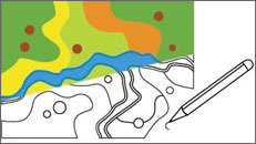
GeoDesign integrates GIS-based spatial analysis into the design process.
GeoDesign Summit
GeoDesign in Practice
GIS and design professionals, academics, and developers who are interested in using geospatial technology in the spatial design process are invited to the third annual GeoDesign Summit at Esri headquarters in Redlands, California, January 5–6, 2012.
The event is open to anyone interested in the emerging field of GeoDesign. Visit geodesignsummit.com to register.
"Thought leaders from both academia and professional practice will be sharing ideas, project examples, and challenges for anyone interested in the future of design and planning in a rapidly changing world. Our hope is that you will leave this summit with new ideas, tools, and workflows that will enable you to do your design work in GIS with greater efficiency and effectiveness," said Shannon McElvaney, project manager of GeoDesign services at Esri.
McElvaney helped organize the 2012 summit. "In the last two years, discussions have concentrated on defining the need for GeoDesign and what constitutes GeoDesign, stirring the pot with big ideas and challenges. GeoDesign concepts have now begun to coalesce, and this year, we will showcase concrete examples of GeoDesign in practice," he said.
The summit will be a mix of plenary, paper, and popular Lightning Talk presentations covering GeoDesign application, technology, education, and theory—four broad topics giving insight into the principles, methods, and tools that have begun to define this interdisciplinary field.
Representatives from a number of renowned architectural firms also will show designs of new cities in Canada and China, in which GIS was used to optimize the master plans. Speakers will share their experiences using GeoDesign for regional planning to address pollution, water and energy needs, and to address the impact of population growth on the environment.
Keynote speaker Braden Allenby will talk about designing an anthropogenic planet.
Others will discuss using GeoDesign for facility lifecycle management including plan optimization, construction management, and ultimately operations and maintenance.
The keynote speaker will be Braden Allenby, an environmental scientist, environmental attorney, professor of civil and environmental engineering, and professor of law at Arizona State University.
Allenby is an expert and pioneer in design for the environment, industrial ecology, and earth systems engineering and management (ESEM). ESEM is used to analyze, design, engineer, and then manage complex environmental systems in a rational, sustainable, and ethical fashion. Allenby's work in ESEM relates directly to the holistic and interdependent nature of GeoDesign and its science- and value-based decision system approach.
In his talk, Earth Systems Engineering and Management: Designing an Anthropogenic Planet, he will describe the fundamental challenges in developing tools and frameworks for a planet that has been increasingly defined by human activities, technologies, values, and cultures. "The GeoDesign Summit is always stimulating and thought provoking, and Allenby is the perfect match," McElvaney said. "He is provocative and a bit of a futurist. He will definitely fan the creative fires we have come to expect at the summit."
Allenby also is an author. His 2005 book Reconstructing Earth: Technology and Environment in the Age of Humans explores development of a new, more sophisticated approach to the environment that considers the power of the human species over earth systems. Allenby's latest book, co-authored by Daniel Sarewitz and entitled The Techno-Human Condition, was published in April 2011 and explores what it means to be human in an era of incomprehensible technological complexity and change.
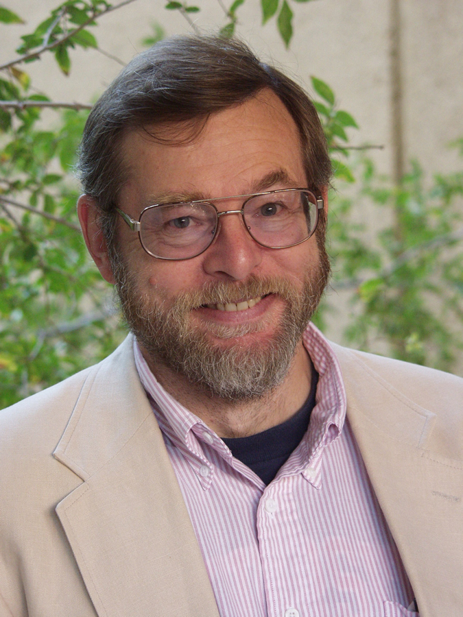
Thomas Fisher, dean of the College of Design at the University of Minnesota, will be a guest speaker at the summit.
Other speakers will include Carl Steinitz, Alexander and Victoria Wiley research professor of landscape architecture and planning emeritus, Graduate School of Design, Harvard University; Doug Olsen, president of O2 Planning + Design, an award-winning landscape architecture, planning, urban design, landscape ecology, and spatial modeling firm; Thomas Fisher, a professor and dean of the College of Design at the University of Minnesota; Paul Zwick, PhD and associate dean for research and graduate affairs at the University of Florida's College of Design, Construction, and Planning; Stephen Ervin, director of computer resources and assistant dean for information technology at the Graduate School of Design, Harvard University; and several other guests.
Several new GeoDesign tools will be demonstrated during the Esri Enabling Technologies presentation. There will also be web-based applications and desktop applications as well as a number of 2D and 3D GeoDesign tools, some of which will be available for attendees to take home and start using in their own applications and projects.
For more information on GeoDesign, visit the GeoDesign website. Send your questions regarding the GeoDesign Summit to geodesignsummit@esri.com.