ArcWatch: Your e-Magazine for GIS News, Views, and Insights
November 2011
The Top Five Traits You Need to Succeed in a GIS Career
Being curious about the world around you is the first trait you need to solve problems with GIS.
Any ranking of the top traits or skills in any field is subjective, so that very quality invites debate and discussion. What do you think are the top five traits or skills you need to succeed in GIS? Although GIS journals and magazines have extensively covered this topic over the past 20 years, the following list stems from my educational work with the GIS community.
Curiosity
First and foremost, GIS professionals should be curious. Successful GIS professionals are inquisitive, not just about geospatial technologies, but also about the world around them. They ponder spatial relationships at work in phenomena from the local to global scale, ranging from demographics, land use, and traffic patterns in their own communities to natural hazards, biodiversity, and climate around the world.
As the number of data sources increases from new multimedia, sensors, and citizen science, proficiency at working with spatial data becomes even more important.
Curiosity fuels another important trait: tenacity. Tenacity, too, is often necessary to solve problems using GIS. How many times have you been so intent on figuring out a problem using GIS that you couldn't get it out of your mind? This drive kept you working until you solved it. The process you go through becomes so clearly ingrained that next time you encounter the same or similar problems, you can apply your newfound skills.
Curiosity also helps frame geographic questions. Asking the right questions is the first step in a geographic inquiry process that leads to successful work with GIS. Asking geographic questions is in itself a topic worthy of a whole article. But suffice it to say here that the ability to do this is important in solving problems and succeeding in a GIS field.
Critical Thinking Skills
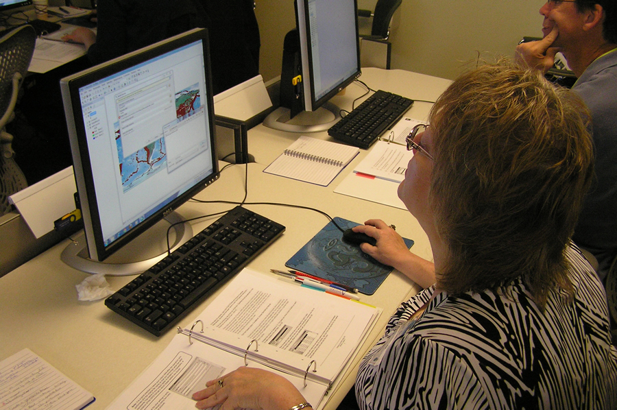
The second trait you need is the ability to think critically. People successful at using GIS have developed critical thinking skills regarding data. Besides knowing where to find data, they understand metadata so well that they know the benefits and limitations of working with each type of data. They know the most effective ways to gather, analyze, and display geographic data through a GIS.
Geographic Foundation Fundamentals
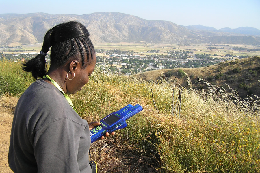
Knowing how to collect, process, and understand field-collected data is important to comprehending geographic foundations.
A successful GIS professional also needs to understand geographic foundations. These practitioners know the fundamentals behind all spatial phenomena, including map projections, datums, topological relationships, techniques for collecting and incorporating fieldwork, spatial data models, database theory, data classification methods, and the effective use of spatial statistics and geoprocessing methods.
Flexibility
Adaptability is the fourth trait essential for success in the GIS field. The field of GIScience is evolving rapidly in terms of its consumer audience, sensor network, programming languages, and functionality. GIS can be accessed on the desktop, via mobile devices, and in the cloud. Successful GIS professionals need to be adaptable and flexible. You need to be willing to change and accept and embrace change as an essential and necessary part of working in GIS. If you work in GIS, you need to be a lifelong learner.
Good Communication Skills
The ability to present the results of your GIS work using different techniques and multimedia is an important component of good communication skills.
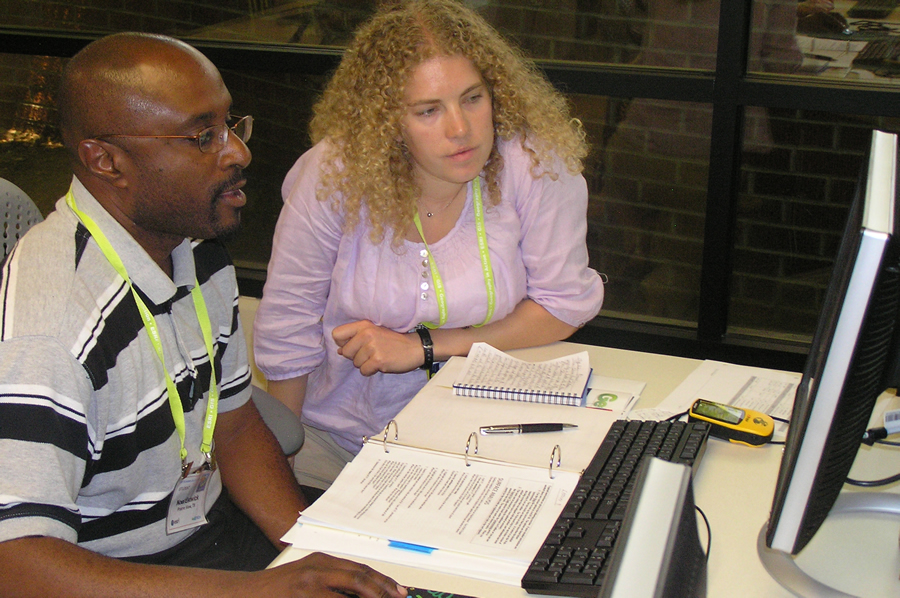
The fifth trait and skill? Be an excellent communicator. You need to know how to use GIS and other presentation tools to communicate the results of your analysis to different audiences. Maps are powerful communication tools, so you should know how to effectively employ cartographic elements like color, patterns, and classification methods. You should also know how to clearly communicate the results of analysis in oral and written reports, in videos, face-to-face, online, and by other means. Because a wider variety of professionals and citizens is becoming familiar with and starting to use GIS, the audience that you will be presenting to will diversify and grow. You therefore need to become comfortable addressing the needs of a variety of different stakeholders, from analysts to administrators and policy makers to scientists and beyond.
Do you think these skills or traits will become more important or less important as geospatial technologies grow in their impact on society in the years ahead? Do you agree with this list? If not, which five traits do you believe are the most important? How can such frameworks as the Geospatial Technology Competency Model inform such a list?
Email me at jkerski@esri.com.