ArcWatch: GIS News, Views, and Insights
November 2012
Reimagine Your World
Geodesign Summit Brings Together Innovative Thinkers in GIS and Design
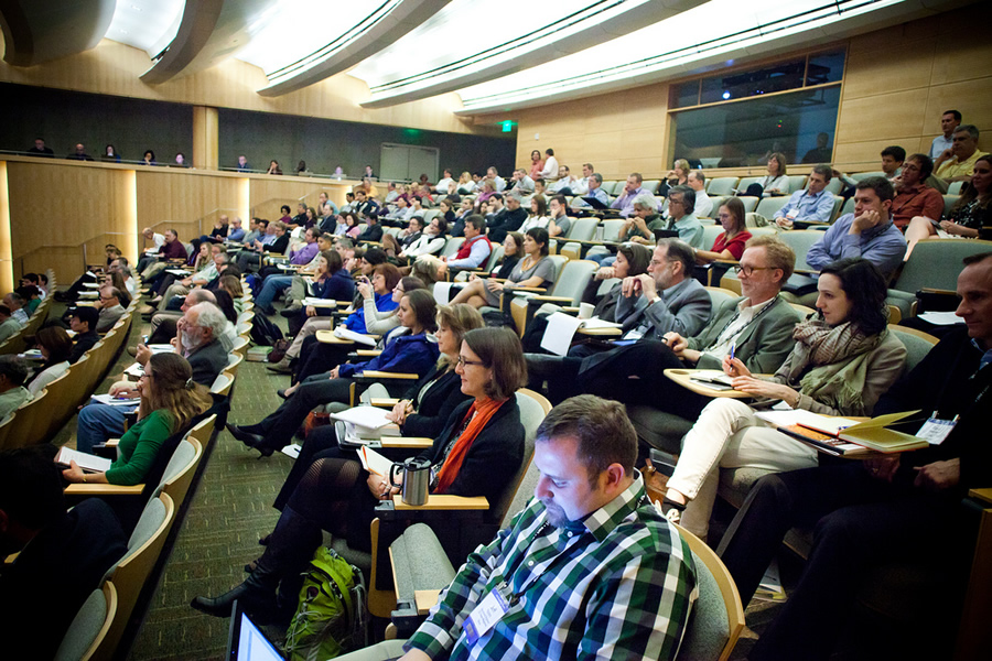
The Geodesign Summit attracts architects, urban and environmental planners, ecologists, government officials, and GIS professionals.
Are you passionate about crafting innovative planning and design solutions using a combination of geospatial technologies and design? Then immerse yourself in two days of inspiring lectures and hands-on workshops on design and geographic information systems (GIS) at the fourth annual Geodesign Summit next January.
The event's theme, Reimagine Your World, reflects how you can use geodesign to envision, design, and realize the best possible outcomes for your projects and the planet. Geodesign combines GIS with design, directly integrating science and social values into the design process. It is a dynamic, holistic process that supports the rapid evaluation of design alternatives and the probable impacts of those designs.
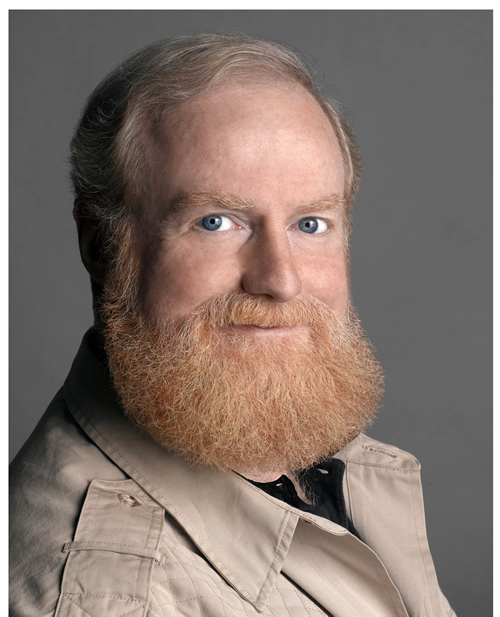
Bran Ferren of Applied Minds LLC will be the keynote speaker.
Keynote speaker Bran Ferren, former president of Walt Disney Imagineering R&D and now the chief creative officer of Applied Minds, LLC, a Southern California design and technology invention firm, will speak from experience about the art and science of the imagination and ways to organize for innovation. He was chosen one of The 100 Most Creative People in Business 2011 by Fast Company magazine.
Ferren will join a number of featured speakers who will talk about using geodesign to solve some of the most pressing issues facing the world today: urbanization, economic development, resource depletion, social inequity, environmental pollution, climate change, and species extinction. All these issues are complex, multiscale, and inherently geographic, and they all require geodesign solutions.
"The summit will bring together the best and the brightest minds to examine these issues using geodesign," said Shannon McElvaney, global industry manager of community development and geodesign evangelist at Esri. "We'll use the geodesign framework to test assumptions and explore what that world-a better world-would look like. Geography needs to become the pioneering platform for investigating our twenty-first century problems."
Geodesign has become part of an evolution of thinking that has its roots in multiple disciplines. "The ecological and social concerns we face require a new way of thinking-an integrated systems approach such as geodesign," said Jack Dangermond, Esri president. For an in-depth look at the evolution of geodesign, read the white paper, Introducing Geodesign: The Concept, by Bill Miller, director of Esri's Geodesign Services Group.
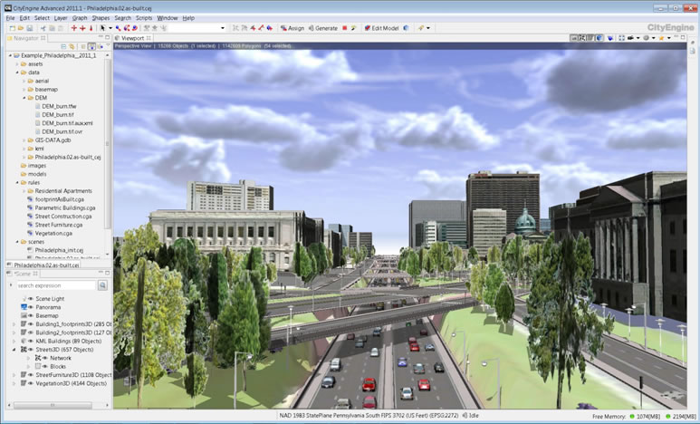
Gert van Maren and Geoff Taylor from Esri will lead a workshop on how to create a 3D city model from GIS data using Esri CityEngine 2012.
Learning Opportunities
For the first time, the summit will offer hands-on workshops, giving you a creative edge to tackle design issues and find sustainable solutions. Some of these free 90-minute workshops, which will be held on the second day of the summit, will give you the chance to experiment with Esri's and third-party software, while other workshops will be conducted in a discussion format that will let you explore larger concepts or issues. The workshops, presentations, and discussions will benefit anyone involved in planning and design, especially architects, landscape architects, urban and regional planners, GIS professionals, site developers, ecologists, environmental planners, researchers, and government officials who participate in the review and approval process for site development.
"Esri CityEngine 2012: Creating and Maintaining a 3D City Model" is expected to be one of the most popular workshops. Esri's Gert van Maren and Geoff Taylor will lead this workshop, walking you through a full workflow for creating a 3D city model from GIS data. The workshop will cover data preparation, database schema development, rule creation, 3D city model maintenance, and 3D city design analysis. You will also learn how to publish 3D city scenes using ArcGIS Online so you can share them with design team members or the public.
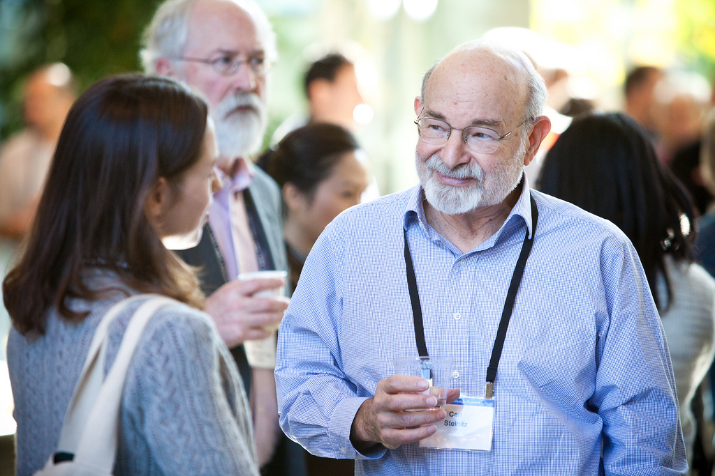
Network with geodesign thought leaders such as Carl Steinitz, who will lead a workshop at the summit.
Placeways LLC and PlaceMatters will present "Geodesign Charette Using CommunityViz." Doug Walker, Amy Anderson, Ken Synder, and Brad Barnett will lead you through a live geodesign workflow to create regional or community-scale land-use plans. You can sketch possible future plans; measure plan performance against economic, environmental, and social indicators; and visualize the plans' appearance on maps and in 3D.
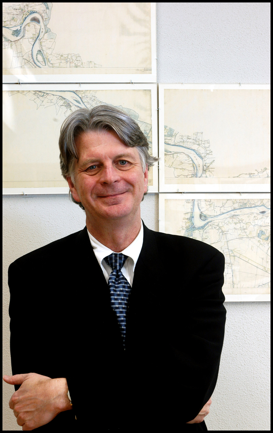
Carl Steinitz will lead the workshop "A Framework for Geodesign." He will describe a geodesign framework using six models for assessing geographic context, proposing changes, and evaluating the consequences of those changes. He will show how to use these models to understand, plan, and manage a variety of land-use and land management projects. Steinitz is the author of the new book, A Framework for Geodesign: Changing Geography by Design. He is the Alexander and Victoria Wiley professor of landscape architecture and planning emeritus, Graduate School of Design, Harvard University.
Brian Bidolli, executive director, and George Obeng, GIS coordinator, of the Greater Bridgeport (Connecticut) Regional Council of Governments, will present the workshop "Applications of Geodesign Methods for Regional Land Management and Brownfields Redevelopment." They will use real case scenarios from the State of Connecticut that focus on sustainable development, job creation, and transportation.
Frederick Steiner, dean of the School of Architecture at the University of Texas, Austin, will give a talk called "Bushwick, You're Beautiful."
In "An Enterprise Vision for Geodesign," Jim VanOstenbridge of Esri will focus on Esri's experience in real-world geodesign projects and offer a vision and technical guidance for developing sustainable geodesign practices. The workshop will illustrate how the ArcGIS system can support a number of design workflows, increasing efficiency and effectiveness throughout a project's life cycle. At the end of this presentation, you will have a better idea of what it takes to implement geodesign practices across an enterprise.
Kelleann Foster, associate professor of landscape architecture at Penn State University, and David DiBiase of Esri, will lead "Academic Pioneers: Emerging Best Practices in Geodesign Education." This moderated panel discussion will address the changes that need to occur in academia if geodesign is to succeed. You will hear a progress report from panelists whose schools are committed to offering courses and programs in geodesign. The most challenging and most promising aspects of their programs will also be examined.
Speakers Share Their Insights
Besides attending workshops and discussion groups, you will get the opportunity to hear noted guest speakers from many disciplines. They will include the following:
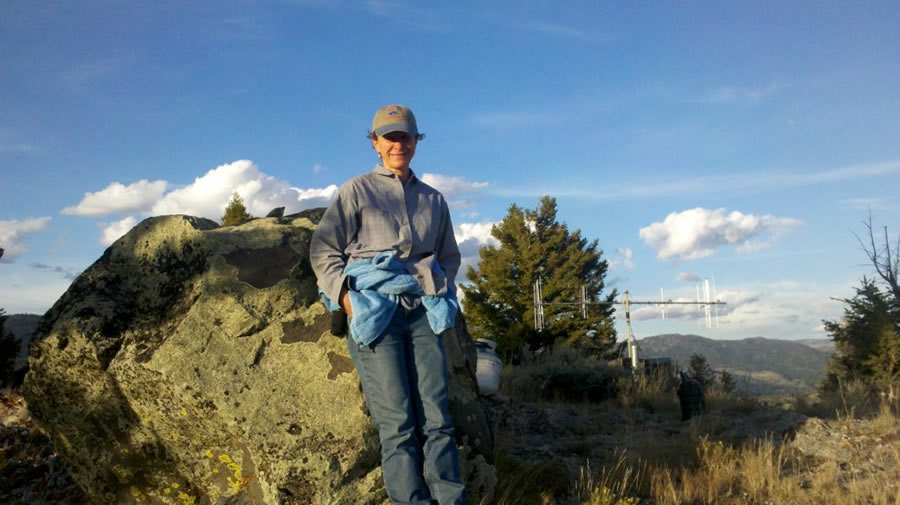
Ecologist Jennifer Sheldon will speak about her coyote and wolf research.
Frederick Steiner, dean of the University of Texas, Austin, School of Architecture, will give a thought-provoking talk called "Bushwick, You're Beautiful." He will delve into what a new design aesthetic that recognizes the complex human ecological system we inhabit would look like. He has written many books on design that follow a common theme: the ability of man to adapt to change he has created while other species perish. His most recent books are Urban Ecological Design: A Process for Regenerative Places (coauthored with Danilo Palazzo) and Design for a Vulnerable Planet.
Jennifer Sheldon, an ecologist, writer, and program manager who specializes in terrestrial and wild dog ecology will give a presentation called "Yellowstone: Ferocious Wild." Her research includes developing spatial models of competitive interactions between carnivores, as well as the demography of coyotes, during gray wolf restoration in Yellowstone National Park.

Alan Reynolds of Stanec Consulting Services will discuss how he uses geodesign for land planning.
Alan Reynolds, US Urban Land sector leader of the design firm Stantec Consulting Services, will give a presentation called Rural Land Stewardship: A Study in Responsible Land Use." He will speak about how GIS and geodesign practices helped facilitate a collaborative public/private planning process that led to the creation of Florida's first award-winning Rural Land Stewardship Plan. The plan is now recognized as a model for incentive-driven conservation, agricultural protection, and sustainable development. His presentation, "An Incentive Approach to Rural Land Conservation," demonstrates the connection between policy and performance.
For more information about the Geodesign Summit and to register, visit geodesignsummit.com. Send questions to geodesignsummit@esri.com.