Great Basemaps Instantly
When creating a map, you typically have operational data layers that address a specific topic (existing store locations, nature trails, fire perimeters) that you want to use to communicate your message. However, you may not have (or want to spend time developing) suitable basemap layers that provide the foundation for mapping these operational layers. With ArcGIS Online, you now have easy access to a wealth of basemaps and specialty map resources.
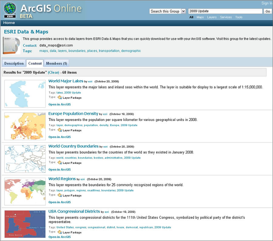 The most recent version of Esri Data & Maps is now available through ArcGIS Online at no charge. |
ArcGIS Online supplies free maps, imagery, and tasks in addition to premium content available by subscription. ArcGIS Online standard map services are available at no cost for internal and noncommercial external use in ArcGIS 9.2, 9.3, and 9.3.1 and with the ArcGIS Web Mapping APIs. Using ArcGIS Online standard map services for commercial purposes or using ArcGIS Online premium map services requires the purchase of an annual subscription.
In addition to free access to world imagery, world street maps, and world physical and topographic maps through standard map services, ArcGIS Online now includes ArcGIS Online Sharing, an application currently in beta that allows you to upload and share data and maps. This central repository of GIS content includes maps, layers, and tools from Esri as well as users who have joined the ArcGIS Online community. The free membership system lets you create interest groups, join groups, and control access to data being shared.
Esri is starting to make much of the content that has traditionally been delivered on DVDs available online through this new application. For instance, the most recent version of Esri Data & Maps is now instantly available at no charge through ArcGIS Online. The Esri Data & Maps datasets will continue to be shipped on DVDs with Esri software, but users can now download them as soon as they are ready, along with the yearly updates. Currently, the datasets include basemap and thematic map documents for North America, Mexico, Europe, and the world. Additionally, commercial data from Tele Atlas/TomTom, AND, WorldSat, EarthSat, Michael Bauer Research, World Wildlife Fund, and Esri, as well as all levels of U.S. Census geography and ZIP Code data are provided. To access this data online, visit the Esri Data & Maps Web page.
With all these options for accessing GIS content, you can obtain better results more quickly and easily when creating desktop and online maps.