U.S. Geospatial Intelligence Foundation Honors Jack Dangermond
Esri President Receives Arthur C. Lundahl Lifetime Achievement Award at 2010 GEOINT Symposium
November 8, 2010
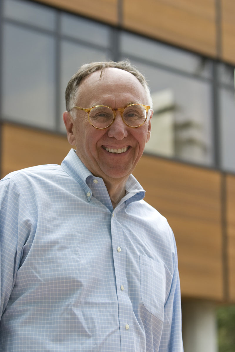
Esri president Jack Dangermond was honored with the Arthur C. Lundahl Lifetime Achievement Award.
Redlands, California—Esri president Jack Dangermond received the Arthur C. Lundahl Lifetime Achievement Award from the United States Geospatial Intelligence Foundation (USGIF) last week in New Orleans, Louisiana.
Dangermond accepted the award at the 2010 GEOINT Symposium, the nation’s premier geospatial intelligence (GEOINT) event. The nonprofit USGIF hosts the symposium as part of its mission to promote the geospatial intelligence tradecraft. The award recognizes an individual’s outstanding contributions and longstanding commitment to the geospatial intelligence community.
K. Stuart Shea, USGIF’s chairman and chief executive officer, lauded Dangermond for being a trailblazer and tireless advocate in the fields of geography, geospatial science, and geographic information system (GIS) technology.
“It was his time at Harvard University that set him on a path to where he is today,” said Shea, briefly tracing the history of how Esri’s early work on mapping projects culminated in the company’s 1982 release of ARC/INFO, the first commercial GIS software. “My former company implemented one of the first digital mapping solutions inside the CIA using his nascent piece of commercial software,” Shea added.
Dangermond, who joined USGIF’s board in 2004, thanked Shea but credited a group of visionaries who started using computers for geographic research and developing computer mapping 50 years ago. Much of the pioneering and inventive work in computational geography, he said, was pursued by “curiosity-driven researchers” such as architect Howard Fisher, founder of the Harvard Laboratory for Computer Graphics and Spatial Analysis, and geographers Waldo Tobler, David Simonett, and Duane Marble.
“It was the birthing of quantitative geography,” Dangermond said. “It moved us from observation, description, and storytelling in the geographic sciences to exploring geography using the concepts of relationships and patterns. You have taken this same set of computational geography tools and begun to apply them in important missions of intelligence gathering and analytics. You are creating new kinds of tradecraft that are saving people’s lives and giving us the strategic advantage as a country.”
Dangermond said that the role of computational geography is growing in the GEOINT community. “At this moment, computational geography and GIS are beginning to play very heavily into our intelligence picture,” he noted.
There’s also a move to what Dangermond called computational intelligence. “We are connecting persistent surveillance with databases, analytics, and interpretive methodologies,” Dangermond said. “Simple observation is not enough.”
USGIF’s Lifetime Achievement Award was renamed this year to honor Arthur C. Lundahl, known as “the father of imagery analysis.” Lundahl founded the National Photographic Interpretation Center (NPIC) at the CIA in 1961, leading the team that saw evidence in U-2 reconnaissance photos of missiles armed with nuclear warheads in Cuba. The discovery sparked the Cuban missile crisis.
Past award winners include Leo Hazlewood, a former executive director of the CIA; Charles E. Allen, former undersecretary of Homeland Security for Intelligence and Analysis; and James R. Clapper Jr., director of National Intelligence.
# # #
Press Information:
Carla Wheeler, Esri
Tel.: 909-793-2853, extension 1-2448
E-mail (press only): press@esri.com
General Information: info@esri.com