Information models
Jump-start your implementation with industry-standard models such as the Utility and Pipeline Data Model (UPDM) and the Pipeline Open Data Standard (PODS). Use the predefined feature classes as they are or extend them as needed.

Measure-based location for the pipeline industry
With ArcGIS Pipeline Referencing, you can easily locate and manage pipeline assets on or around pipeline networks. It allows you to manage route and event data on a common geographic basis and translate the measures for these features between multiple measure systems such as stations or continuous measures. You can also perform data processing via dynamic segmentation and other analyses.
Jump-start your implementation with industry-standard models such as the Utility and Pipeline Data Model (UPDM) and the Pipeline Open Data Standard (PODS). Use the predefined feature classes as they are or extend them as needed.
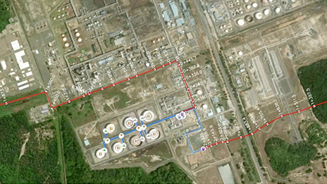
Maintain linear referenced data from across your enterprise in a single linear referencing system (LRS). ArcGIS Pipeline Referencing provides linear referencing capabilities to manage your routes and events on any device or application—including ArcGIS Pro, partner solutions, or other clients—via web services.

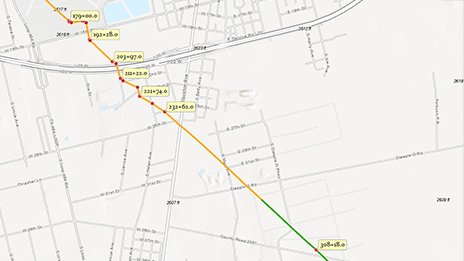
Manage multiple linear referencing methods (LRM) within a single LRS. Reduce data redundancy while supporting various measurement and location methods. Maintain both stationed and continuous measured networks and easily translate measures between those networks for use in analysis and reporting.

In ArcGIS Pipeline Referencing, routes are stored as features, allowing them to be edited and maintained in one system. Additionally, you can utilize out-of-the-box capabilities within ArcGIS such as analytics, machine learning predictions, visualization, and collaboration among colleagues.

Event behaviors are user-configured rules that manage how events should be updated when the route they're linear referenced against changes in location or measure. These rules are automatically applied, reducing the need to manually update your events when the route changes.

ArcGIS Pipeline Referencing is a 3D application, allowing the visualization and editing of linear referenced data in both 2D and 3D. You can also choose to apply the measures to your linear referencing system in either 2D or 3D, depending on how the data is modeled within your organization.

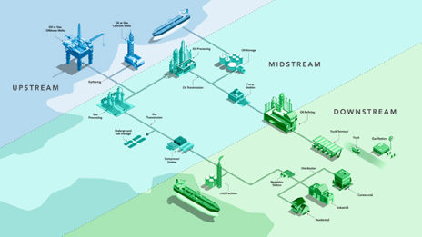
Pipeline GIS data management tool that uses linear referencing as the method of location finding
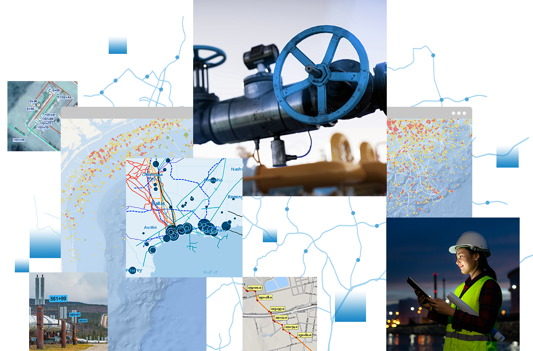
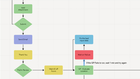
Easily visualize and maintain your pipeline networks and associated data with built-in route and event editing tools.
Expand the reach of your pipeline networks by sharing linear referenced data using ArcGIS Enterprise and ArcGIS Online.
Use your linear referenced data to support annual Pipeline and Hazardous Materials Safety Administration (PHMSA) and other ad hoc reporting.
Learn more about Esri partners that specialize in implementing ArcGIS Pipeline Referencing to support clients across the pipeline industry and related sectors.
Deploy ArcGIS Pipeline Referencing with Utility Network in a single system to take advantage of both linear referencing and connectivity modeling capabilities such as tracing on your pipelines.
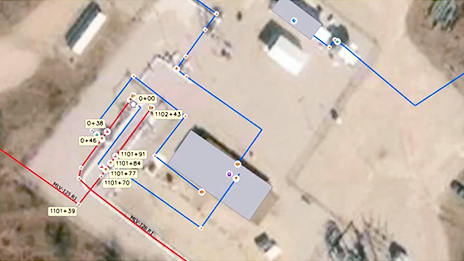
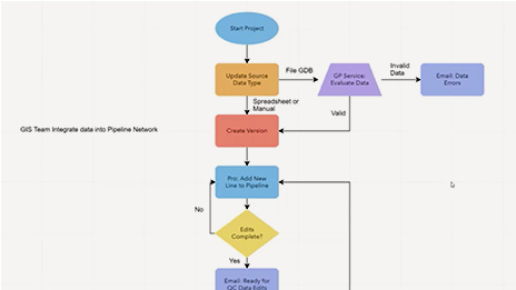
Coordinate complex workflows involving your linear referenced data using ArcGIS Workflow Manager. Streamline every step of repeatable processes such as route and event editing, data loading, analysis, and quality control.
Benefit from a complete data validation system with automated and visual review tools in ArcGIS Data Reviewer. Data Reviewer and attribute rules can be used together to assess, document, correct, and verify the overall quality of your spatial data.
Extend the reach of Pipeline Referencing by leveraging REST services to build applications to edit and analyze your linear referenced data. Take advantage of Esri partner solutions built on top of ArcGIS Pipeline Referencing for additional tools and capabilities.
ArcGIS Pipeline Referencing provides a services-based GIS to maintain and edit data in any application, such as ArcGIS Pro or other web apps. You can interact with data; analyze sophisticated network models; and present and share the results in beautiful, color-coded maps.
Experts across your enterprise can edit linear referenced data using ArcGIS Enterprise.
Efficiently manage your pipeline network by loading and editing linear referenced data in ArcGIS Pro.
Share linear referenced data with your entire organization to support decision-making and analysis.
Collect linear referenced data in the field using ArcGIS Field Maps and manage it in ArcGIS Pipeline Referencing.
Access documentation, system requirements, and demo videos to learn more about ArcGIS Pipeline Referencing.

Esri Energy Resources GIS Conference
New pipeline "mega rule" set to go into effect

Linear referencing comes to ArcGIS Field Maps
A new era of pipeline network data management
Streamlining pipeline workflows
Pipeline data management updates
Please share your information and our sales team will contact you soon. We look forward to communicating with you.