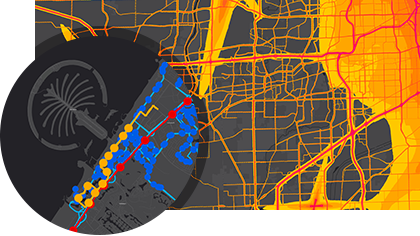
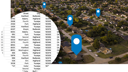
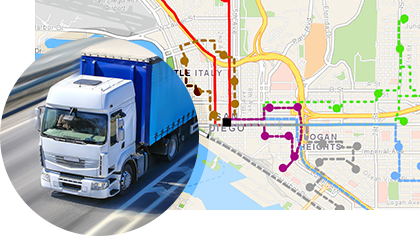
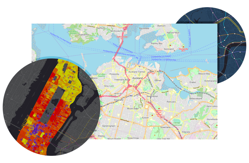
Store
|
Contact Us
|
Careers
Home
Industries
Products
Training
Support
Services
Events
News
About
Products
StreetMap Premium for ArcGIS
Main
Features
Brochures
Comparison Matrix
Pricing
Key Features
Why StreetMap Premium?
Provides access to multiple core business functions: high-quality cartographic display, fast locating of addresses, and turn-by-turn directions between location points.
Requires no data preparation, allowing you to get started quickly.
Available for many geographies, including North America, Europe, Australia, and New Zealand, with additional geographies to be released soon.
Can support your existing or new GIS software implementations, on both ArcGIS for Server or Desktop.
Cartographic Display, Locate, Route
Provides a high-quality, cartographic street map display on which you can easily perform geocoding, location plotting on the map, or generate detailed turn-by-turn directions.
Leverages information from the high-quality datasets such as one-way and turn-restriction data from leading vendors NAVTEQ and TomTom.
Plan your route, or output accurate directions that your team can easily rely on.
Rapid Deployment, Ready-to-Use
Does not require data preparation, providing you with an out-of-the-box, on-premise solution that your users can rapidly deploy.
Its many layers are presymbolized and pre-rendered for use.
Each layer is carefully defined in the data dictionary, which is part of a detailed help documentation provided in every release.
Flexible licensing model—allowing you to license StreetMap Premium for ArcGIS based on your GIS needs, desired geography, and platform.
<p><a href="http://www.boldchat.com" title="Live Chat"><img alt="Live Chat" src="http://vms.boldchat.com/aid/8858911578188219738/bc.vmi?wdid=2353104919931895250" width="1" height="1" style="border:0;" /></a></p>
<div><img alt="DCSIMG" id="DCSIMG" width="1" height="1" src="//statse.webtrendslive.com/dcs3q2ol0vz5bdznfnf3ifnxf_8i8d/njs.gif?dcsuri=/nojavascript&WT.js=No&WT.tv=9.4.0&dcssip=www.esri.com"/></div>