Fall 2009
Fall 2009 |
|||||||
|
|
|||||||
Now Includes Geocoding, Routing, and Expanded Map Options
ArcGIS Data Appliance Provides Ready-to-Use Map and Task Services |
|||||
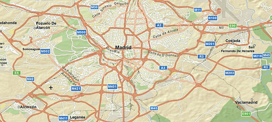
The latest release of ArcGIS Data Appliance, a preconfigured network storage device loaded with terabytes of ready-to-use data, offers geocoding and routing functionality along with expanded imagery and street data. ArcGIS Data Appliance delivers maps and tasks optimized for ArcGIS Server, allowing users to publish map services quickly and securely. ArcGIS Data Appliance users can now securely access geocoding and routing functionality for the United States, Canada, and Europe. The geocoding options enable users to find and display addresses on a map through single address, reverse, or batch geocoding. The routing options allow users to generate routes between two or more points and display the routes on maps along with the associated driving directions. Both the geocoding and routing services use the most recent commercial street data from Tele Atlas/TomTom to provide the highest geocoding match rates and generate the most efficient routes and driving directions. The precached and prerendered basemap data offerings for ArcGIS Data Appliance have been expanded with the following new options: World Imagery, World IKONOS Cities Imagery, and European Street Map. Users can now access detailed satellite imagery for the world, including 15-meter resolution for the entire world and a 1�2-meter resolution imagery mosaic for the contiguous United States. Also, 1-meter resolution imagery for more than 700 major metropolitan areas around the world is available. The street data now includes a multiscale street map for Europe with highways, major roads, minor roads, railways, water features, administrative boundaries, cities, and landmarks overlaid on shaded relief imagery for added context.
ArcGIS Data Appliance provides rich, detailed data—including imagery, street maps, topographic maps, shaded relief, elevation data, and reference layers—that fits easily into an existing IT infrastructure to enhance ArcGIS Server applications and services. The ready-to-use content is optimized for high performance with ArcGIS Server, enabling users to publish large sets of varied data quickly and easily. With the addition of geocoding and routing options, ArcGIS Data Appliance now allows organizations to host many of the same maps and tasks available through ArcGIS Online (see "Free Tools and Interactive Resources Promote More Effective Collaboration and Information Sharing") on their own secure servers behind their firewalls. Users can also combine their own map data with that included in ArcGIS Data Appliance by purchasing additional storage capacity. Their data can be hosted in cache format and published as services, which can be combined in an ArcGIS application with services published using the data shipped with ArcGIS Data Appliance. A complete server bundle is available for organizations that do not have ArcGIS Server. ArcGIS Data Appliance (Server Bundle) includes applicable ArcGIS Server software, choice of data collections and task services, and hardware. More InformationTo learn more about ArcGIS Data Appliance, visit www.esri.com/dataappliance. |