Summer 2006
Summer 2006 |
|||||||
|
|
|||||||
U.S. Census 2010 Supported by ArcPad Mobile GIS Technology |
|||
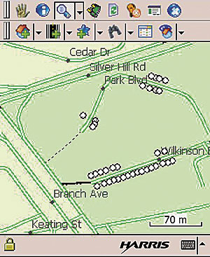
The capabilities offered in the field enumerator's mobile GIS platform include a visual GPS indicator and a visual display of planned routes with nonresponse follow-up address assignments. "We are delighted that Esri technology will be supporting the 2010 Census," says Jack Dangermond, Esri president. "Location data is easily recorded and transmitted directly into databases, increasing operational efficiency and improving workflows." The field infrastructure for the 2010 Census will consist of 13 temporary regional centers that will manage field data collection for their regions and 455 local census offices with management and clerical staffs to oversee data collection. It also will include field operations supervisors and crew leaders who will manage the groups of census blocks within their local jurisdiction. Up to 500,000 enumerators, comprising temporary workers, conduct the bulk of the data collection work. Rick Ayers, Esri, explains that ArcPad will be customized to support tasks, such as navigation, adding and removing living quarters, and updating street features. "The Census Bureau uses GIS technology throughout its organization," he says. "GIS supports programs and services for American Community Survey, American Fact Finder, and more." More InformationFor more information about the FDCA program for the 2010 Census, visit www.harris.com. |