ArcUser Online
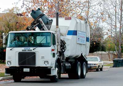
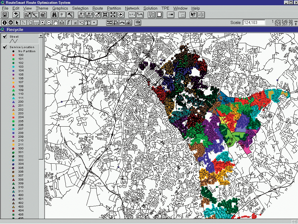
SWS staff create routing-specific information, such as speed limits, elevation, and no left turn intersection, and relates it to the centerline file. SWS service locations are verified and maintained by staff and stored in Emerald. Service-specific attributes such as the dwelling description (e.g., single family house, mobile home, condo) and service type (e.g., automated, rear-loader, handicapped) are maintained for each service location. The dwelling description is important for field identification, and service types are used in routing. Calibration of route information using historical route data and tonnage is an important first step in route creation or modification, a common task for SWS staff. Drivers complete daily sheets that track travel time, time on route, and time at the landfill. In the RouteSmart routing application, demand (tonnage) and service time per location are the variables used to adjust route time to match actual average route time. Service time increases incrementally for automated, rear-loader, and handicapped locations. Capturing correct service requirements is vital to the accuracy and usefulness of automated routes. RequestsBulky item collection, offered to all service locations identified in the SWS database, is available on an on-demand basis. A resident contacts SWS by telephone, fax, e-mail, or online and supplies information on the item. A collection time is scheduled on one of the resident's collection days. At 1:00 p.m., scheduling for the following service day ends. Using a MapObjects application, the operations staff query Emerald and generate maps of the 17 or so daily routes needed to pick up more than 1,000 items. BidsThe City of Charlotte is divided into four service zones. Each zone is funded separately by a five-year contract awarded through a process that requires the SWS to compile and submit a competitive bid along with private sector vendors. During the bid creation process, routing is a crucial tool used for load balancing, resource planning, and predictive modeling. What-if scenarios using alternative landfills, equipment types, equipment counts, or transfer stations are essential tools for producing a competitive, realistic bid. Operations staff play an active role in assessing route feasibility and developing alternative solutions. Routes are generated as previously described. In the bid generation process, emphasis is on higher-level analysis of service day boundaries and equipment requirements, not specific travel paths. CitationsThe Community Improvement division of SWS is responsible for enforcing the Health and Sanitation ordinance of the Charlotte city code. Inspectors issue violations for excessive weeds and grass, junk cars, graffiti, and other unsightly or unsafe property conditions. Although each inspector is responsible for a service area, inspectors also take citizen requests that have been logged in Emerald.
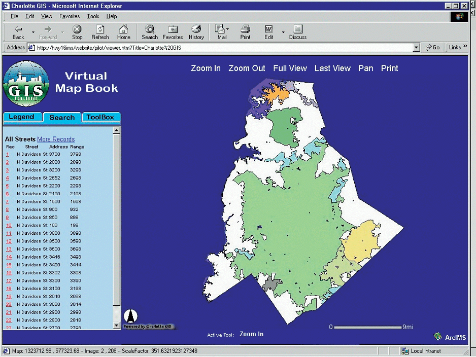
In either case, once a location is identified as a problem, the inspector must research ownership to issue a violation. In the past, inspectors had to go to the tax office and search through physical documents to confirm ownership. Now, inspectors save many hours by using the NC GIS: Online Real Estate System. This Web site, developed by Mecklenburg County, identifies property owners and can generate property dimension maps for the contractors who perform remediation. Current and Future ChallengesStaying current with a dynamic street file and reconciling different street names from the street file to the Emerald database are challenges currently faced by SWS that will hopefully be resolved by moving from shapefiles to an ArcIMS/ArcSDE platform with a more powerful database engine. Resolving unmatched service locations and generating routes for services with varying participation rates, such as recycling and yard waste, are problems currently being addressed through process analysis. SWS will continue to rely heavily on GIS to do business in creative and cost-effective ways. For more information, please contact Michelle Groce
About the AuthorMichelle Groce, a graduate of St. Andrews Presbyterian College, has worked at the City of Charlotte and Mecklenburg County in various capacities since 1988. Her first GIS project involved building the city storm water infrastructure asset inventory in 1992. She has worked on a team in developing a GIS strategic plan for Charlotte and is currently serving on 11 of the 12 committees responsible for implementing the plan. |