ArcUser Online
Spring 2011 Edition
GIS Bookshelf
This article as a PDF.
Jacquard's Web: How a Hand Loom Led to the Birth of the Information Age
By James Essinger
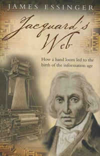 In this skillful blend of history, biography, science, and technology, James Essinger shows how the technological innovations that created the first programmable loom led to the emergence of digital computers. The brilliant nineteenth-century scientist and mathematician Charles Babbage recognized that the concepts embodied in the punched cards Joseph-Marie Jacquard used to automate the weaving of threads of silk into elaborate patterns could be used to weave information. His Analytical Engine was designed to reliably perform the formidable calculations needed to further scientific inquiry. Despite the brilliance of his concept, Babbage struggled to obtain recognition and funding for the project, and it was never completed in his lifetime. Without the determined efforts of Ada Byron, Countess of Lovelace (better known today as Ada Lovelace), in promoting and explaining the work of an increasingly cranky and reclusive Babbage, later generations might not have known about it or appreciated its value. It was left for Herman Hollerith to make Babbage's vision a practical reality and IBM to make it a commercial success. Jacquard's Web is a thought-provoking and entertaining tale that traces the information revolution of the twentieth century to its roots in 1804. Oxford University Press, 2007, 320 pp., ISBN: 978-0192805782
Disease Maps: Epidemics on the Ground
By Tom Koch
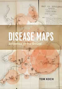 In a sense, Disease Maps: Epidemics on the Ground is the prequel to Tom Koch's 2005 book Cartographies of Disease: Maps, Mapping, and Medicine. In the first book, Koch examined the relationship between medical mapmaking and medicine and GIS. In this soon-to-be-published book, he advances the idea that physicians, scientists, public health proponents, and others, used maps as a "workbench" to develop and test theories of disease. Understanding disease begins with the visualization of its occurrence not as a personal event but as a public one that must be considered in context and responded to through communal action. This premise is discussed using maps of disease outbreaks on scales from local to international and from the seventeenth to the twenty-first centuries. Read a more complete explanation of the theme of this book in "Visualizing Disease: Understanding epidemics through maps" in this issue. This book is currently slated for publication in May 2011. University of Chicago Press, 2011, 368 pp., ISBN: 978-0226449357
Why 'Where' Matters: Understanding and Profiting from GPS, GIS, and Remote Sensing; Practical Advice for Individuals, Communities, Companies, and Countries
By Dr. Bob Ryerson and Dr. Stan Aronoff
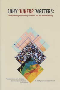 In the emerging Geo-Economy, the authors maintain that understanding the converging geospatial technologies of GPS, GIS, and remote sensing is essential to countries, companies, and individuals. The Geo-Economy is the economy transformed by the seemingly insatiable appetite for integrated geospatial information. After tracing the use and growing importance of geographic information, the first chapter surveys existing geospatial technologies and the impact of their convergence on society. The next chapter addresses the importance of geographic information in formulating effective policies for dealing with the future. The final chapter prescribes how individuals, organizations, and countries can and should benefit from the use of geographic information. Kim Geometrics Corporation, 2011, 378 pp., ISBN: 978-0986637605