ArcUser Online
In the lower half of the dialog box, under Geographic Coordinate System, click the Select button and browse to the directory where you unzipped the sample dataset. Choose Mars_2000Sphere.prj and click Add, then click OK to set the projection for the data frame. To use this projection again, click the Add to Favorites button before clicking OK again to close the dialog box. Plotting the Landing Site CoordinatesThe rover locations were determined by the MER navigation and science teams by fitting direct-to-earth (DTE) two-way X-band Doppler and UHF two-way Doppler between the rovers and the Mars Odyssey satellite and matching features in satellite images to images returned from the rovers. With respect to surface features, the Spirit lander is located at 175.4729�E, 14.5692�S, and the Opportunity lander is located in a ~20-meter diameter crater at 354.4734�E, 1.9462�S. These locations are not exact, and as more information is returned, they could change. For this exercise, the Spirit values will be slightly shifted to 175.472636�N, 14.5684�S so they will better fit the images. For additional information on methods for locating the rovers, visit the MSSS site at www.msss.com/mer_mission/finding_mer.
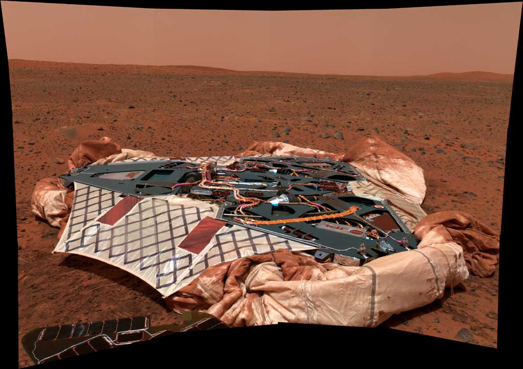
After the landing site points are plotted, zoom into the Spirit landing site. Notice the white area under the lander's location. Another white area is northwest of the Spirit lander. The white mark, near the middle of the image, is actually the lander. The northwest white area is the parachute and backshell that detached from Spirit during descent. Also notice the dark scar on the rim of the crater to the northeast. This is believed to have been caused by the impact of the detached heat shield, which was also released during descent.
The highest resolution image for the Opportunity lander site is called 01_overview_nolabled-B016R1.jpg. This MOC image has a resolution of 1 meter per pixel and contains the white pixel marks showing the lander (left of middle in the small crater) and the parachute and backshell near the western edge. The heat shield scar is in the southeast in the image and directly south of the large crater. This image is courtesy of NAS/JPL/MSSS. The accompanying illustrations show examples of the final maps for both sites. Have fun exploring the landing site areas and compare these views to images sent from the actual Mars rover landing sites. For more images and information about the Mars rovers, visit marsrovers.jpl.nasa.gov. For planetary GIS information, visit the USGS Planetary GIS support site (aka PIGWAD) at webgis.wr.usgs.gov/. For more information on this tutorial, contact Trent M. Hare, Computer/GIS Specialist About the AuthorTrent M. Hare, a computer/GIS specialist with the U.S. Geological Survey Astrogeology team since 1994, received a bachelor's degree in computer mathematics from Northern Arizona University. He has also taken additional course work in ArcIMS development, digital photogrammetry, and ArcInfo. He is currently involved in ongoing projects with NASA Planetary Geology and Geophysics, Mars Data Analysis, and other research programs developing GIS Web sites for planetary datasets. His work on the Mars 2003 landing site selection involved writing code specifically designed in ArcView to help generate landing ellipses for targeting the rover's descent. He has also designed and written tools in C++ for photogrammetric and remote sensing software using Viking, Clementine, Pathfinder, and Magellan datasets; created virtual reality modeling language (VRML), image, and DEM importers and exporters as well as provided other USGS projects with GIS and programming support. As part of his work with global 1:1 million datasets, he developed a GIS interface and specialty routines and compiled the datasets. His customized ArcView interface let non-GIS users easily generate maps. He also managed the database creation for a GIS project to compile geologic maps of China. Hare designed the Titan Swath Viewer (TSV) in ArcView for the Cassini satellite and customized the ArcView interface so that novice GIS users could test different satellite targeting scenarios. Resources
|