ArcUser Online
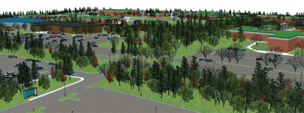
Importing three-dimensional objects is simple. To add horses, points in a new shapefile were scattered around the stables. These points were given various orientations specified in a Rotation field in the attribute table. A free three-dimensional horse model was downloaded from the Internet and added as a 3D marker symbol. Fences in the stables area are numerous, but were easily included by saving line features on the fence layer from the AutoCAD drawing as a shapefile and then applying a 3D texture line symbol representing a rail fence from the ArcScene 3D symbols. Where to Go from HereAdditions and refinements can be made to any virtual model. However, it is possible the C.W. Post campus model may generate more interest and foster more participation on campus in its current state rather than a more realistic version. Nonetheless, there is a long wish list of enhancements for this model. The use of three-dimensional tree models based on actual species and the creation of three-dimensional buildings draped with images of the actual structures are two changes that would make the model more photorealistic. C.W. Post's campus contains an arboretum with a large variety of trees. Images of these trees have not been captured digitally. After documenting the location of arboretum trees, more of the different 3D markers for tree species from ArcScene could be used to represent them. Such an assignment could prove to be an interesting and fun field exercise for students in the Biology Department and would introduce students outside the Department of Earth and Environmental Science to the power of three-dimensional display using GIS. In addition to the College of Liberal Arts and Sciences, C.W. Post has a dynamic and vibrant College of Visual and Performing Arts. While students studying computer graphics learn how to create and render three-dimensional models, they do not use a geospatial format. Participation by students from the College of Visual and Performing Arts would undoubtedly lead to interesting visualizations that could include creating photorealistic buildings and incorporating them into the ArcScene model. ConclusionIt is impossible to capture every detail from the real world in a three-dimensional model; however, that shouldn't stop GIS users from getting started. ArcScene, with its capabilities to display smooth surfaces, includes true three-dimensional symbols and textures and can extrude and offset two-dimensional features into three dimensions. ArcScene offers all the functionality necessary for anyone to begin the fun of creating a three-dimensional virtual world. For more information, contact Pat Kennelly About the AuthorsSuzanne Gross is a recent graduate of the Honors Program of C.W. Post, with a bachelor's degree in information management and technology. Pat Kennelly is an assistant professor of geography at C.W. Post and has previously contributed articles on cartography to ArcUser. |