Solve Data Alignment Mysteries
 This article as a PDF . This article as a PDF .
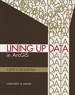
In a perfect world, every GIS dataset you received would have the correct coordinate system and information about that coordinate system would be reflected in the metadata. Lining Up Data in ArcGIS: A Guide to Map Projections by Margaret M. Maher helps you deal with the less than perfect world in which you work. Dealing with data that should display correctly—but does not—is a common aggravation for GIS users. The author has spent years with Esri's support services helping GIS users solve problems associated with map projection and data conversion. This book grew out of the countless e-mails she has written explaining how to identify mystery projections, perform transformations, and get data layers to line up correctly.
This book is a reference for troubleshooting common problems associated with data misalignment that focuses on the coordinate systems used in the United States. Each chapter addresses specific problems and can stand alone. The basics of working with coordinate systems and map projections, as well as understanding and applying geographic transformations, are covered. Many chapters provide best practices that will help users avoid problems.
The topic of using CAD is extensively treated. Three chapters target the many special challenges associated with using CAD data including handling CAD data that
- Uses nonstandard units of measurements, local coordinate systems, and rotated data
- Has features turned off or locked so they are not drawn in ArcMap
- Uses ground coordinates
- Is stored in binary CAD files that have file names with spaces so that projections cannot be directly defined
"Chapter 5: Aligning CAD Data—Modifying a Standard Coordinate System" supplies guidelines that can be given to CAD operators who provide data to GIS departments. Following these guidelines will avoid common problems caused by the methods used when creating and saving CAD data. The text also describes how custom projection files can be created to deal with the unique situations often encountered when using CAD data.
With more than 4,000 projection files available in ArcMap, being an effective projection detective requires a systematic method for identifying the correct coordinate system when presented with data lacking correct or any documentation. As Maher notes, "The key to this process is the extent of the data. The data extent can be viewed and analyzed when the data is added to ArcMap. Data can be created in geographic, projected, or local coordinate systems. By examining the extent of the data in ArcMap, you can identify the type of coordinate system used to create the data."
The author, who specializes in projections and data conversion in support services at Esri, has personally closed more than 12,000 incidents related to problems with map projections and data conversions and has written numerous articles on map projection and data conversion topics for the Esri Support Services Knowledge Base.
This is a tremendously useful book for both experienced and novice users. It can be purchased from esripress.esri.com or from booksellers in the United States and Canada. ISBN: 9781589482494
|