ArcUser Online
Learn How to Model Networks
Hands On articles build skills
These tutorials demonstrate how GIS can help measure areas of coverage, response times, slope, and other factors.
A model is a set of rules or procedures for representing a phenomenon or predicting an outcome. Mike Price has written a series of articles that show how to construct networking models using the ArcGIS Network Analyst and ArcGIS Spatial Analyst extensions. These articles also teach basic data management techniques, offer tips, and show how to prepare data for use when modeling networks.
While each exercise is self contained and can be worked independently, these articles were written as a series. Each exercise builds on knowledge and skills learned in previous tutorials.
| Article | Description | Sample Dataset |
|---|---|---|
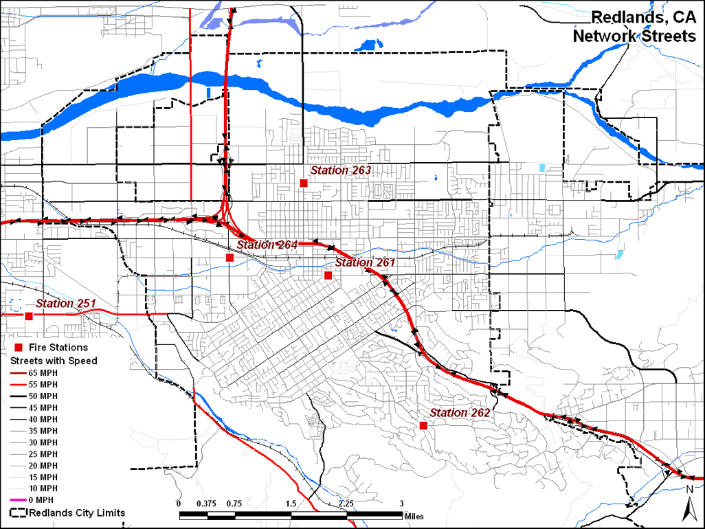
| Managing Volunteer Firefighter Response | Using the OD cost matrix to model personnel availability | Get sample dataset |
| Priming the Pump | Preparing data for concentration modeling with ArcGIS Network Analyst 9.2 | Get sample dataset |
| Priming the Pump�Stage II | Modeling and mapping concentration with fire response networks | Get sample dataset |
| Slopes, Sharp Turns, and Speed | Refining Emergency Response Networks to Accommodate Steep Slopes and Turn Rules | Get sample dataset |
| Coding and Counting | Joining and summarizing tables to add information | Get sample dataset |
| Using 9.3 Functionality and Scripts | Calculating transportation network slope and travel parameters | Get sample dataset |
| Convincing the Chief | Proving that time-based networks really work | Get sample dataset |