The City of Frisco, Texas, Earns Esri President's Award
SAFER GIS Application Provides Enhanced School Public Safety
July 19, 2010
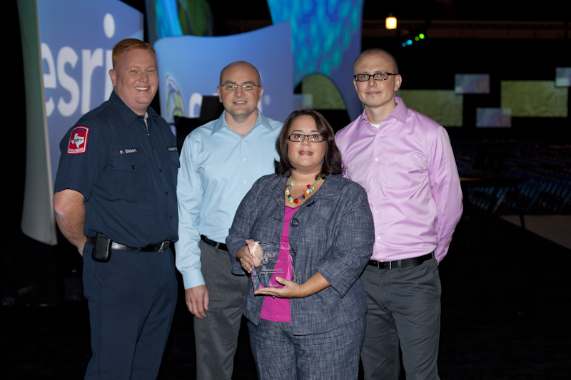
Staff honored in front of thousands at the Esri Conference.
Redlands, California—July 19, 2010—The City of Frisco, Texas, was honored with the Esri President's Award for outstanding geographic information system (GIS) work, particularly in providing improved public safety for its schools. The award was presented Monday, July 12, at the 2010 Esri International User Conference, held in San Diego, California.
The city developed an application called Situational Awareness For Emergency Response (SAFER), which provides fire, police, and emergency responders with access to maps and live data feeds while en route to a school incident. SAFER takes advantage of Esri business partner GeoComm's GeoLynx solution, which is built using Esri technology. The system became fully operational in 2009.
"The project makes the schools, students, and first responders safer," says Susan Olson, GIS manager, City of Frisco, Texas. "It enables city public safety departments to better serve the school district and will eventually help all commercial business owners. Implementing this system has allowed the departments to reduce operations costs by having all the relevant information in one place. It lowers risk and better prepares responders on the way to an emergency."
"The city's GIS, and the SAFER project in particular, is an example of how smaller local government agencies can do important work cost-effectively," says Russ Johnson, public safety manager, Esri. "The GIS team leveraged the city's local government ELA [enterprise license agreement] to open up more GIS capabilities for other departments. One of the results is that the city is better prepared to take action in an emergency."
The city uses GeoLynx Mobile software, deployed on mobile data computers in its emergency vehicles, to access GIS information remotely. It has GeoLynx 9-1-1 at its dispatch stations, and the emergency operations center uses a custom ArcGIS Server Web application. SAFER integrates multiple databases and gives people information such as aerial maps (obliques and orthophotography), footage from hundreds of school surveillance cameras, dispatch data, campus photos, floor plans, and automated vehicle locations.
With SAFER, users can
- Visualize an incident for immediate planning and response.
- Improve communication between first responders and other staff.
- Make critical decisions using a common operating picture.
"The City of Frisco's SAFER program demonstrates the role that GIS can play in enhancing communications for multiple agencies and ultimately improving emergency response to its citizens," says Jody Sayre, vice president of Client Services at GeoComm. "The project team was highly engaged in this project from day one, and it is very deserving of this award."
SAFER is just one of the city's successful GIS programs. Other GIS applications include CityWorks for public works work order management, reverse 911 notifications, carrying out law enforcement warrants, and water utility billing. These GIS applications help the city manage growth; according to recent census information, Frisco is the fastest-growing city in the United States. GIS helps it design new infrastructure and improve existing resources to accommodate this continued growth.
# # #
Press Information:
Jesse Theodore, Esri
Tel.: 909-793-2853, extension 1-1419
E-mail (press only): press@esri.com
General Information: info@esri.com