Utility Improves Outage Response with Mobile GIS
New Tool Helps ArcGIS Users Become Active Contributors to Wiki World Map
August 16, 2010
Utility crews track field maintenance with Esri mobile GIS.
Redlands, California—Northeastern Rural Electric Membership Corporation (REMC) is able to better serve the energy needs of its growing customer base by using mobile geographic information system (GIS) technology from Esri. The consumer-owned utility supplies electric power to more than 26,000 households and businesses in northeastern Indiana.
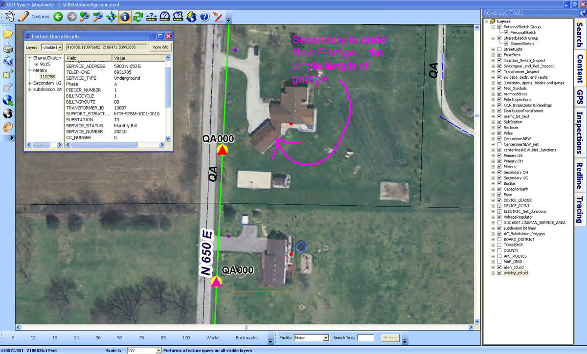
Northeastern REMC utility linemen once navigated the service territories by memory, armed with a handful of paper maps. Now field crews use laptops equipped with ArcGIS software from Esri to instantly update information related to work orders, regular maintenance, and customers. The GIS data is accessible throughout the company, with approximately 43 users on different devices in several departments.
Steven Weber, Northeastern REMC GIS technician, said, "Using GIS technology, we can deliver the right information to the right hands at the right time. Field crews can view, search, and revise GIS data and use GPS for facility locating and routing. This improves the flow of accurate information from the field to the office to the customers."
Bill Meehan, Esri director of utility solutions, said, "Utilities have struggled for years to move information into and out of the field. It is wonderful to see how Northeastern REMC addressed this problem by empowering field-workers with mobile GIS."
Read the case study on Northeastern REMC, and visit www.esri.com/electric for more information.
# # #
Press Information:
Jessica Wyland, Esri
Tel.: 909-793-2853, extension 1-3345
E-mail (press only): press@esri.com
General Information: info@esri.com