Esri International User Conference Brings GIS to Everyone
August 2, 2010
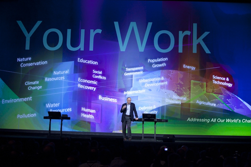
Esri president Jack Dangermond addresses the GIS community
Redlands, California—At the 2010 Esri International User Conference (Esri UC), experts described how technological advancements in geographic information systems (GIS) have changed the global geospatial landscape. During the weeklong event held in San Diego, California, in July, 13,000 attendees participated in talks, watched software demonstrations, and attended paper sessions describing the ways that geospatial information and analysis are available to everyone.
Esri president Jack Dangermond's plenary address described the collaborative capability of GIS and its role in a new era of information sharing. "Converging forces of advancements in computers, the Web, mobile devices, real-time measurement, and GIS software are making this possible," he said. "A Web-based geospatial platform is emerging that is a distributed network of data and services. This is changing the way we work together."
Esri technology experts demonstrated how ArcGIS 10 is a system that can be used to collaborate in an enterprise environment. They demonstrated Community Maps, ArcGIS Online, ArcGIS.com, ArcGIS for iOS, productivity in ArcGIS 10, the integration of Python scripting, imagery, GIS processing integration, ArcGIS Network Analyst, and analysis using 3D and new space and time enhancements.
The success of GIS is community based. Representatives from more than 6,000 organizations and 138 countries attended the conference. Esri recognized ArcGIS users whose work has been outstanding:
- Special Achievement in GIS Award―Two hundred organizations
- Making a Difference Award―The Abu Dhabi Systems and Information Centre, United Arab Emirates
- President's Award―City of Frisco, Texas
- Lifetime Achievement Award―Carlos Salmán Gonzalez, president and CEO of Sistemas de Información Geográfica, S.A.
National Geographic Society board chairman Gil Grosvenor awarded the society's highest honor, the Alexander Graham Bell Medal, to Dangermond for innovations that are transforming the world of geography and to Roger Tomlinson for his role as the "father of GIS."
Conference keynote speaker Richard Saul Wurman described his project 19.20.21, a study of the 19 cities in the world with populations of more than 20 million people in the twenty-first century. He considers the world a globe of cities.
Attendees had the opportunity to talk with experts in their fields, geospatial technology vendors, and consultants; mingle with groups during Special Interest Group sessions; share their GIS maps in the poster and digital map galleries; attend ArcGIS software technical sessions; participate in Lightning Talks for fast application synopses; see demonstrations of software applications, tools, and solutions; and sit in on session and panel discussions provided by fellow users.
Next year's Esri UC will be held July 11–15, 2011, at the San Diego Convention Center in California. A call for papers for the more than 40 tracks to be offered next year will open in mid-August 2010. Highlights and presentations at this year's Esri International User Conference can be viewed on the conference Web site.
# # #
Press Information:
Barbara Shields, Esri
Tel.: 909-793-2853, extension 1-2641
E-mail (press only): press@esri.com
General Information: info@esri.com