Glendale Valley Municipal Authority Improves Water Quality with Esri
March 31, 2011
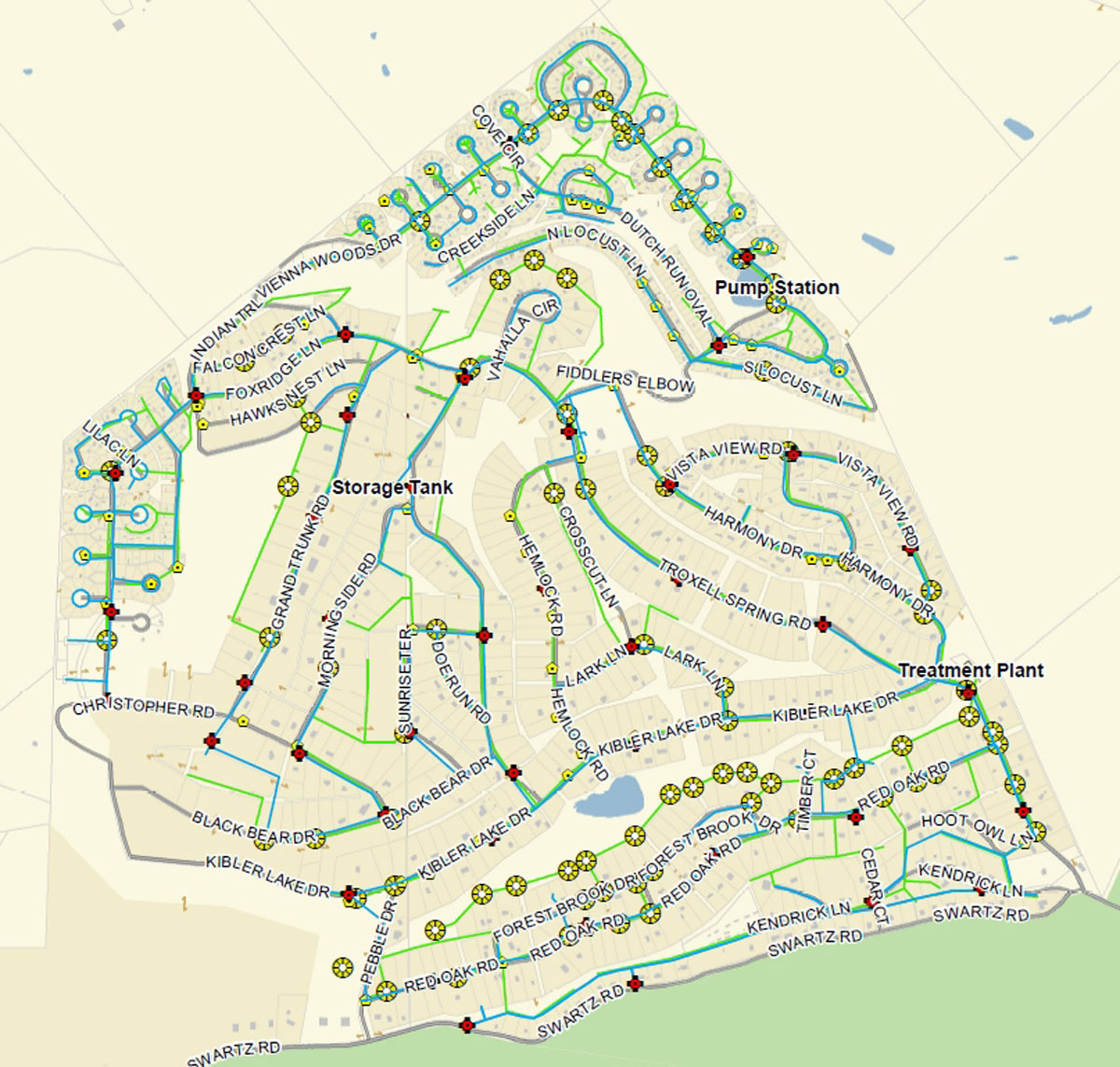
Up-to-date maps are now available to Glendale Valley Municipal Authority field crews, engineers, and customers.
Redlands, California—With maps based on Esri technology, Glendale Valley Municipal Authority is able to quickly locate problems and plan for future renovations, a move that will improve water quality and reduce groundwater infiltration to the sewage system. The company, which serves a growing population of 1,000 customers in the State of Pennsylvania, is taking advantage of Esri's Small Utility Enterprise License Agreement (SU-ELA) program.
Using Esri's geographic information system (GIS) technology, Glendale Valley Municipal Authority has been able to map its existing water and wastewater system. Printed map booklets are now available to field crews, engineers, and customers. The maps are also fostering good communication between the company and the county government GIS department, ensuring both entities' abilities to keep databases current.
"The ELA program allowed us to attain the fully functional GIS software we need at a price that we could afford," said Shawn Kauffman, GIS specialist/web designer for Glendale Valley Municipal Authority. "The program also gives us access to Esri Support Services and the Virtual Campus courses, which proved crucial for me."
Through Esri's Small Utility ELA program, small utilities receive unlimited deployments of Esri's core ArcGIS platform as well as maintenance and support for products, staff training, passes to the Esri International User Conference, and Esri data models. The Small Utility ELA program is open to utilities with 100,000 or fewer meters.
# # #
Press Information:
Jessica Wyland, Esri
Tel.: 909-793-2853, extension 1-3345
E-mail (press only): press@esri.com
General Information: info@esri.com