Esri Releases ArcGIS for INSPIRE
Solution Helps European Union Member States Comply with Spatial Data Infrastructure Legislation
April 29, 2011
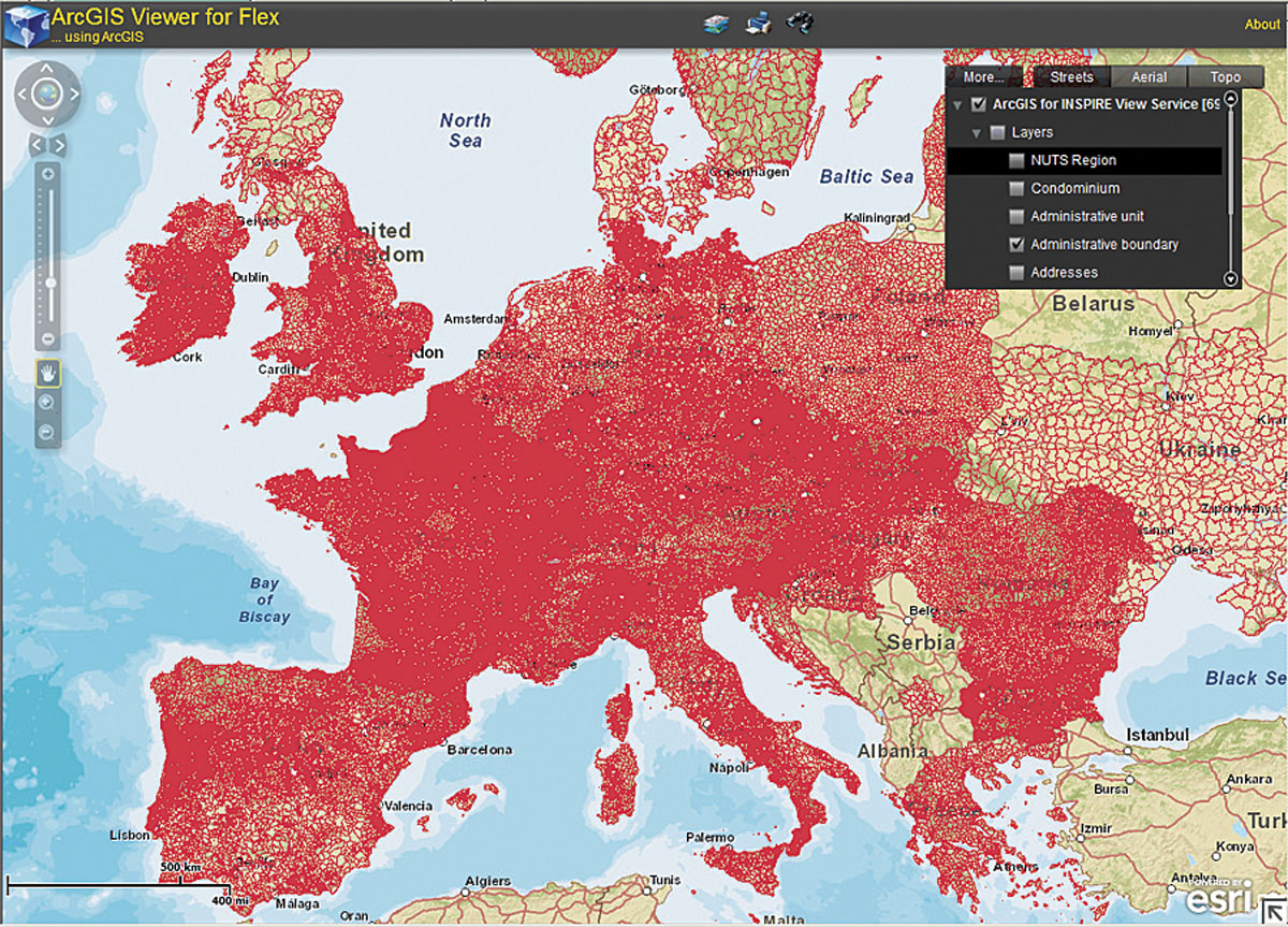
ArcGIS for INSPIRE provides INSPIRE-compliant geospatial information and services across Europe.
Redlands, California—Esri has released ArcGIS for INSPIRE, a product developed to meet the data, services, and metadata requirements of the European Union-mandated Infrastructure for Spatial Information in Europe (INSPIRE). Organizations can use ArcGIS for INSPIRE to achieve the technical requirements necessary to meet this directive and create shareable geospatial information and services to make better decisions across Europe.
"ArcGIS for INSPIRE supports the workflows, as well as the data management, dissemination, and integrity, that are required by INSPIRE," says Roberto Lucchi, ArcGIS for INSPIRE product manager, Esri. "This is a complete technical solution that can be used by all relevant stakeholders including data producers, developers, and the general public."
ArcGIS for INSPIRE extends Esri's ArcGIS software in the following ways to provide a solution for all levels of European government:
- ArcGIS Desktop to create and maintain INSPIRE-compliant geospatial data and metadata
- ArcGIS Server to create, maintain, and serve INSPIRE-compliant view and download web services
- INSPIRE-compliant geodatabase templates and data models
- Esri Geoportal Server to catalog, index, and serve INSPIRE-compliant metadata and discovery services
ArcGIS supports the development of spatial data infrastructures (SDI) with open standards and meets specific INSPIRE requirements for geospatial services, datasets, and metadata. Learn more at esri.com/inspire.
# # #
Press Information:
Karen Richardson, Esri
Tel.: 909-793-2853, extension 1-3491
E-mail (press only): press@esri.com
General Information: info@esri.com