National Land Survey of Iceland to Deploy ArcGIS for INSPIRE
Solution Will Open Access to Data for Improved Governance
June 28, 2011
The National Land Survey of Iceland is adopting ArcGIS for INSPIRE.
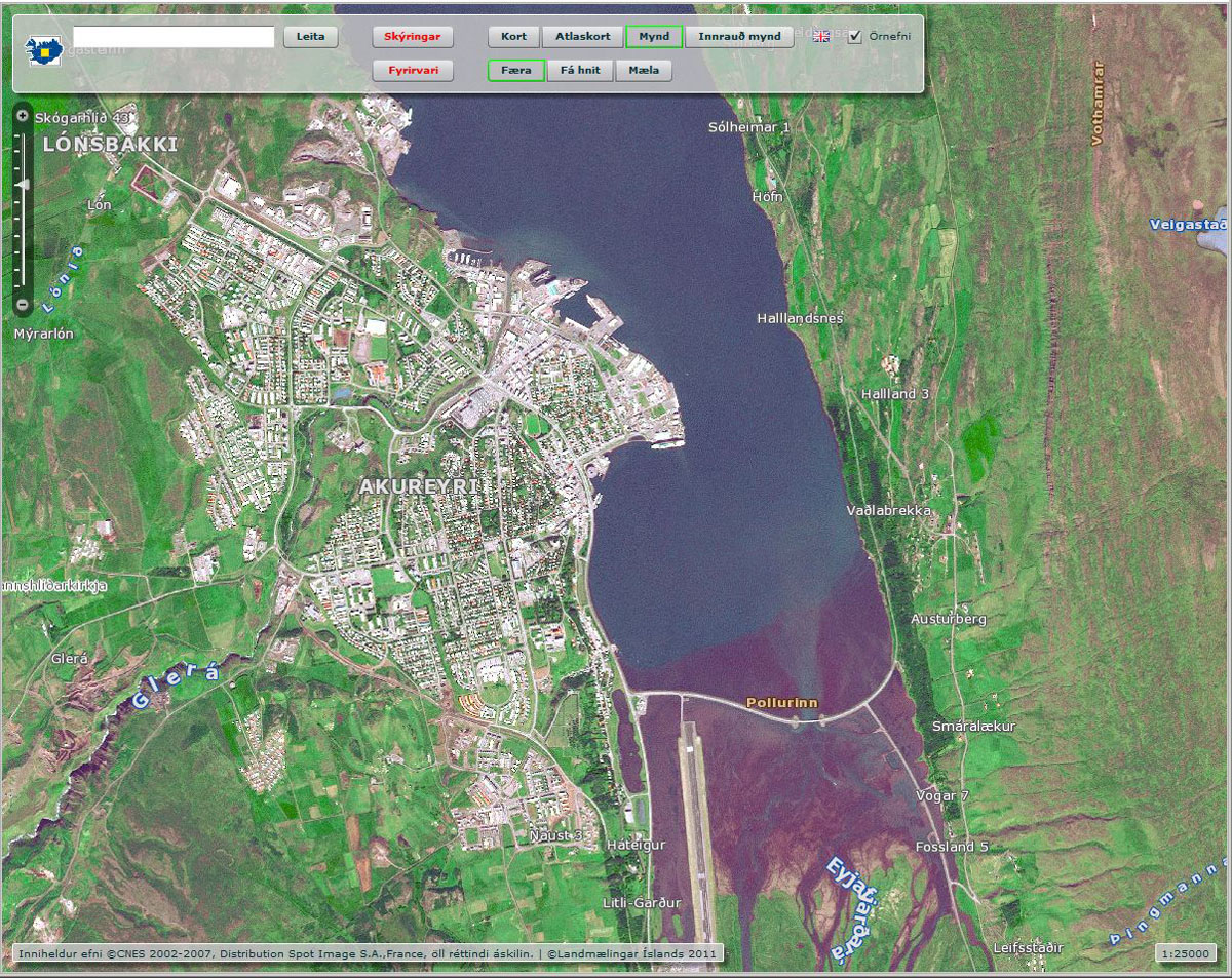
Redlands, California—The National Land Survey of Iceland (NLSI) is implementing Esri's ArcGIS for INSPIRE to meet compliance with the European Union's Infrastructure for Spatial Information in Europe (INSPIRE) Directive. This will ensure that the country's public data is visible and accessible to institutions, companies, and individuals for improved governance.
By recent law, NLSI is the key player for implementing INSPIRE in Iceland. To help meet this directive, Esri's distributor in Iceland, Samsyn ehf., is providing the software and services to the national organization. NLSI has been a client of Samsyn since 1994 and in 2009 signed an enterprise license agreement to implement Esri software throughout the organization. Spatial data has been maintained and made available using Esri's ArcGIS software for many years.
"We believe Esri provides us with the best tools and latest solutions in order to comply with the INSPIRE requirements," said Eydís Líndal Finnbogadóttir, director of service and SDI at NLSI.
ArcGIS for INSPIRE allows NLSI to fulfill the INSPIRE requirements without having to change its processes for creating and maintaining data. ArcGIS for INSPIRE includes tools to transform data into INSPIRE-compliant databases, which can be published with INSPIRE-compliant web services.
"We are excited to assist in this implementation of INSPIRE in Iceland," said Stefan Gudlaugsson, GIS manager at Samsyn. "ArcGIS for INSPIRE will make it easier for our clients to create and maintain INSPIRE-compliant data, metadata, and network services, creating a more robust spatial data infrastructure for the country."
The INSPIRE Directive addresses 34 spatial data themes necessary for environmental applications. These themes are organized into three annexes. ArcGIS for INSPIRE includes data models that comply with INSPIRE Annex I, which is the next milestone required for compliance with the INSPIRE Directive. ArcGIS for INSPIRE will be updated as necessary to include support for Annex II and III data models once they have been finalized.
For more information about ArcGIS for INSPIRE, visit esri.com/inspire.
# # #
Press Information:
Karen Richardson, Esri
Tel.: 909-793-2853, extension 1-3491
E-mail (press only): press@esri.com
General Information: info@esri.com