Esri CityEngine to Be Showcased at INTERGEO 2011
3D Modeling Software Supports GeoDesign and Land Management
September 21, 2011
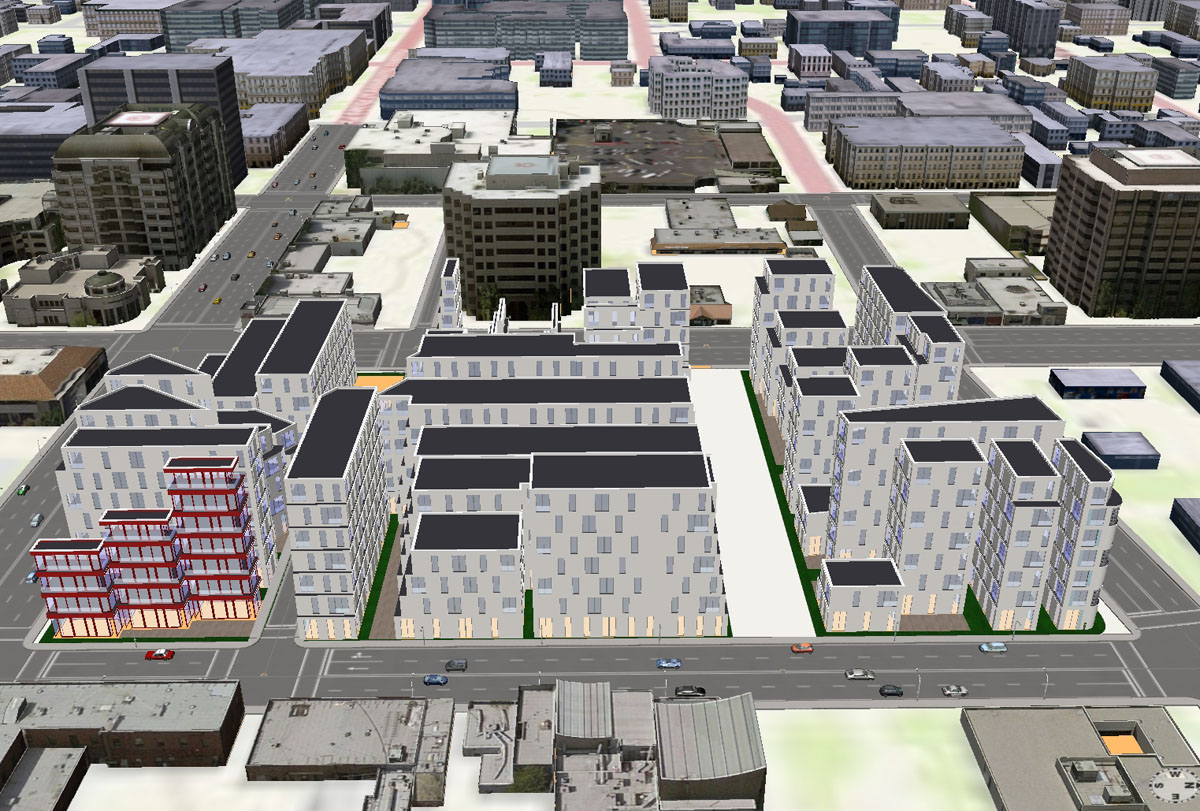
Interactively create 3D urban landscapes with real-world building data.
Redlands, California—Esri will exhibit its software for 3D modeling and urban planning, called Esri CityEngine, at the INTERGEO 2011 Conference in Nuremberg, Germany, which will take place September 27–29. The INTERGEO Conference is one of the largest exhibitions for geodesy, geoinformation, and land management in the world.
Earlier this year, Esri acquired Procedural, maker of CityEngine, to bring easy 3D content creation and design to ArcGIS users. CityEngine will allow ArcGIS users to edit parcel and street data interactively in 3D and quickly change complex building models for immediate design review.
CityEngine is used in urban planning, urban design, defense, simulation, and entertainment to create high-quality 3D content with existing GIS data.
Visit booth #A37 to see a live demo of CityEngine. For more information, visit intergeo.de.
# # #
Press Information:
Matthew DeMeritt, Esri
Tel.: 909-793-2853, extension 1-2930
E-mail (press only): press@esri.com
General Information: info@esri.com