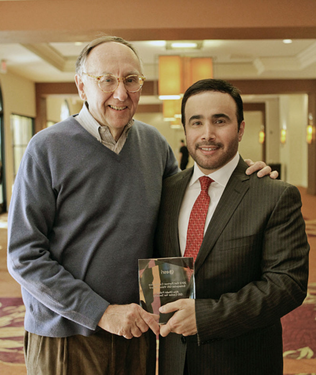
Abu Dhabi Police G.H.Q. Receives Enterprise GIS Vision and Strategic Roadmap Award
Agency Recognized at the 2012 Esri Partner Conference
March 28, 2012
Abu Dhabi Police G.H.Q. receives Enterprise GIS Vision and Strategic Roadmap Award for its innovative use of Esri software.
Redlands, California—The Abu Dhabi Police (ADP) received the prestigious Esri Enterprise GIS Vision Award in recognition of its advanced Esri platform that improves key areas, such as crime prevention, security, and emergency management. The award was presented Tuesday, March 27, at the Esri Partner Conference in Palm Springs, California. The annual Esri Partner Conference brings together global partners and distributors to celebrate their efforts and provide them with the environment to develop the strategies and skills that will extend the value of their businesses.
“Their success is a result of the vision and leadership shown by Major General Ahmed Nasser Al Raisi,” said Jack Dangermond, president, Esri. “The Abu Dhabi Police use GIS to bring together people and processes for making better decisions.”
Abu Dhabi is one of the seven emirates that comprise the United Arab Emirates (UAE) and is also its capital. This city's extraordinarily fast development has naturally led to the typical urban concerns of police agencies everywhere including crime fighting, community safety, and intelligent response, which are global challenges as well.
The ADP Esri GIS enhances numerous capabilities. The approach, plans, and designs were benchmarked worldwide with leading law enforcement GIS implementers to ensure that ADP learns from best practices found elsewhere to provide a new standard for future police information systems.
Enterprise GIS services support police business and geoenable legacy police systems. They help easily find the location of emergency 999 callers, dispatch the nearest responders, and show nearby landmarks like hospitals and critical sites. The agency has dramatically reduced response times and eliminated manual descriptive guidance from the caller. GIS-based maps and analysis also help locate police resources and responders through an automated vehicle location system, allowing command and control (C2) officers to dispatch the nearest responder to the incident location. Responses have become more effective as a consequence of the much improved situational awareness provided to both the C2 officers and police responders. GIS is also used to provide a common operating picture with real-time data mapping related to the decision maker's jurisdiction. GIS services fulfill the needs of ADP stakeholders at all levels.
# # #
Press Information:
Jesse Theodore, Esri
Tel.: 909-793-2853, extension 1-1419
E-mail (press only): press@esri.com
General Information: info@esri.com