Esri Releases National Geographic World Basemap
Highly Detailed Basemap Accessible via ArcGIS Online
January 4, 2012
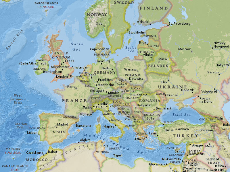
This section of the National Geographic World Map shows Europe at a small scale.
Redlands, California—In cooperation with National Geographic, Esri released the National Geographic World Map. Esri and National Geographic collaborated to produce a distinctive basemap that reflects National Geographic's cartographic design, typographic style, and map policies. Designed to be aesthetically pleasing, the National Geographic World Map is for users who want to display minimal data on a vibrant, highly detailed background. The map is currently available at ArcGIS Online in the basemap gallery.
The new basemap combines a century-old cartographic tradition with the power of GIS technology to produce a distinctive Internet-based map service serving GIS, consumer, education, and mobile users. This new map will be added to Esri's collection of existing basemap services designed for different uses and needs. All Esri basemaps are freely accessible for internal- and external-facing sites.
To access the National Geographic basemap now, visit ArcGIS Online.
# # #
Press Information:
Matthew DeMeritt, Esri
Tel.: 909-793-2853, extension 1-2930
E-mail (press only): press@esri.com
General Information: info@esri.com