US Ambassador Betty King Addresses GIS Conference in Geneva
Keynote Highlights How Geospatial Analysis Is Transforming Global Challenges and Development Opportunities
April 10, 2012
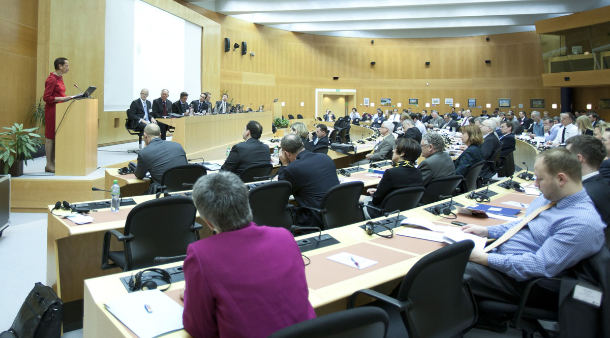
US ambassador Betty King addresses GIS for the UN Conference attendees.
Redlands, California—More than 200 attendees from the United Nations, academic fields, nongovernmental organizations, and the private sector participated in the GIS for the United Nations and the International Community Conference held in Geneva, Switzerland, April 3–5, 2012, at the World Meteorological Organization headquarters. The conference opened with a keynote from Ambassador Betty E. King, the United States' permanent representative to the United Nations Offices in Geneva. Ambassador King spoke on the role of technology and information as a transformative tool empowering local actors to address global challenges and development opportunities.
“On behalf of the US government and President Obama, I applaud your use of technology in your work,” stated Ambassador King. “The world's current resources are insufficient to address all the major global development and humanitarian crises that we face. Through the use of science and technology, including innovative uses of GIS applications, we can become more effective and efficient in this endeavor and stretch the power of limited resources.”
Attendees participated in 10 sessions focused on advancing the use of GIS and spatial analysis for the missions that humanitarian and international agencies commonly undertake. A postconference workshop demonstrated how organizations can collaborate online to create and share hundreds of mission-focused maps using Esri's ArcGIS Online cloud solution.
“I was inspired by the eagerness of the geospatial experts, information workers, and decision makers at this conference,” said Jack Dangermond, Esri president. “Their effort in working together promotes data sharing and transparency. It also encourages greater participation at every level in an organization to find solutions to global problems.”
The United Nations Institute for Training and Research (UNITAR) Operational Satellite Applications Programme (UNOSAT) and Esri jointly organized the conference. Astrium, Esri Suisse SA, GeoEye, and TomTom sponsored the event.
The conference will be held next year and will include humanitarian and development senior executives, practitioners, researchers, nonprofit consortia, and others. To learn more, visit gisfortheun.com.
# # #
About UNITAR/UNOSAT
UNOSAT is a programme of UNITAR that uses specialized skills to perform satellite imagery analysis, design integrated solutions in GIS and geopositioning, and develop the capacity of agencies and counties via training and technical support. UNOSAT is designed to produce concrete output for identified users and beneficiaries by turning technology into concrete and usable applications for UN agencies, member states, and communities in a variety of areas, with prime focus on humanitarian affairs and relief coordination, damage and impact assessment, human security and human rights, and territorial planning and monitoring.
Press Information:
Karen Richardson, Esri
Tel.: 909-793-2853, extension 1-3491
E-mail (press only): press@esri.com
General Information: info@esri.com