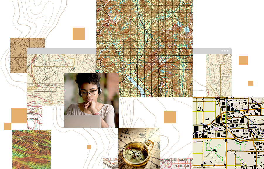
PLTS for ArcGIS
About PLTS for ArcGIS
Evaluate
Foundation
Solutions
Components
Purchase
Resources
 
PLTS for ArcGIS--Solutions for GIS Database and Map Production

Production Line Tool Set (PLTS) for ArcGIS is a collection of turnkey software applications for high-volume database production, maintenance, quality control, cartographic product generation, and workflow management.

The PLTS for ArcGIS solutions are developed for actual Aeronautical, Defense, Mapping Agency, and Nautical production projects by the ESRI Services Production Group, which is ISO 9001:2000 certified. Leveraging a database-centric approach, the solutions provide a highly integrated system that enables efficient geospatial data production and the output of reliable, cost-effective digital data and cartographic products.

Why Use PLTS for ArcGIS?

click to enlarge
  • Efficiently produce geospatial data and cartographic products while adhering to industry-specific production requirements.
  • Single-click editing dramatically cut data editing time for GIS staff.
  • Intelligent attribution tools provide in-process, rule-based quality control.
  • Automated data import and export tools significantly decrease the time required to perform data ingest and delivery.
  • Produce high-quality, high-volume map products and automate map book and atlas creation.
  • Simplify GIS and non-GIS job management and tracking.

Who Uses PLTS for ArcGIS?

PLTS for ArcGIS is used by many organizations to turn standard, static products into a single enterprise-wide database that allows them to serve any number of digital and hard-copy cartographic products. These organizations include

  • Aeronautical
  • Cadastral/Parcel
  • Census
  • Defense
  • Forestry/Natural Resources
  • National Spatial Data Infrastructure
  • Nautical
  • State and local government
  • Topographic

The fundamental architecture of PLTS for ArcGIS gives you the ability to implement your own business rules in data modeling, attribution, validation, and output with PLTS Foundation.

Industry-specific business rules and data models have been built on top of PLTS Foundation to make up each of the PLTS solutions. These commercial off-the-shelf solutions enable your organization to efficiently produce geospatial data while adhering to industry specific production requirements.


Contact Us | Privacy | Legal | Careers