FEMA GeoPlatform Flooding Imagery and Resources
View a list of resources, tools, and geospatial data, from the FEMA GeoPlatform to support recent flooding incidents.

Access flooding data, live feeds, technology, and resources
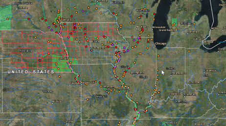
Manage your flooding response with live feeds and sensor data.
This public information map is intended to provide general awareness of flooding around the world.

View agency and industry best practices using geospatial technology for flooding response and recovery.
FEMA GeoPlatform Flooding Imagery and Resources
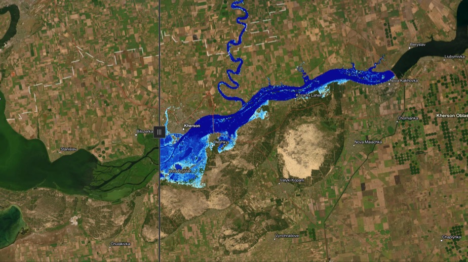
Kakhovka Dam Flooding (data courtesy of ICEYE)
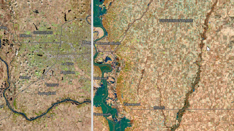
Floods in Nebraska Before (2018) and During (2019)
Examples of Configuring ArcGIS for Flooding
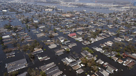
How GIS was used for the Missouri Flood Response
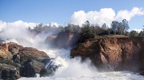
NOAAs Response to California's Epic Winter of 2017
Use this collection of applications, map layers, live data feeds, tools, solutions, and training courses to help plan and manage your flooding response.
Request embedded maps or interview topic experts for your disaster-related editorial features and news stories.
Explore ArcGIS Solutions, incident-specific data, resource catalogs, and live data feeds to support your disaster response.
See how we help organizations maximize impact for people, planet, prosperity, and peace.
If you need GIS software or support for your current disaster response, please request assistance by completing the form. All requests should be fully justified and are subject to approval.