Operations and performance monitoring
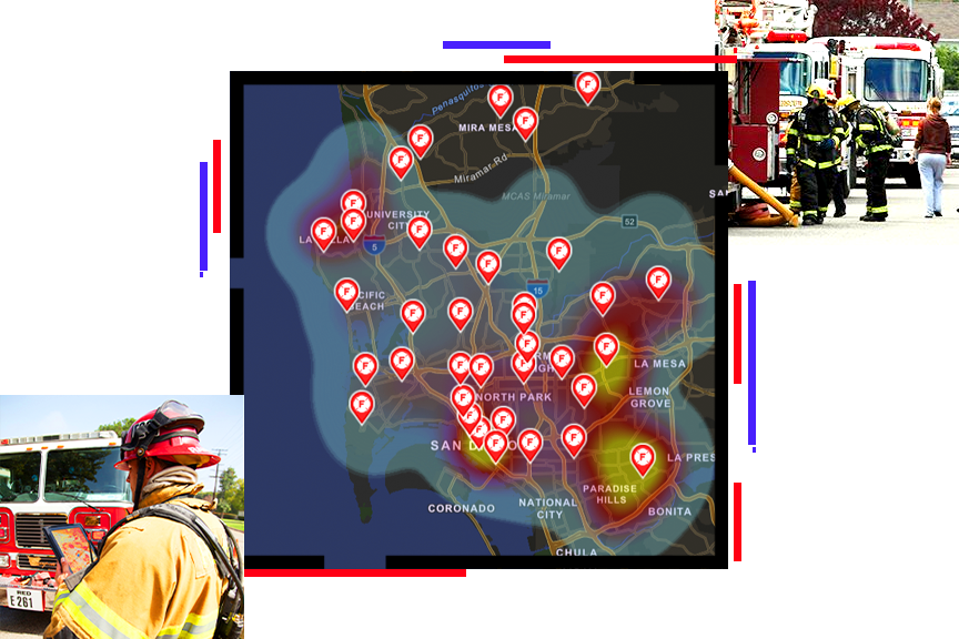
Robust, accurate data analysis is critical for successful operations, especially after a response. GIS provides unparalleled tools for measuring performance and outcomes with rich analysis and visualizations. Collaboration tools simplify communication with stakeholders and decision-makers.
Fire department accreditation
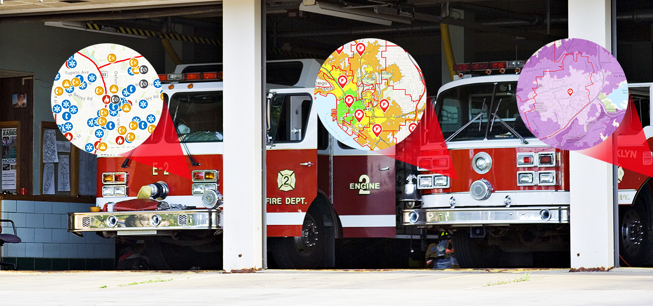
First responders—fire, rescue, and emergency medical services (EMS)—rely on good data to make life-and-death decisions. A GIS-based accreditation process provides a smart, integrated way to ensure the right data is ready when needed. GIS technology delivers a proven way to accurately analyze, measure, and share data before, during, and after an event.
Community risk reduction
Successful emergency operations work across a community to prevent events and mitigate risk. Using field data collection apps and rich data analysis, agencies can successfully pinpoint hazards and design response plans that reduce risk for the community and first responders.
Wildland fire management
As wildfires continue to threaten communities, agencies must adapt to the increasing frequency and intensity. Location intelligence is essential to fighting these fires. GIS delivers location analytics, maps, apps, and reports that strengthen preparedness, response, and recovery.