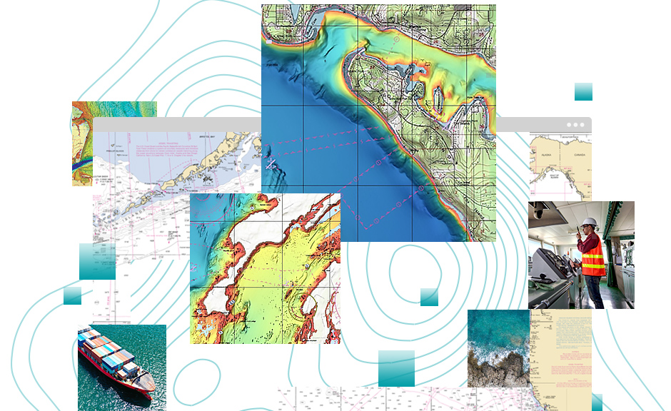
What Do You Get with ArcGIS for Maritime: Charting?
ArcGIS for Maritime: Charting includes tools for chart production, quality control, workflow management, and cartographic product generation. The solution also comes with fully configured INT1 symbology and a sample Product Library to help get you started.
Resources
Access online content, blogs, scripts, downloads, and more, at the ArcGIS Maritime Resource Center.
Maintenance
First-year maintenance is included in the license of ArcGIS for Maritime: Charting. Maintenance includes technical support, updates, and many other benefits.
Licensing
ArcGIS for Maritime: Charting is available as a single- or concurrent-use license for both stand-alone and bundled options. The bundle includes ArcGIS for Desktop Advanced and the ArcGIS Spatial Analyst extension. Use of Esri software is subject to the Esri License Agreement [PDF].
Training and Implementation Packages
If you need ArcGIS for Maritime: Charting training, you have many training options.
- Standard classroom training
- Custom workshop
- On-site implementation and configuration support
- Remote implementation and configuration support
Ask a question.