Land-use land-cover maps are an increasingly important source of information for decision-makers across many industries and land management practices. Agriculture, forestry, insurance, urban planning, environmental conservation, and real estate are among the sectors that benefit most from using these kinds of maps. The insight derived from the maps helps assess risk and inform policy and management decisions by fostering better understanding—and quantifying the potential impacts—of Earth’s natural processes and human activity.
The National Land Cover Database (NLCD) has long been the standard for land-cover mapping in the United States. In 2025, the United States Geological Survey (USGS) announced a major advancement in land-cover mapping when it said it would release the Annual NLCD Collection, a product suite that leverages older methodologies together with modern innovations in geospatial deep learning.
This represents a new era of land-cover mapping for the United States—and the collection is available in ArcGIS Living Atlas of the World.

A Brief History of NLCD
In the late 1980s, the USGS Earth Resources Observation and Science Center began producing greenness maps showing the health and vigor of vegetation. Creating these maps from one-kilometer satellite imagery provided a cost-effective and efficient way to monitor vegetation conditions—and it inspired a new generation of mapping projects.
In the 1990s, USGS partnered with other government agencies to form the Multi-Resolution Land Characteristics consortium. This consortium set out to leverage 30-meter resolution Landsat satellite imagery as the basis for a variety of mapping projects, including NLCD.
In 2000, USGS released NLCD 92, the first comprehensive, national, digital land-cover map. This served as the foundation for subsequent NLCD versions and land-cover change products. Subsequent versions included nine epochs spanning two- to three-year intervals, from 2001 to 2021.

The new Annual NLCD Collection harnesses the full Landsat data record, providing a scientific product suite of land-cover data from 1985 to the present. There are six Annual NLCD science products:
- Land Cover, which shows the physical materials on the Earth’s surface, such as forests, water, and bare soil
- Land Cover Change, which reveals how these physical materials have changed from one year to the next
- Land Cover Confidence, a measure of confidence that the land-cover label matches the training data
- Fractional Impervious Surface, the percentage of surface area in a 30-meter map pixel that is covered with impervious materials, such as buildings or concrete
- Impervious Descriptor, which distinguishes roads from other built surfaces
- Spectral Change Day of Year, which shows the day of the year when a significant change in surface reflectance was detected on a map product
These comprehensive data products are the result of bringing together legacy classification and change algorithms with the latest advancements in AI and machine learning. They run in high-performance computing and cloud-based processing environments.
NLCD Land Cover as a Single, Ready-to-Use Layer
ArcGIS Living Atlas has provided access to NLCD for seven years. Since June 2025, users have had access to all 40 years of the Annual NLCD Collection, from 1985 to 2024, as a single, ready-to-use imagery layer. It is also available in a web mapping app: the NLCD Land Cover Explorer.

Built on ArcGIS Maps SDK for JavaScript, the NLCD Land Cover Explorer further democratizes the data and introduces the Annual NLCD Collection to people who may be less familiar with it. For users of all levels, the app highlights some of the collection’s unique capabilities, including:
- Performing visual change analysis via Animate Mode or Swipe Mode.
- Conducting dynamic statistical change analysis by year, map extent, and land-cover class.
- Filtering map content by selected land-cover class.
- Investigating and validating land cover in Landsat Imagery Mode.
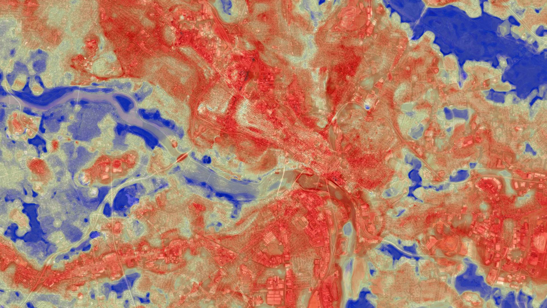
Analyzing change over time is a fundamental way to derive insight from the Annual NLCD data. Leveraging Swipe Mode within the NLCD Land Cover Explorer, for example, makes it easy to see how land has changed over time. As users adjust the geographic and temporal extents of the map, the app dynamically calculates and quantifies the amount of change that has happened.
For users looking to do additional analysis beyond what is available in the NLCD Land Cover Explorer app, the Annual NLCD imagery layer can be used directly in ArcGIS Online. Most imagery layers in ArcGIS Living Atlas are enabled for varying levels of analysis. In fact, NLCD is included in a group of imagery layers that have been optimized for advanced workflows, enabling users to combine them with other data sources and scale up their analysis.