In July 1996, the European Commission adopted a resolution to implement the Trans-European Transport Network (TEN-T). The intent of this multiphased project is to provide coordinated improvements to primary roads, railways, inland waterways, airports, seaports, inland ports, and traffic management systems throughout Europe.
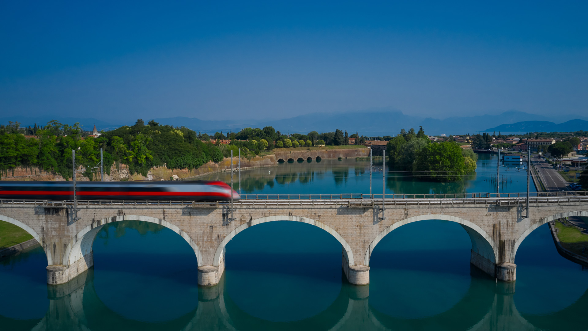
When complete, the Scandinavian–Mediterranean Corridor of the TEN-T project will stretch from Helsinki, Finland, to Valletta, Malta. The Napoli-Bari high-speed railway project in southern Italy is part of this corridor. Initiated in 2015 by the Ferrovie dello Stato (FS) Italiane Group, the government agency responsible for Italy’s railway network, the project now benefits from the use of a GIS-based building information modeling (BIM) workflow.

“We are using it to monitor construction progress and the resources necessary for the project, as well as its impact on the surrounding environment,” said Marcella Faraone, department head of the BIM GIS Competence Center at FSTechnology, part of the FS Italiane Group. “Our plan is to implement the BIM/GIS workflow for all projects in which BIM methodology is used.”
Integrating BIM Models with ArcGIS Technology
At the end of 2018, the FS Italiane Group began constructing two viaducts on the Napoli-Bari railway project to carry the tracks across low ground in two built-up areas. One viaduct is 2,625 feet (800 meters) in length, and the other one measures 1,312.5 feet (400 meters).
To help monitor the construction of the viaducts, as well as the resources going into them, the agency began incrementally implementing BIM 360 from Autodesk. This allows stakeholders to see information about the dimensions of the structures and the details about how long it takes to do planning and development, the costs associated with the projects, the viaducts’ sustainability, their operational lifetimes, and asset management.
An important part of the project, according to Faraone, was testing the proof of concept of FSTechnology’s BIM/GIS workflow. ArcGIS Pro integrates the geometry and parameters, as well as the other construction information contained in the BIM files, and facilitates the geodesign capabilities of the BIM/GIS workflow. It also allows the project design and work status to be published via ArcGIS Online.
“We have determined several advantages in integrating our BIM models with ArcGIS during the construction phase of the project,” said Faraone. “The surveyed and mapped 3D data of the utilities can be used to more efficiently plan the work. During the infrastructure construction, the utility pipes that intersect the infrastructure may need to be encased to avoid structural damage. In order to involve all the stakeholders responsible for the maintenance of the utilities, the 3D buffer tool can help determine the type of utility service that intersects the infrastructure and calculate the length of the pipe to be reinforced. The same data can help find the best place for the construction site that needs to be connected to public water, sewer, and…lighting systems.”
Faraone also noted that the team can come up with a construction plan more effectively by using other types of analysis programs, such as ArcGIS Network Analyst. This helps the FS Italiane Group find alternative routes for things like waste management and goods transport that need to go around the construction. Additionally, because work on the construction site intermittently stops the flow of traffic, the team can use Network Analyst to schedule roadblocks when construction moves across traffic lanes.
Drone Imagery Helps Monitor Construction Progress
Fundamental to FSTechnology’s new BIM/GIS workflow is the use of drone-captured imagery.
“The drone uses a 3D laser scanner to provide high-resolution and geoaccurate imagery of the site and the surrounding environment,” explained Faraone.
The dataset that’s collected can then be used to assess the site’s progress over time and better manage resources such as vehicles and equipment. It is also used to measure cut and fill volumes (when the earth gets moved from one location to another) and record poor waste management practices.
“Surveying a project in this manner also provides an efficient method to inspect the execution of the work without the safety challenges involved in physically inspecting it,” Faraone added.

The drone collects data in a LAS file, the industry-standard binary format for storing airborne lidar point cloud data. The file contains large collections of 3D elevation points, which include x-, y-, and z-values along with additional attributes such as GPS time stamps. This data is integrated into ArcGIS.
“The 3D point cloud surveys collected with the drones are compared with our BIM models so that we can monitor construction progress,” said Faraone. “We use Autodesk’s Navisworks to compare the point cloud with the BIM model. With its clash detection functionality, we can compare the difference between the planned construction and the actual work in progress.”
To process the point cloud so it can be compared with the BIM model, the team reduces the size of the point clouds to contain only the necessary points and data and then combines different point clouds to obtain the entire model of the project. Sometimes the team has to transform point clouds into surface models or 3D objects, and staff often create digital elevation model (DEM), digital surface model (DSM), or raster RGB (red, green, blue) files as part of this process. Then details, like color, are added. The team can also make digital skins of the construction and add that to the 3D model created from the point cloud to make it look more realistic.
FSTechnology has also used artificial intelligence (AI) to set up a system that automatically detects some key parts of the project within the point clouds to allow for a better comparison with the BIM model. In addition, the team is developing an application to automatically identify workers and construction equipment on the work site for logistical purposes.
Completely Interoperable Data
The advantages of using a BIM/GIS workflow—from reducing errors to mitigating risk—has been demonstrated for vertical construction projects. For FSTechnology, this viaduct project helped determine how it can achieve the same benefits for linear infrastructure projects.
The team developed a workflow that allowed for the complete interoperability of data between BIM and GIS for project life cycle management.
“The key difference is that, for linear infrastructure, it is essential to automate the modeling of the project elements along its alignment to avoid manually reworking some of the construction elements due to project variations,” Faraone concluded.