The geospatial technology field is entering a pivotal moment—one that may prove as consequential as the arrival of digital mapping, satellite imagery, and web GIS. While AI is advancing at extraordinary speed, its greatest impact will come from fusing it with the work GIS professionals do every day: modeling place, understanding relationships, and translating complex systems into actionable knowledge.
For decades, GIS has been the framework for understanding Earth’s physical, ecological, social, and economic systems. Now, as AI is interlaced with geospatial workflows, GIS is being transformed from a system of record and analysis into a system of prediction, simulation, and real-time decision support.
This shift is not abstract. It is already reshaping how organizations manage risk, plan infrastructure, protect ecosystems, and respond to crises.
Geography Gives AI Context
AI can process information at unprecedented scale—but geography gives that information meaning. Spatial context is what turns raw data into understanding.
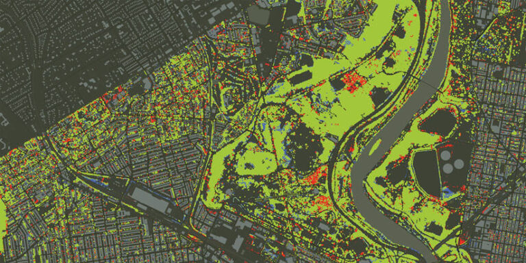
GIS professionals know this intuitively. They’ve experienced how location integrates disparate datasets into a coherent model. They’ve seen spatial data unearth interactions that weren’t obvious in tabular data. They use maps daily to communicate complexity with clarity and immediacy.
When AI is applied to this geographic foundation, it amplifies what GIS already does well. It helps detect patterns across massive collections of imagery, automate feature extraction, model system behavior, and generate predictions that support more resilient planning.
Without geography, AI produces answers that may be technically correct but contextually wrong. With GIS, AI becomes grounded—aligned with the real world and the communities GIS professionals serve.
From Crisis Response to Resilience Planning
When the Kakhovka Dam in Ukraine collapsed in 2023, 1.4 million acres of farmland lost irrigation overnight, triggering a regional food crisis. The Food and Agriculture Organization of the United Nations used GIS-based surveys, enhanced with AI, to map inundation, assess irrigation loss, and model downstream food insecurity.
GIS provided the spatial framework. Mapping made the crisis visible. And AI accelerated the analysis, reducing the time required from weeks to hours.
Across industries, GIS teams are integrating AI into spatial workflows to support long-term resilience planning. Retailers and communications providers are mapping their facilities against climate projections—for floods, extreme heat, and wildfire risk—to understand which assets face considerable exposure over the next 5–20 years. Utilities are using AI-enhanced imagery analysis to detect vegetation encroachment and prioritize maintenance. Cities are modeling heat islands, mobility patterns, and infrastructure vulnerabilities to guide equitable investment.
In each case, GIS provides the authoritative spatial model, and AI accelerates the work—automating classification, generating predictions, and surfacing patterns that inform strategic decisions. This is the emerging pattern: geospatial professionals build systems in which AI augments—but doesn’t replace—human judgment. The final decision remains human. AI can process and GIS can illuminate, but only people can decide what to do.
The Skills That Will Define the Next Decade
As AI becomes embedded in geospatial tools, the role of GIS professionals is expanding, not shrinking. The most valuable skills in the coming decade will combine technical fluency with geographic thinking: understanding the spatial structure of problems, designing data models that reflect real-world systems, evaluating AI outputs with scientific rigor, asking good questions to generate useful answers, and communicating insights clearly to decision-makers.
These are all skills that GIS professionals already practice. The growth of AI simply makes them more essential.
A More Intelligent, Responsible Future
The future worth pursuing is one in which AI’s processing power and GIS’s geographic understanding strengthen human judgment. In this future, geospatial professionals use these complementary tools to build more resilient communities, protect ecosystems, manage infrastructure responsibly, and support decisions that balance efficiency with equity.
This future is attainable. But it requires intention, collaboration, and a commitment to the values that have always guided our field: scientific integrity, clarity, and service to society.
GIS professionals are uniquely positioned to lead this next chapter. Together, we can create a more intelligent and more responsible world.
