Welcome to the new ArcNews. This isn’t the tabloid-sized magazine you’re probably used to, but it’s the same quarterly publication, just with a new look and new stories for a wider GIS audience.
For 28 years, Esri published two magazines for distinct groups within the geospatial community: ArcNews, for GIS users of all experience levels; and ArcUser, for GIS power users, managers, and developers. As GIS has evolved from a niche technology into an enterprise necessity, the line between these audiences has blurred.
ArcNews now aims to speak to this broader readership, keeping the entire GIS community connected, informed, driven, and inspired throughout each year.
The magazine’s core remains the same. The News, Your Work, and GIS People sections contain stories about innovative uses of GIS technology and articles from prominent industry voices. Four additional sections allow ArcNews to fulfill its expanded mission. Toolbox is where you’ll find product announcements and tutorials. Developer’s Corner highlights developer-centric news, capabilities, and ideas. Manager’s Handbook speaks directly to GIS managers—about how to promote geospatial technology to decision-makers and lead GIS teams. And Esri Atlas includes information about Esri events, new training opportunities, books from Esri Press, and more.
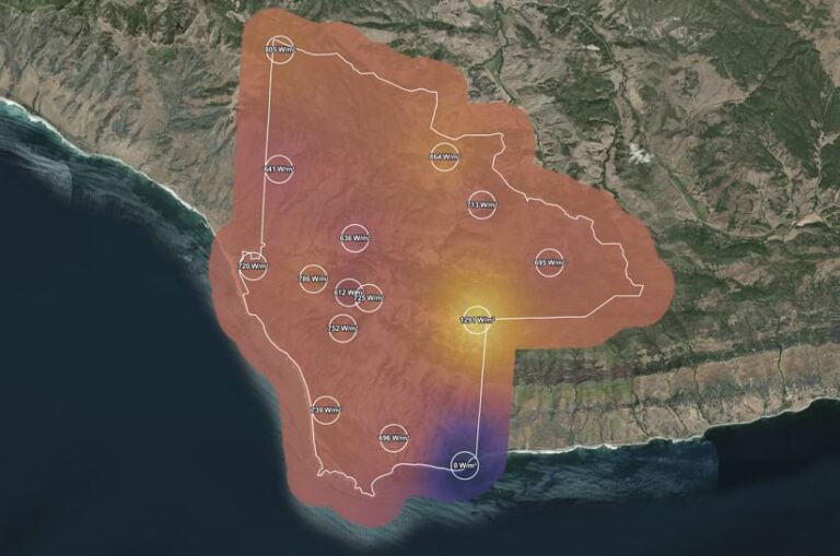
This issue is full of ideas that unify people, places, data, and systems. You’ll get to explore the Sites Navigator app from the United Nations Educational, Scientific and Cultural Organization (UNESCO) that shows World Heritage sites, Biosphere Reserves, and Global Geoparks together, in one interactive view that reveals both opportunities and vulnerabilities. You’ll be among the first to hear about OpenPlanMap, which will weave together planning data from around the world to encourage balance and coordination; the Luna Initiative, which incentivizes environmental scientists to explore riskier ideas; and a new digital twin of the Jack and Laura Dangermond Preserve that allows conservationists to test solutions before deploying them in the real world. You’ll also meet University of Auckland PhD researcher Haukapuanui Vercoe, who grounds his engineering work not just in geography but also in Māori history and culture.
Several articles can help you hone the work you already do. Find out how to choose the right user types for your organization, automate specific workflows and tasks, and use AI to convert previously inaccessible information into geographic insight. Finally, put your work into context by reading Esri president Jack Dangermond’s message to you—the geospatial professionals who give him hope for the future.
From everyone who worked on this issue, we hope you find these articles useful and thought-provoking. We’re glad to be part of the same community.