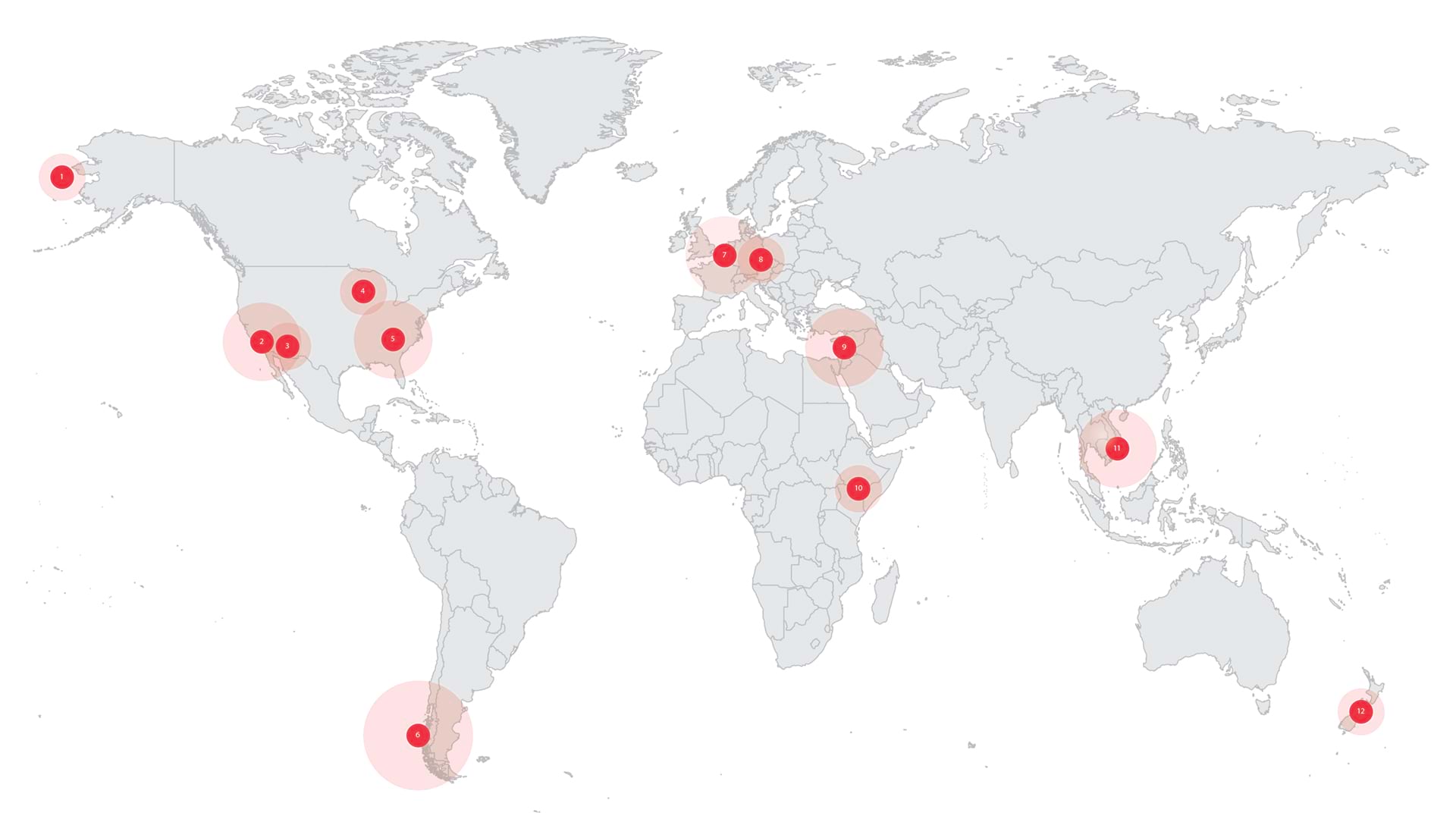
1. About Time
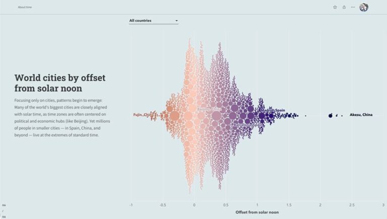
Time zones are necessary in the modern world. But sometimes they subvert our understanding of time itself. Explore the geography of time in this ArcGIS StoryMaps story.
2. For the Largest Sporting Events on Earth, Public Health Goes Live
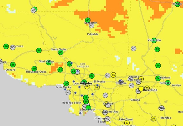
Facing back-to-back global events—the 2026 FIFA World Cup and the 2028 Olympic and Paralympic Games—Los Angeles County’s Department of Public Health replaced static reports with live maps of public health data.
3. One Security Leader’s Journey from the Air Force to Amazon
Michelle Riter has used GIS to detect threats to the US armed forces—and to Amazon’s supply chain. Get an inside look at the world of operations security.

4. Visualize the Most Dangerous US Intersections
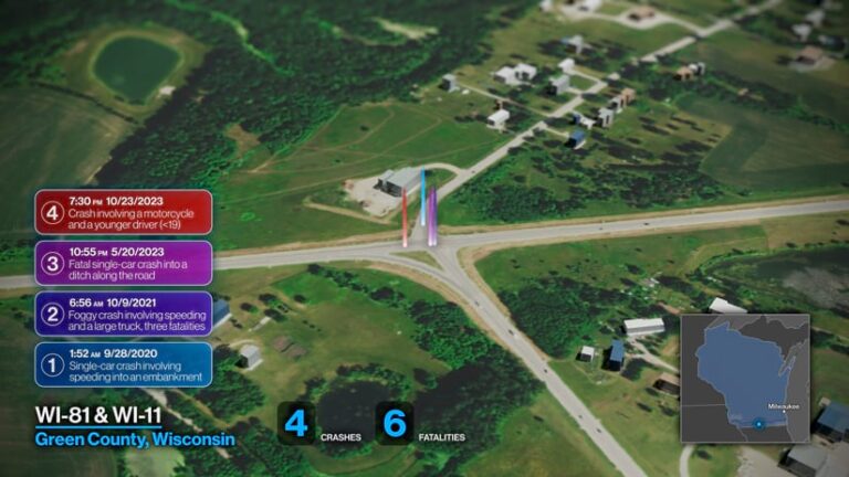
Some intersections see more fatal crashes than others. This animated 3D map uses data from the Fatality Analysis Reporting System to highlight the 15 deadliest intersections in the United States between 2019 and 2023.
5. Splats Bring a Stadium to Life
What happens when 70,000 drone images meet Gaussian splatting? Facilities staff and students at Clemson University get a photorealistic digital twin of its famed football stadium.

6. Animals on the Move
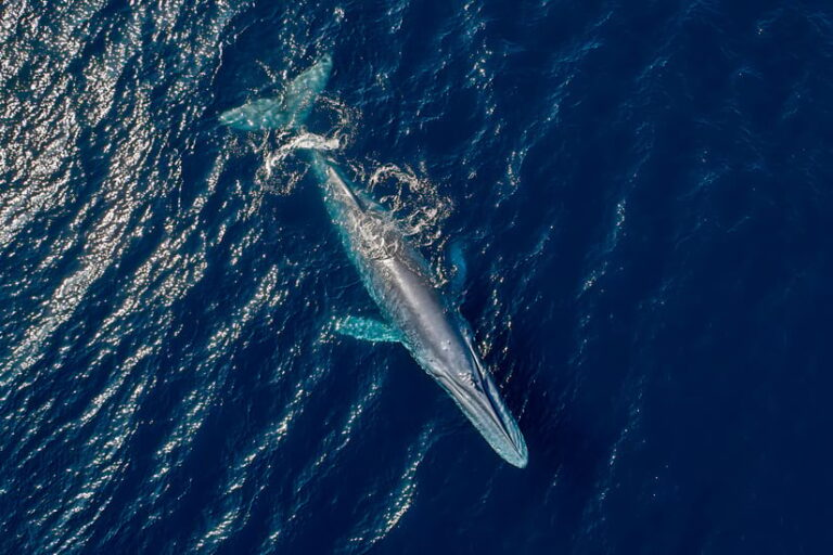
Migratory species face new obstacles in a rapidly changing world. Blue whales travel thousands of miles between their cold-water feeding grounds and warm-water breeding areas—but shipping traffic now poses a threat to their remarkable migration.
7. How NATO Developed a Spatial Thinking Culture
At the North Atlantic Treaty Organization’s headquarters, one leader’s determination to elevate GIS to a mission-critical capability reshaped how the alliance of 32 nations understands its world.

8. Where Music Meets Geography
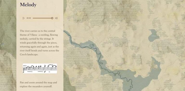
Experience each curve and current of Czechia’s Vltava River through Czech composer Bedřich Smetana’s song Vltava (or The Moldau). Composed in 1874, the piece tracks the river’s flow from the Bohemian countryside to Prague—and this ArcGIS StoryMaps story puts the masterpiece in its historical and geographic context.
9. How to House and Care for 1 Million Displaced People
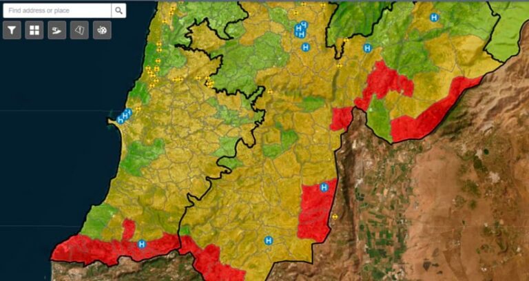
As successive emergencies unfolded—each one bigger than the last—Lebanese organizations banded together to build a unified displacement-tracking platform. When conflict displaced over a million people, the platform showed where shelter, medical teams, and supplies were needed first.
10. Be Bold in Pursuit of Better
The 2026 ArcGIS StoryMaps Competition is open through December 11. Show how you use GIS to see what others miss, prepare your community for what’s next, and ignite change. Learn how Azah Yamin, last year’s winner in the People category, composes stories that flow, and get inspiration from a 2025 competition finalist by scrolling through Grevy’s Zebra Trust: Healthy Rangelands Program.

11. Where a Digital Twin Makes Waves
Vietnam, a growing hub for manufacturing, wants to double its cargo capacity by 2030. To do this, Portcoast is reimagining operations with help from a digital twin.

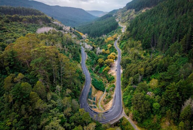
12. Cloud-Native GIS Takes the Wheel
When rain pounded New Zealand in 2023, costing 11 lives and billions in damage, NZ Transport Agency Waka Kotahi’s cloud-native GIS delivered. Within hours, the agency stood up a central geospatial capability with ArcGIS Enterprise on Kubernetes to capture data and provide situational awareness. Today, the platform is a single system of engagement for spatial data.