The International Cartographic Association (ICA) was fortunate to have held the 30th International Cartographic Conference (ICC) in Florence, Italy, in mid-December, just before the omicron variant of COVID-19 spread rapidly around the world. The highly successful hybrid event saw 630 registrants from 53 countries—half of whom enjoyed the in-person company of colleagues at several Renaissance-era locations, all anchored to the main conference venue at the University of Florence’s School of Humanities. Virtual participants were able to actively engage with and present in all the sessions, too.
Immediately preceding the ICC, 15 ICA commissions hosted workshops on various topics for anyone interested in getting involved. These workshops offered a glimpse into the diversity of the ICA’s work. Themes included cartography and geospatial education in the classroom and the cloud, geospatial approaches for combating COVID-19, map generalization and multiple representation, historical cartography, and map design for atlases. These events were hybrid as well, allowing remote presentations and participation, and provoked excitement about the interesting, fun, and important work of the ICA before the ICC began.

During the opening ceremony for the ICC, Dr. Peter Gluckman, president of the International Science Council, reminded cartographers how important it is to integrate the physical, biological, environmental, social, and economic data sciences. This is something that cartography does very well, given its ability to illustrate the complex world we live in. But Gluckman offered a note of caution, pointing out that science has never been contested in some of the ways it’s being challenged now and reminding everyone that governments do better when science is used effectively. Thus, science needs to be more actionable, which is something cartographers can—and should—help with.
The ICA recognized two outstanding cartographers for their contributions to the field during the opening ceremony at the Palazzo Vecchio. Professor Ulrich Freitag from Germany and Dr. Alan MacEachren from the United States both received the ICA’s highest award, the Carl Mannerfelt Gold Medal. Freitag, in his early work, advanced cartography as a communication medium and later proved that cartography developed as a valid scientific discipline. MacEachren is a pioneer of real-time exploratory analysis and visualizing geographic datasets, which now influences interactive, online, and mobile media. The ICA hasn’t presented this prestigious award since 2013.
After the opening ceremony, a rich scientific program ensued. The ICC held 563 presentations with 80 sessions interspersed among 2 keynote speeches and 4 special sessions on topics that ranged from cartography in the age of digital transformation to the importance of national mapping and geospatial agencies in contributing to global and national priorities. Participants were able to attend sessions on storytelling in interactive atlases, spatial thinking in teaching cartography to schoolchildren, mapping autistic wayfinding, using cartographic and archival material to approach local history, machine learning methods for automatic mapping, developing cartographic terminology in African languages, cartography and the Sustainable Development Goals, and many more topics.
Abstracts and papers from the ICC are available in different publications. The number of high-quality papers received prompted the ICA to publish two special editions of the International Journal of Cartography: Volume 7, Issue 3, and Volume 8, Issue 1. The remaining papers and abstracts are available on the ICA website.

To celebrate the achievements of organizations and individuals that have made recent contributions to the field of cartography, the ICC convenes the International Cartographic Exhibition (ICE). This is an opportunity for member nations and affiliate members of the ICA to exhibit their best cartographic work. This year’s ICE was hosted by the Italian Geographic Military Institute. A panel of expert judges evaluated the entries, and three levels of winners were determined. Additionally, members of the public can vote for their choice of best product, which encompasses a separate award in each category.
The array of cartographic visualizations presented at the ICE included 271 maps and charts, 33 atlases, 58 digital cartographic products and services, and a special category of 22 cartographic educational products. Twenty-six additional entries were displayed that represented other types of cartographic products, from woodcut maps to games with maps. And the hybrid nature of the event enabled participants to take part in the ICE remotely. A comprehensive, 391-page catalog that describes each submission alongside an accompanying graphic can be found on the ICA website. Example graphics of the winners’ entries are also available on the President’s Blog.
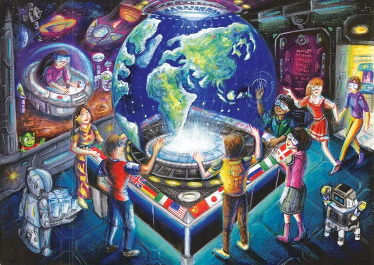
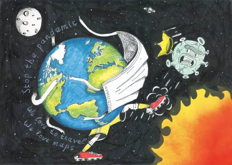
A highlight of each ICC is the Barbara Petchenik Children’s World Map Drawing Competition. The theme for this year was A Map of My Future World. Children from 38 countries entered 178 drawings into the competition, and all the artistic renderings were displayed in Florence. The ICC then conferred 12 awards—plus 1 for creativity and 1 public award—to participants in four age categories. The children who participated give us a lens through which to better understand their concerns and opportunities. Examples of the entries, which I encourage everyone to look at, are available on the ICA website.
During the closing ceremony, the ICA awarded three people the ICA Honorary Fellowship. Professors Georg Gartner, Lysandros Tsoulos, and Vladimir Tikunov were recognized for their long-standing contributions to the ICA. Diplomas for outstanding service to the ICA were awarded to three ICC members of the local organizing committee: Paola Zamperlin, Margherita Azzari, and Gilberto Fumarola. Manuela Schmidt also received a diploma for her contributions to managing the ICA website.
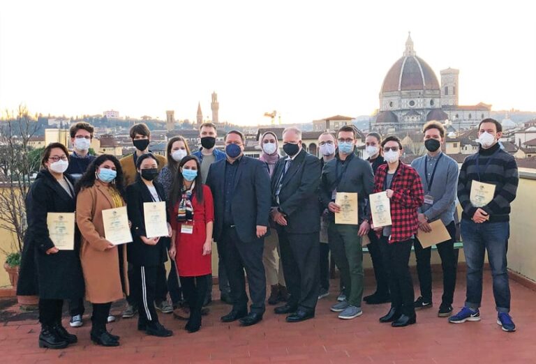
The ICA recognizes the importance of investing in the future of cartography and geoscience as scientific disciplines. In addition to opportunities like the ICC and various publication streams, the organization offers scholarships to young scientists to invest in the future. In a separate ceremony, 27 individuals were awarded ICA scholarships to the 30th ICC. It was rewarding to experience the recipients’ excitement, gratitude, and refreshing views and ideas.

The ICC brings together so many colleagues who, in addition to attending informative presentations, enjoy gathering with friends and acquaintances at coffee breaks and meals. The event also allows the ICA to engage with sister societies; advance collaborations with organizations such as the United Nations (UN), the International Hydrographic Organization, and the International Map Industry Association; and strengthen its commitment to members like the country of Switzerland, national mapping organizations, and companies including Esri.
And the splendor of Florence—the seat of the Renaissance—was an ideal setting for an international cartography conference. While the scientific program advanced interest in and understanding of cartography and GIScience, the city’s streets, buildings, and art drew attendees into the area’s fabulous history and culture. One of the many architectural highlights was the gala dinner held at the Palazzo Borghese.
The last act of the ICC was the closing ceremony. This is where individuals and exhibitors received their awards, and the winners of the orienteering competition were recognized. The host of the 31st ICC then gave an enticing presentation inviting everyone to Cape Town, South Africa, for the next conference in August 2023. At the end of the event, the Florence hosts handed the ICA flag over to a representative for South Africa. And as we bid Florence farewell, we know we have a lot to look forward to at the next ICC in Cape Town.
For more details about the ICC, along with photographs from the various events, visit the ICA website.


