Angling for Interdepartmental Success
The Iowa Department of Natural Resources has combined their mapping tools for Iowa anglers into a single interactive web mapping app.
The Iowa Department of Natural Resources has combined their mapping tools for Iowa anglers into a single interactive web mapping app.
At Swiss National Park, an enterprise-wide GIS aids with operations, infrastructure planning, flora and fauna monitoring, and more.
A product called Appia helps companies incorporate construction contract activities into their maps and dashboards.
Endangered species in a South Africa province are protected with the help of ArcGIS Survey123 and ArcGIS Field Maps.
ArcGIS Maritime now integrates with ArcGIS Field Maps, taking Electronic Navigation Chart production out of the office and onto the water.
Sightsavers, an Esri Nonprofit Program participant, is using GIS to fight infection-based vision loss.
California’s Napa County helps prevent the spread of exotic pests in commercial agriculture by using ArcGIS Field Maps.
Discover how ArcGIS Field Maps helped improve butterfly conservation efforts in Yamhill County, Oregon.
Esri partner Meshek & Associates employs ArcGIS technology to help communities with their water, sewer, and emergency management needs.
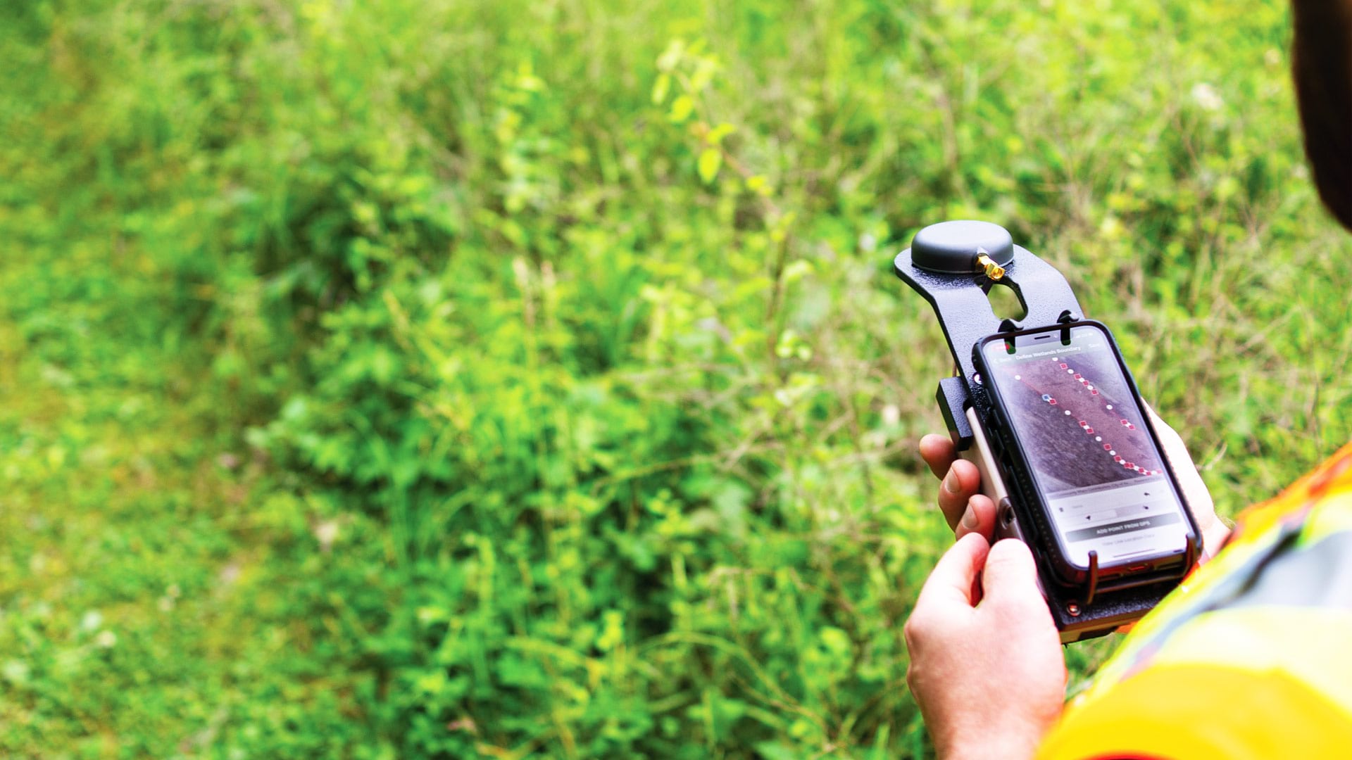
Ecobot’s GIS-based platform helps environmental scientists efficiently collect data on the natural environment surrounding a project.
Recent updates boost organizational efficiency, give mobile workers new field capabilities, and support integration with other technology.
While searching for the four-year-old girl and her dog in a rural area, the massive search party relied on real-time GIS to track progress.