How the Asia-Pacific Region Is Taking Climate Action
For disaster-prone nations, spatial analysis and effective data sharing are crucial for climate mitigation, adaptation, and resilience.
For disaster-prone nations, spatial analysis and effective data sharing are crucial for climate mitigation, adaptation, and resilience.
Data and GIS can be used to map solutions’ relative suitability, impacts in different locations, feasibility, and costs.
Using satellite imagery and AI, Permafrost Pathways is mapping permafrost and greenhouse gas emissions across the Arctic for the first time.
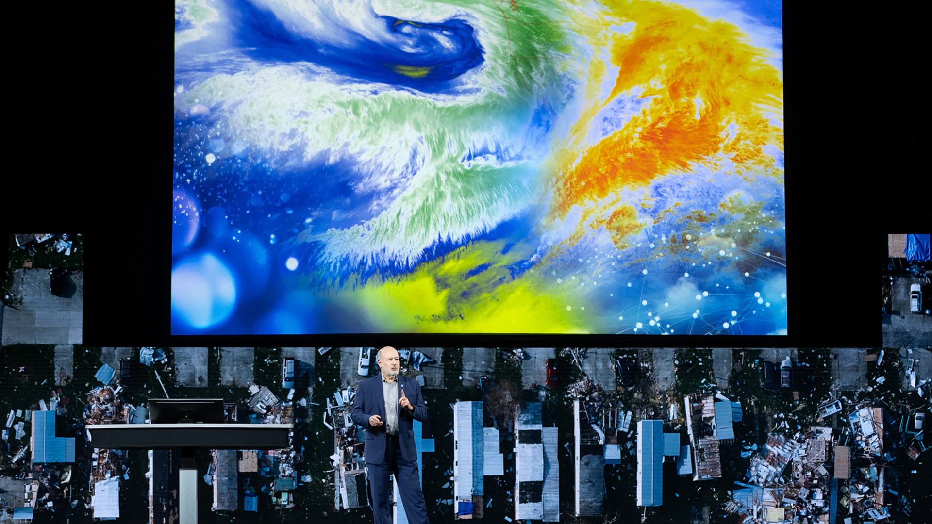
At the 2024 Esri User Conference, trailblazing users and organizations gathered to show how they use GIS to serve their communities.
Esri is actively involved in a multitude of climate-related activities, including massive online open courses.
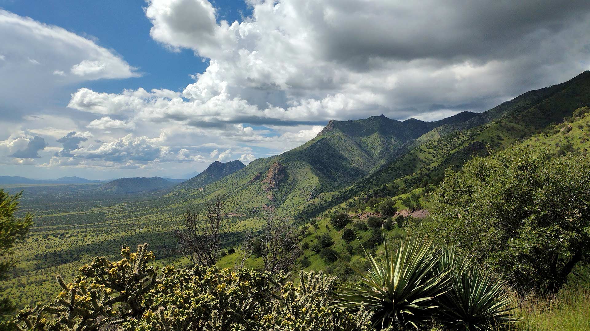
ArcGIS Image for ArcGIS Online helps scientists track land subsidence in Arizona’s Willcox Groundwater Basin.
With humanity at an inflection point, we must choose to stand up and create a sustainable future.
With GIS, the University of Minnesota is helping Minnesota counties follow the United Nations' 17 Sustainable Development Goals.
URISA supports climate resilience and addressing climate change impacts through geospatial solutions, workshops, and resources.
The 2023 Esri User Conference showed that GIS professionals understand the world’s interconnectedness and know how to tackle big challenges.
Join Esri Academy’s free online course and learn how GIS can be a powerful tool for combating climate change.
By using established metrics and the latest geospatial technology to monitor progress, it is possible to curtail biodiversity loss.