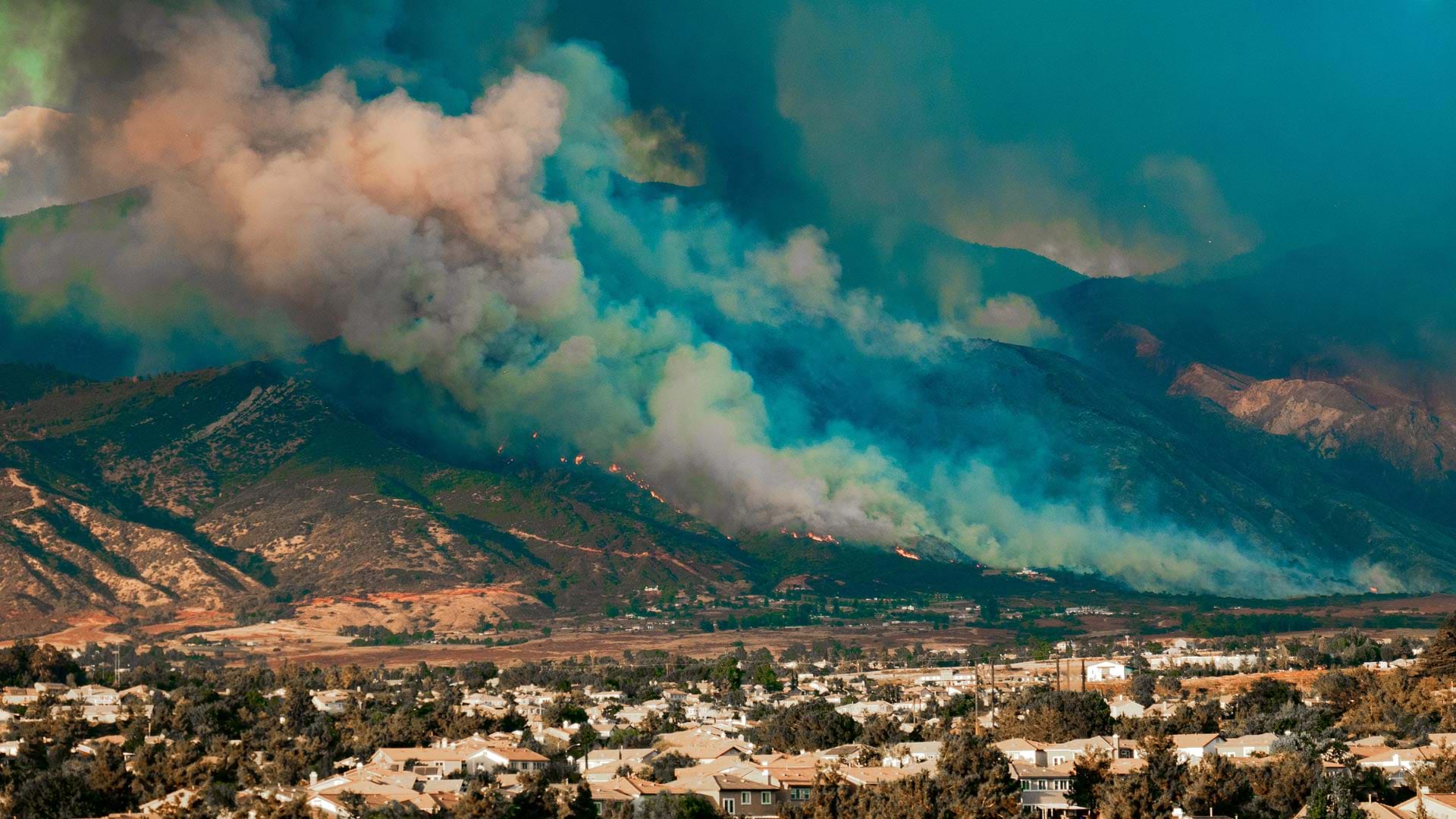
ArcGIS Technology Bolsters Community Wildfire Protection Plans
ArcGIS Field Maps, ArcGIS Experience Builder, ArcGIS Hub, and more help community members get more engaged in wildfire risk mitigation.
ArcGIS Field Maps, ArcGIS Experience Builder, ArcGIS Hub, and more help community members get more engaged in wildfire risk mitigation.
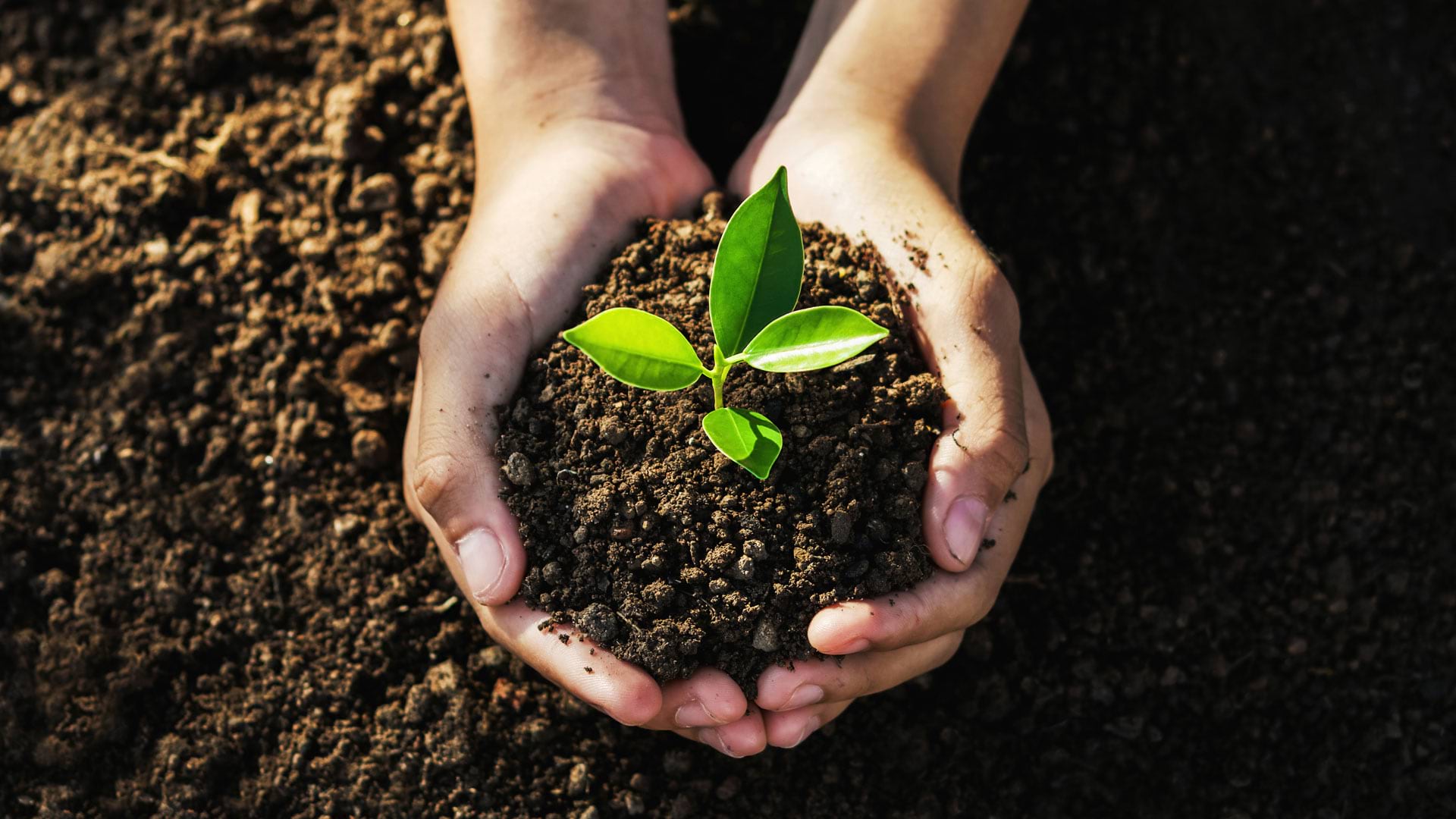
Students in the 2982 Miles to Go Program used Esri’s racial equity and social justice tutorials to learn GIS and improve their communities.
Staff at Marion County Public Works set up an ArcGIS Hub site to engage with the community and spotlight ongoing sustainability initiatives.
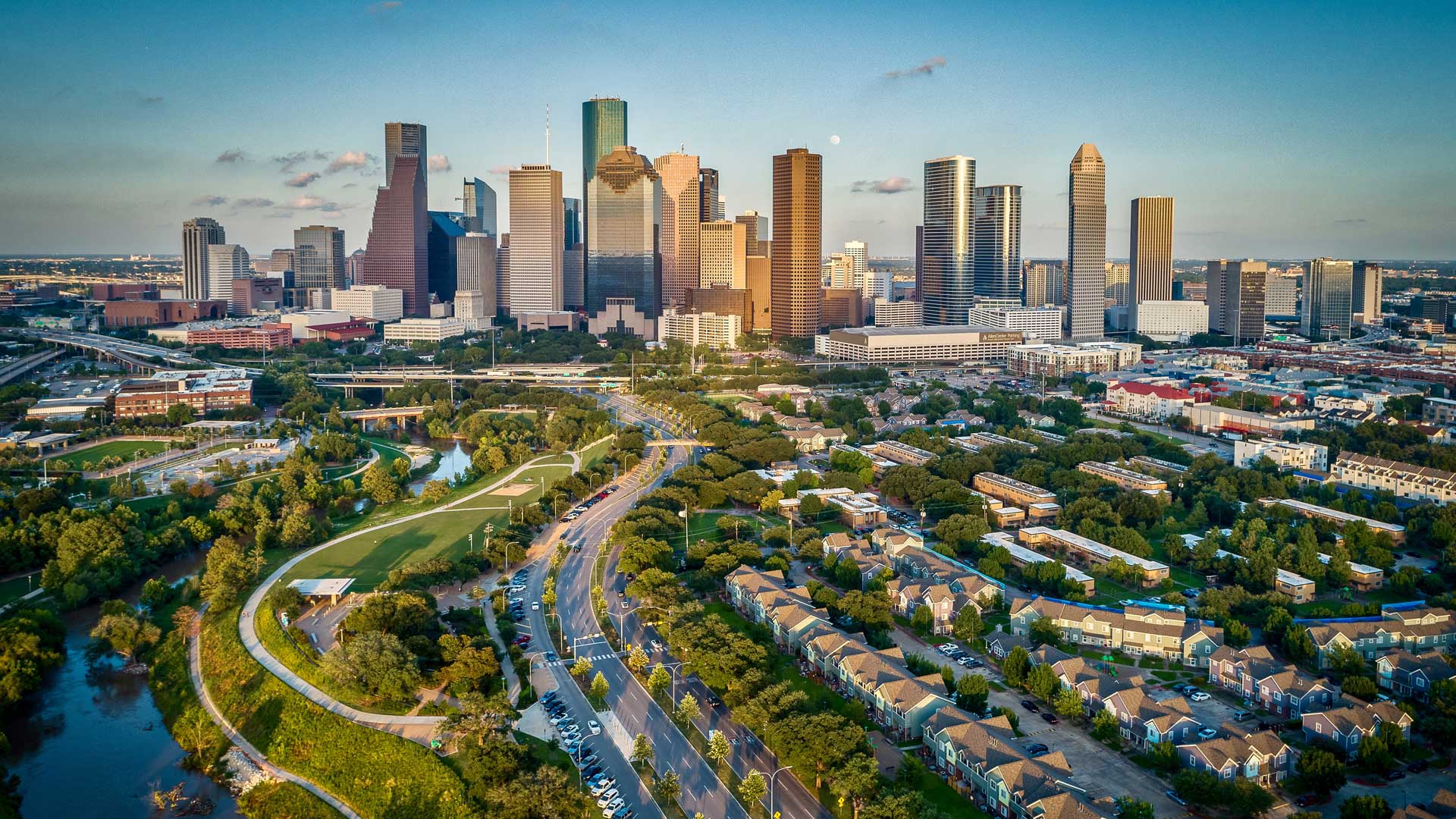
To show stakeholders what proposed developments would look like in context, Houston implemented 3D GIS. The result is increased engagement.
Esri partners facilitate and streamline workflows and management of a variety of community management projects.
Leaders have instituted a geographic approach to implementing, monitoring, and analyzing USAID activities throughout the country.
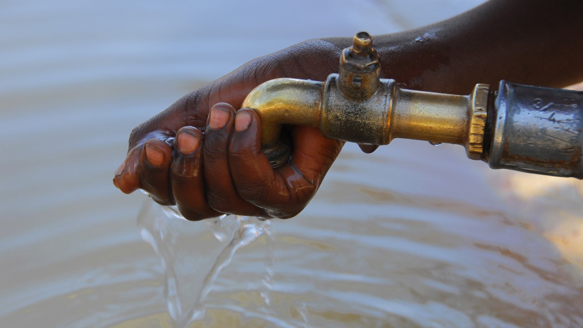
To identify areas with inadequate facilities, the organization used GIS at the village level—and is making progress in improving assets.
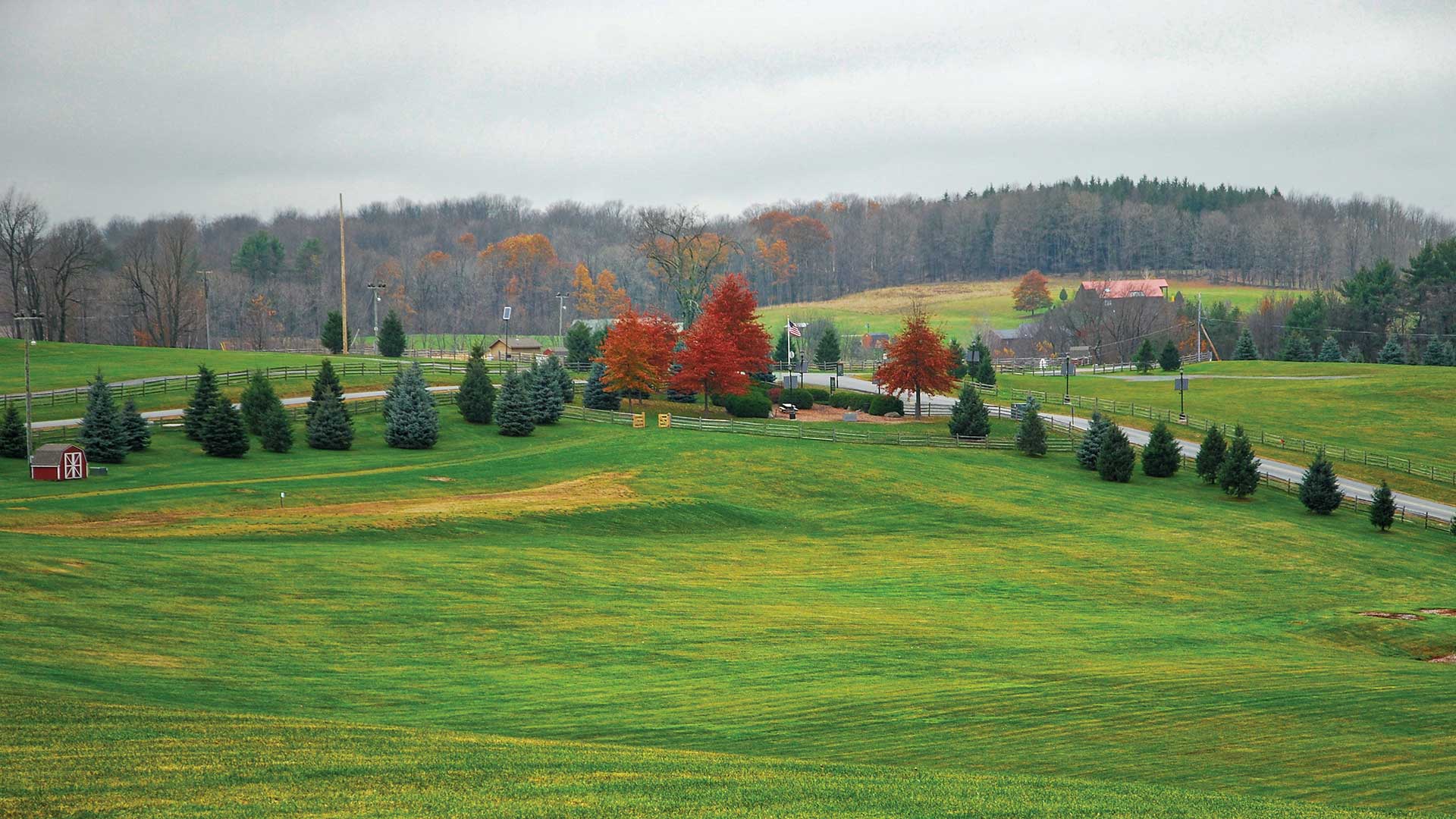
Sullivan County, New York—home to Woodstock—now uses GIS for everything from address verification to event management.
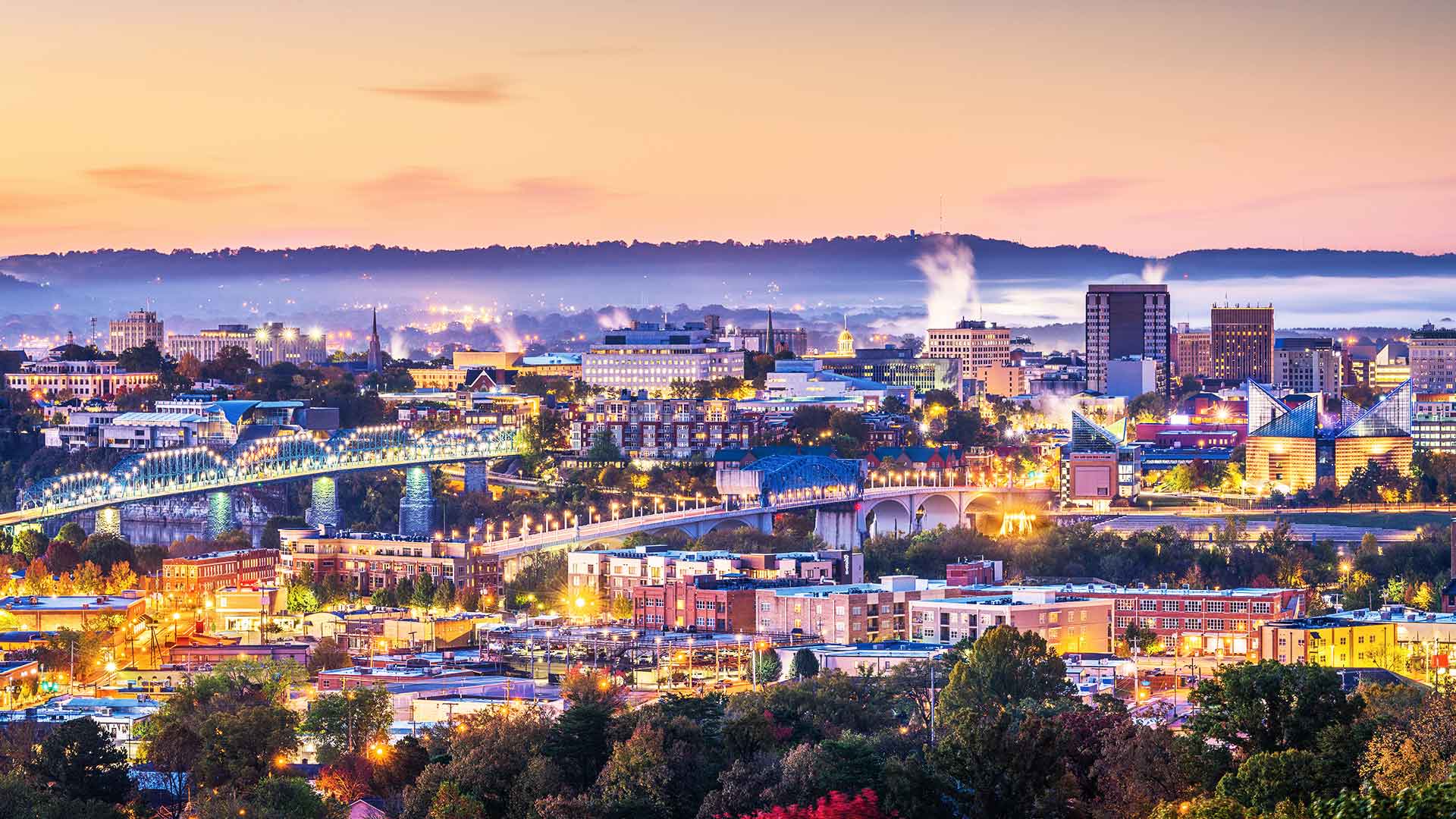
A big redevelopment project in Memphis, Tennessee, leveraged lots of geospatial technology—from apps to surveys—to aid with decision-making.
The new team will support a growing user community in government, business, and nongovernmental organizations.
Navigating and making the most of a budding GIS career can be daunting. Getting involved with a professional organization can help.
The World Geospatial Industry Council (WGIC) brings together the most respected leaders in the geospatial industry under one umbrella.