Esri Partners Support Customers through Crucial Transitions
See how four Esri partners helped several organizations improve operations, update planning procedures, and streamline data management.
See how four Esri partners helped several organizations improve operations, update planning procedures, and streamline data management.
Recent updates boost organizational efficiency, give mobile workers new field capabilities, and support integration with other technology.
While searching for the four-year-old girl and her dog in a rural area, the massive search party relied on real-time GIS to track progress.
The Los Angeles Department of Water and Power is making spatial data more widely and readily available with ArcGIS Enterprise.
A new mobile app, ArcGIS Field Maps, gives mobile workers a single app that can perform multiple critical field activities.
The Census Bureau collaborated with Esri, weaving geospatial capabilities into every operational component of its 2020 Census.
Law enforcement working on California wildfires tasked Esri partner and geospatial consulting firm GeoAcuity with obtaining aerial images.
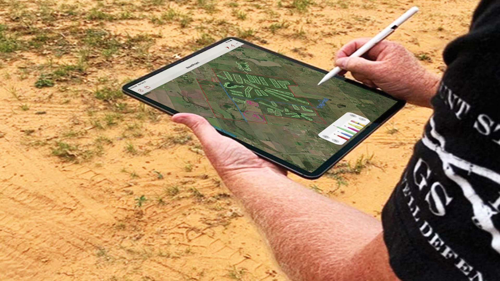
Spring Creek Outdoors, LLC, set out to find a user-friendly way to access maps in the field and annotate them.
The new app gives users the ability to collect data, view maps, and track locations all within a single mobile experience.
Using ArcGIS Utility Network and ArcGIS Collector, AltaGas Utilities reduced asset inspection times by 50 percent.
The Burnaby Public Library uses ArcGIS Navigator to efficiently deliver books to patrons who are unable to make visits themselves.
With these enhancements, users in disconnected environments can stay just as organized as everyone else.