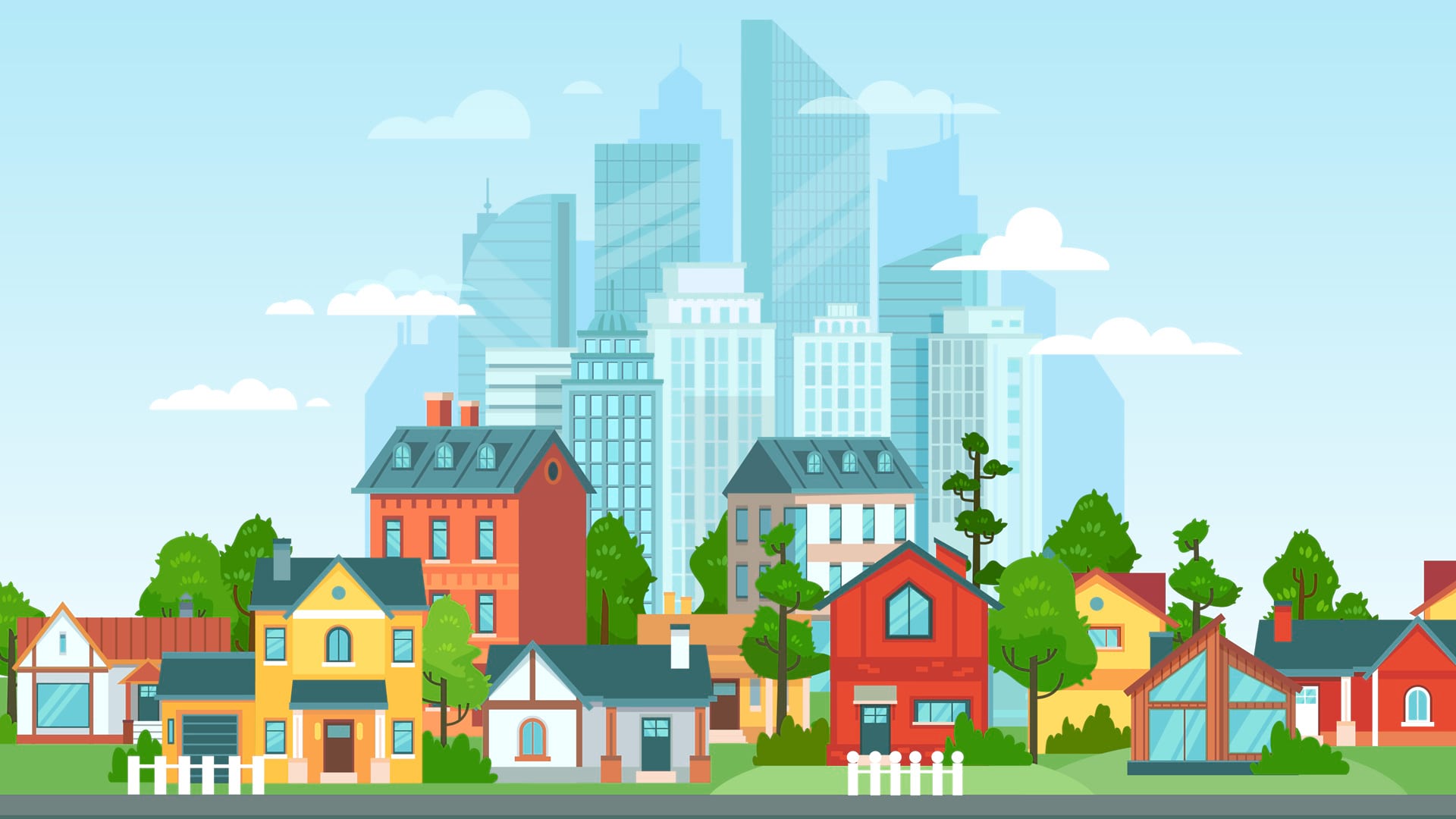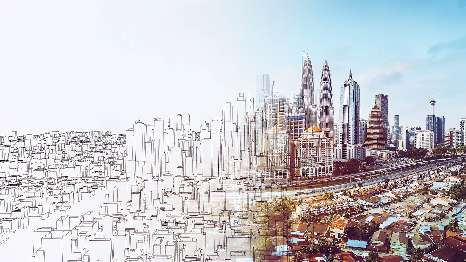
Creating Sustainability: “The Most Important Design Problem in the World”
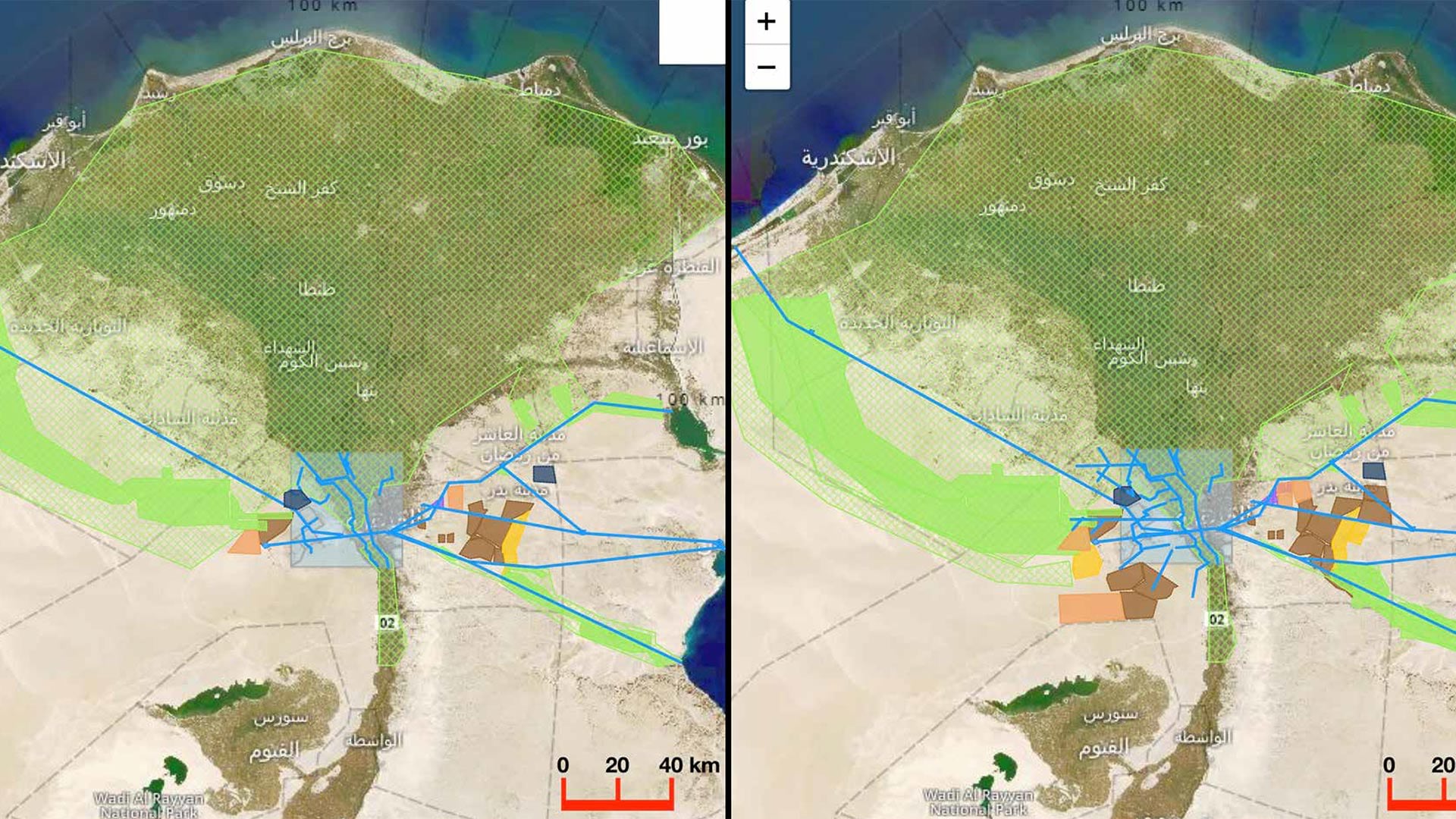
When planners can see their communities’ plans in context, they’ll be able to gauge the effects across counties, nations, and regions.
When planners can see their communities’ plans in context, they’ll be able to gauge the effects across counties, nations, and regions.
AutoCAD 2025 now features ArcGIS Basemaps and ArcGIS Living Atlas of the World data; Esri’s Maps.com highlights exceptional maps.
The Past Pandemic World, by Thomas Fisher, examines how previous pandemics have changed cities and how COVID-19 is altering various spaces.
To solve urgent societal and environmental problems, the International Geodesign Collaboration is opening up and standardizing geodesign.
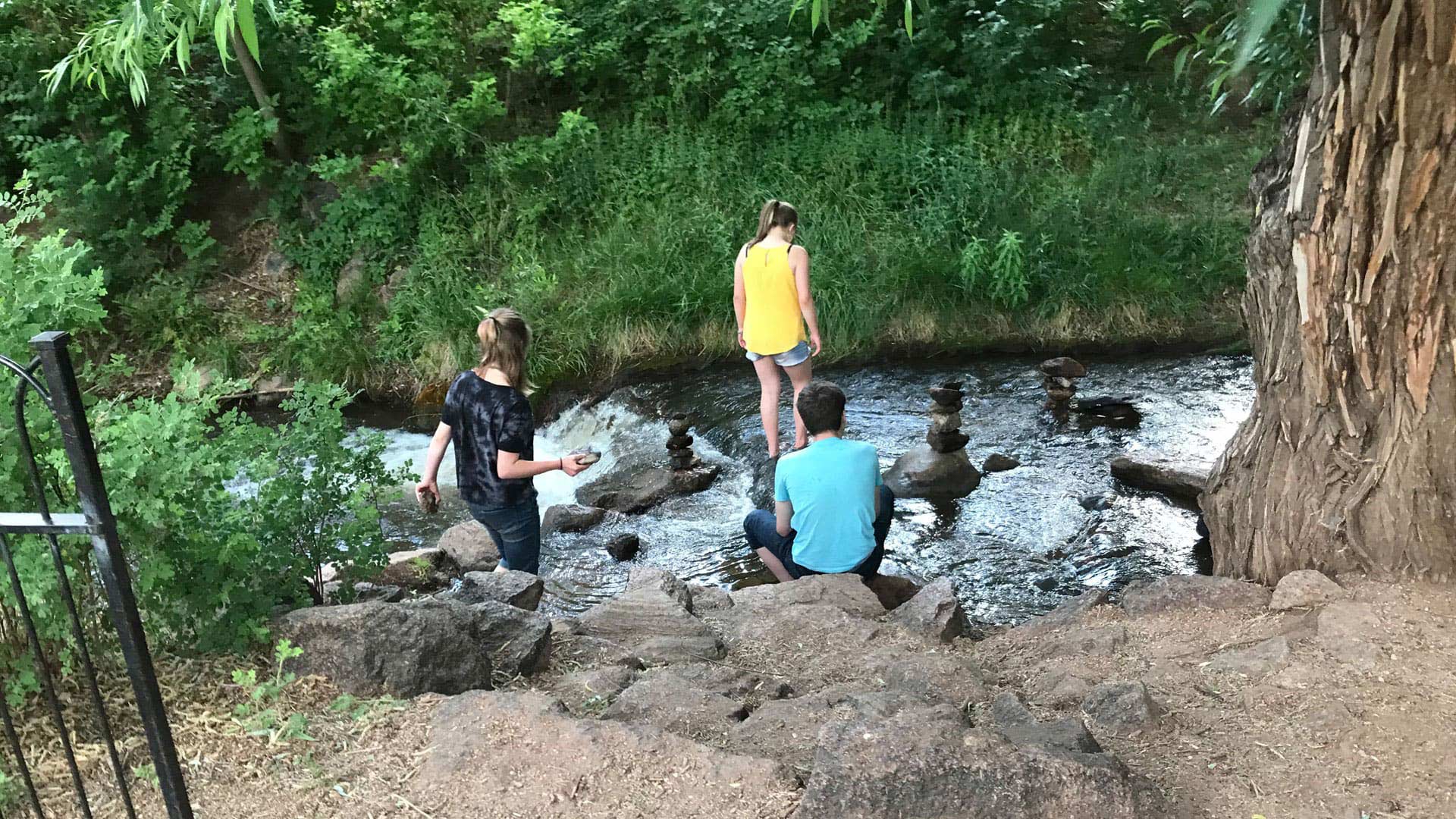
Manitou Springs, Colorado, is employing ArcGIS technology to create walking, biking, shopping, and running routes along a picturesque creek.
I like to think of geodesign as a perfect marriage of art and science. In geodesign, a GIS platform is used to support both the creative act...
"Geodesign is both an ancient idea and a new idea supported by new and advancing technology," said Esri president Jack Dangermond, as he welcomed
An Australian utility adopted a GIS-based process for siting corridors for its transmission lines that is successful because it fosters...
Geodesign is about holistic design and communication.
Geodesign is a method which tightly couples the creation of proposals for change with impact simulations informed by geographic contexts and...
2013 Geodesign Summit attendees discussed how geodesign technology can help model the future and develop sustainable solutions for the planet.
Kongjian Yu, is the son of a Chinese farmer. He grew up on a commune and worked in the rice, wheat, and sugarcane fields with his father until…