From Snapshots to Solutions: Construction Photos Become Collaboration Tools
A basic employee engagement competition fundamentally changed how specialists across disciplines work together.
A basic employee engagement competition fundamentally changed how specialists across disciplines work together.
Find out how to attend summits at the Esri UC, discover the state of US infrastructure, and explore live camera feeds in California.
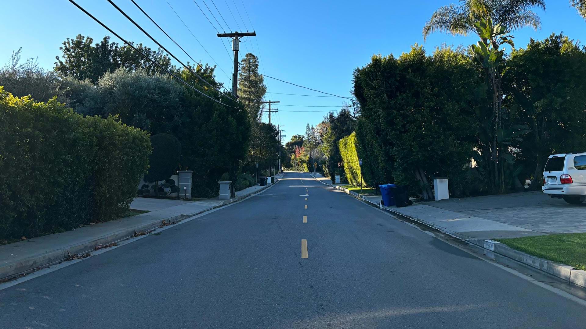
Right-of-ways contain critical infrastructure. That’s why transportation agencies and utility companies are turning to GIS to manage them.
From building the city’s first sewer GIS database to inspiring interns, John Studtmann has made a lasting impact on his city.
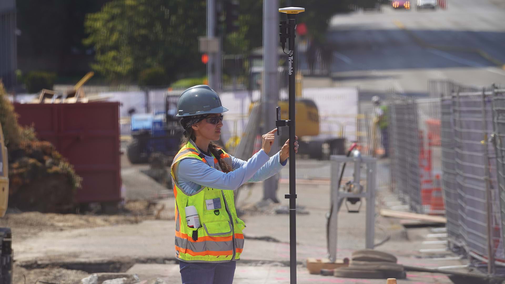
A product called Appia helps companies incorporate construction contract activities into their maps and dashboards.
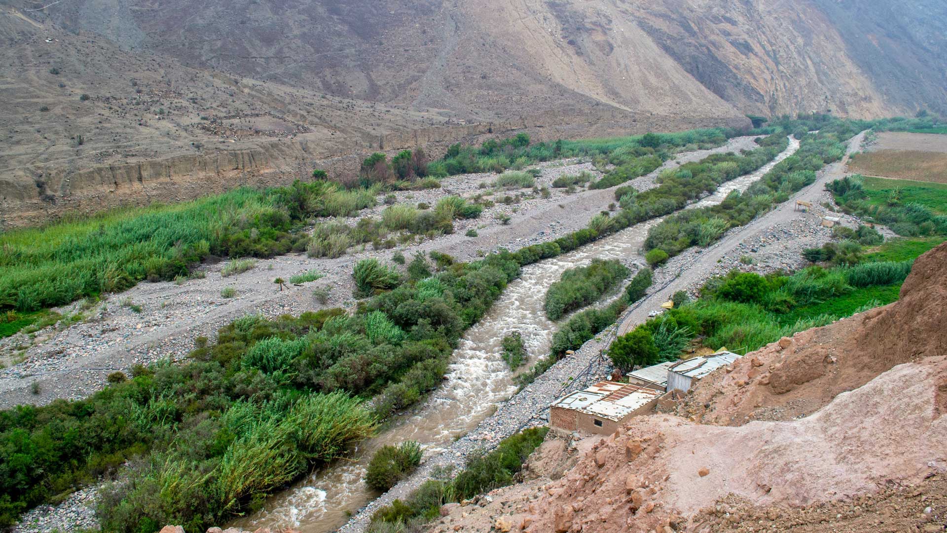
GIS-based 3D models are helping the Peruvian government rebuild public infrastructure after widespread flooding and plan for the future.