Metro de Medellín Builds an Intelligent Asset System with ArcGIS Enterprise
Colombia’s second-largest mass transit system has saved millions of dollars by using advanced GIS to manage its real estate.
Colombia’s second-largest mass transit system has saved millions of dollars by using advanced GIS to manage its real estate.
The Move Tucson app allows the public to explore how the city’s transportation plan will change community mobility.
To track assets and workflows along with customer billing information, Sunriver Utilities turned to Elements XS from Esri partner Novotx.
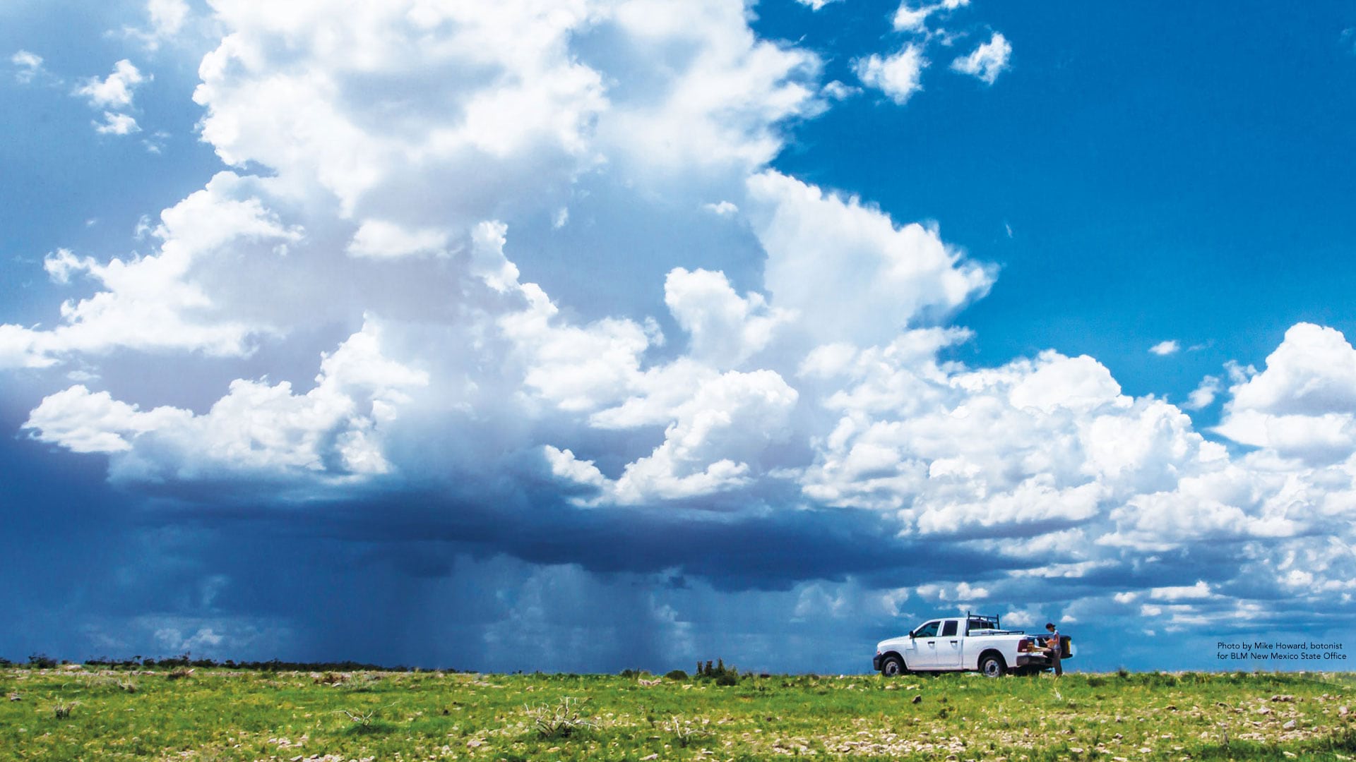
The Bureau of Land Management looks to employees to drive technology change.
See how five Esri partners have used their GIS expertise to assist cities and citizens with planning, navigation, and geospatial technology.
Built on ArcGIS technology, the Easy2Hike app helps hikers, bikers, and equestrians plan hikes and learn more about their surroundings.
To better respond to reports of illegal fireworks in Visalia, California, firefighters and police officers started using ArcGIS technology.
Finding the best fishing hole is now just a few taps away.
For any delivery driver or member of a field workforce, managing a day of stop locations can be tedious and difficult. It's often hard to know...
Follow Ben, Natalie, and Nick as they implement ArcGIS apps for the field to respond to changing conditions more quickly.
Find out how Esri partners are making organizations and communities smarter by giving people access to a wide range of geospatial information.
On the night of December 14, 2016, as an ice storm tore through Eugene, Oregon, the cacophony of fracturing and crashing trees was the call to…