Mapping a Career of Quiet Impact
Throughout his GIS career, Anthony Powell has helped modernize Houston Public Works—while building a culture of trust and innovation.
Throughout his GIS career, Anthony Powell has helped modernize Houston Public Works—while building a culture of trust and innovation.
From building the city’s first sewer GIS database to inspiring interns, John Studtmann has made a lasting impact on his city.
Discover how ArcGIS Field Maps helped improve butterfly conservation efforts in Yamhill County, Oregon.
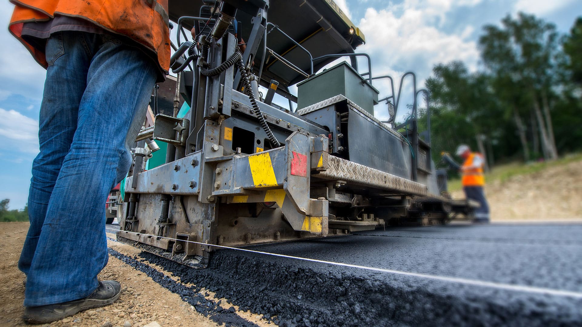
After inventorying its roads, the city built a network schema to show where pavement needed to be replaced and how much it would cost.
Residents of Emerald Isle now have a real-time view of where yard debris trucks are at any given time, improving government transparency.
Maryland Department of Transportation communicates with the public via a website that features details on all active state roadway projects.
The Topeka Public Works Department uses ArcGIS Insights to organize and present budget information in an easy-to-understand way.
"Managing GIS," A column from members of the Urban and Regional Information Systems Association
Just outside Washington, DC, in an office in the public works department of the City of Falls Church, Virginia
Follow Ben, Natalie, and Nick as they implement ArcGIS apps for the field to respond to changing conditions more quickly.
As a technical specialist and director of the 311/CRM program at the ICMA, GIS Hero Cory Fleming helps local governments use 311 system data.
Find out how Esri partners are making organizations and communities smarter by giving people access to a wide range of geospatial information.