AI and Location Intelligence Are Key for Major Event Security
Combining Dataminr’s risk-detection tools with GIS helps event organizers improve security strategies before, during, and after an event.
Combining Dataminr’s risk-detection tools with GIS helps event organizers improve security strategies before, during, and after an event.
The Massachusetts Department of Transportation now uses Velocity and data from Waze to visualize and act on traffic data in real time.
Overwatch Aero employs long-endurance unpiloted aerial systems (UAS) to provide firefighting agencies with live situational awareness.
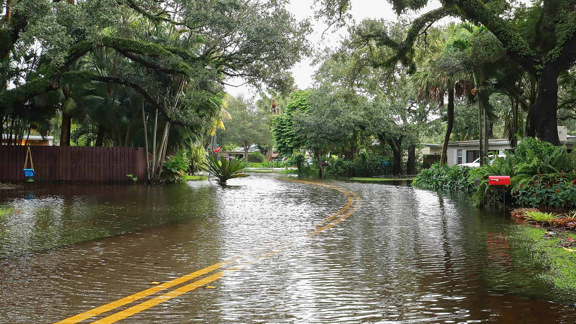
In Norfolk, Virginia, the city needed a way to alert the public about flooded roads. That’s where FloodMapp comes in.
Using a custom web map to investigate illegal water connections, Maynilad Water Services has recovered $410,000 in commercial losses.
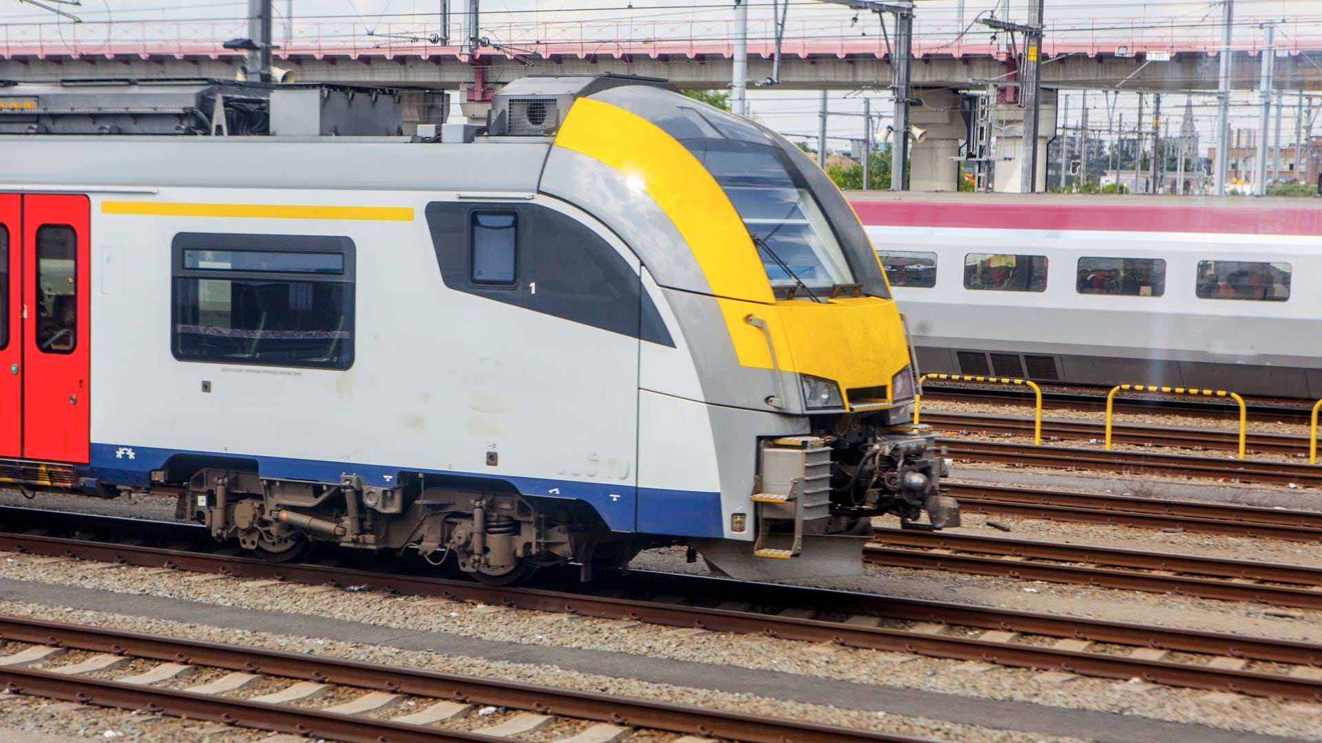
Government agency Infrabel developed two GIS-based apps that track train and worker movements—in some cases, down to the subfoot level.
Real-time snowplow monitoring proves successful, opening doors to implement the cloud-based product for additional public works projects.
ArcGIS Indoors is available in three options, making it easier for organizations to extend their existing ArcGIS systems for indoor needs.
The Snow Mappy app uses location intelligence to help skiers and snowboarders find their way around a mountain safely and successfully.
To replace a complex rail bridge, staff at Esri partner HNTB put ArcGIS GeoBIM to the test—and now see how ArcGIS Velocity could help, too.
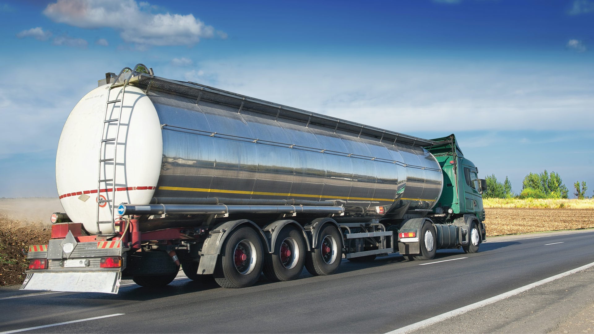
To better track hundreds of tanker trucks that distribute fuel in Argentina, the Pan American Energy Group turned to ArcGIS technology.
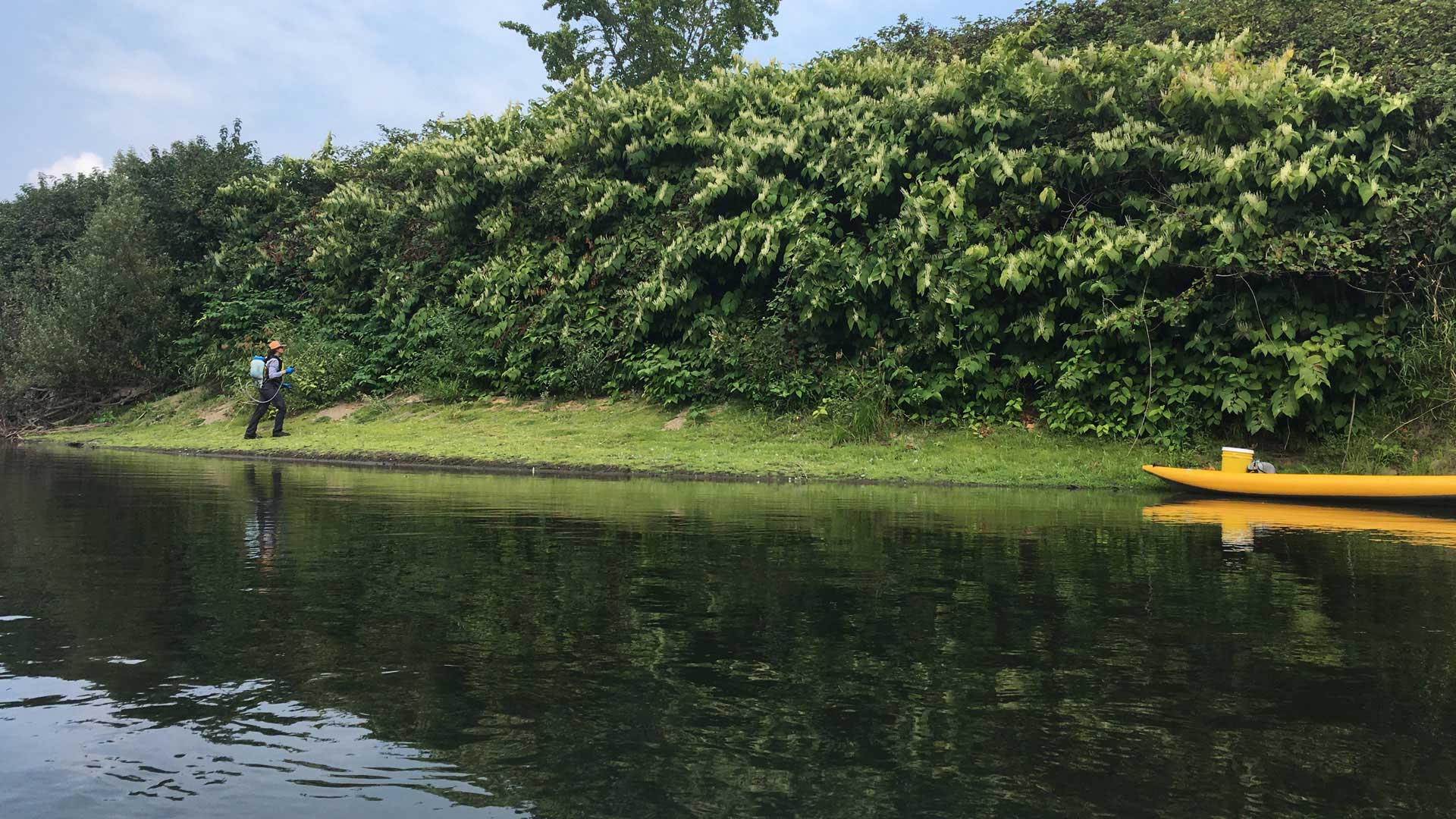
Using ArcGIS QuickCapture, King County, Washington, gets improved information about invasive plants.